Land at Glenelg, Kings Causeway, TAIN, IV19 1NE
- PROPERTY TYPE
Plot
- SIZE
Ask agent
Description
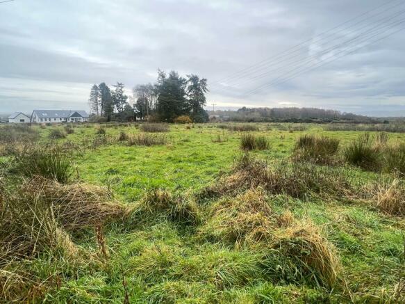
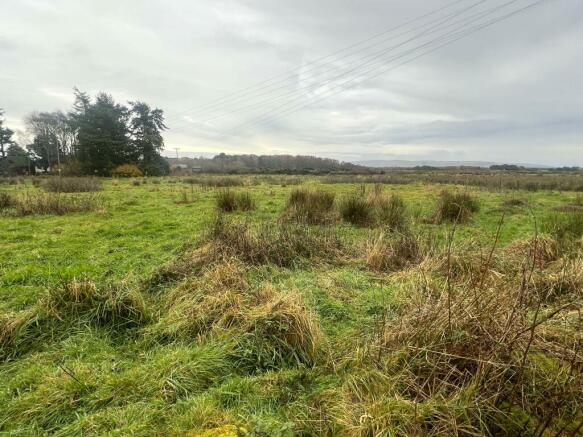
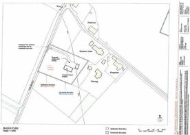
Extending to approximately 1.08 acres, the plot comes with planning in principle for the erection of a dwellinghouse and garage. Full details of the planning consent can be found on the Highland Council website reference 22/01387/PIP.
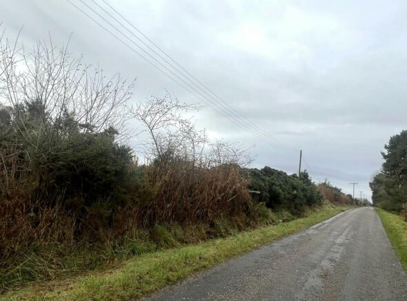
Mains water is available adjacent to the site while electricity is available on site. Drainage is by way of septic tank.
The village of Tain is approximately 5 miles away and offers an excellent range of facilities including supermarket, bank, Post Office in a thriving High Street with a good selection of retail outlets. There is also a Golf Course at nearby Dornoch as well as some admirable beaches. Both primary and secondary education is available in Tain, to which bus transportation is provided daily.
Inverness, the main business and commercial centre in the Highlands is approximately 30 miles away and offers extensive shopping, leisure and entertainment facilities, along with excellent road, rail and air links to the South and beyond.
Brochures
Brochure 1Land at Glenelg, Kings Causeway, TAIN, IV19 1NE
NEAREST STATIONS
Distances are straight line measurements from the centre of the postcode- Tain Station2.5 miles
- Fearn Station2.8 miles
Notes
Disclaimer - Property reference 9723. The information displayed about this property comprises a property advertisement. Rightmove.co.uk makes no warranty as to the accuracy or completeness of the advertisement or any linked or associated information, and Rightmove has no control over the content. This property advertisement does not constitute property particulars. The information is provided and maintained by Macleod & MacCallum, Inverness. Please contact the selling agent or developer directly to obtain any information which may be available under the terms of The Energy Performance of Buildings (Certificates and Inspections) (England and Wales) Regulations 2007 or the Home Report if in relation to a residential property in Scotland.
Map data ©OpenStreetMap contributors.


