Smugglers Lane, Upper Beeding
- PROPERTY TYPE
Land
- SIZE
Ask agent
Key features
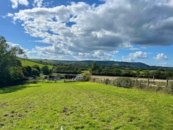
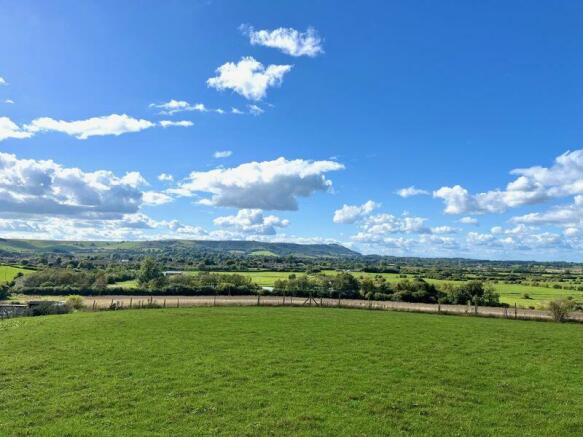
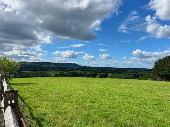
- An appealing equestrian smallholding located within the South Downs National Park with stunning views across the River Adur Valley to Chanctonbury Ring & the South Downs.
- Extending overall to approximately 2.46 acres (0.99 Ha).
- Including a range of stables, stores, field shelters & outbuildings.
- Upper Beeding within 0.4 mile. Direct access to public byway/bridleway.
Description
The land includes from the gated access off Smugglers Lane an initial parking and yard area and including various outbuildings and thence gated access into two main paddocks with an end gateway thence leading onto Smugglers Lane/the public byway in the North-East corner and a further gate into a third paddock. The buildings briefly comprise timber built and felt span roof covered hay/feed store divided into three sections of 3.43m x 3.63m, 3.43m x 2.8m and 3.43m x 3.6m. Next to this is a pair of timber stables, each box c. 3.56m x 3.47m and under a pitched roof. Adjacent to this an old lorry bed/storage container and further parking and chicken run area. To the other side of the yard area, a matching pair of timber stables, each box c. 3.56m x 3.47m. Next to this are three further stables/field shelter measuring overall 10.87m x 3.6m and of timber construction with corrugated sheet pitched roof. In the first paddock is a further timber-built field shelter with corrugated sheet roof, overall approx. 12m x 3.26m. To the North-East corner is a further, triangle shaped interlinking paddock with small field shelter to one side.
Brochures
Property BrochureFull DetailsSmugglers Lane, Upper Beeding
NEAREST STATIONS
Distances are straight line measurements from the centre of the postcode- Shoreham-by-Sea Station3.7 miles
- Southwick Station4.3 miles
- Lancing Station4.4 miles
Notes
Disclaimer - Property reference 12501389. The information displayed about this property comprises a property advertisement. Rightmove.co.uk makes no warranty as to the accuracy or completeness of the advertisement or any linked or associated information, and Rightmove has no control over the content. This property advertisement does not constitute property particulars. The information is provided and maintained by H J Burt, Steyning. Please contact the selling agent or developer directly to obtain any information which may be available under the terms of The Energy Performance of Buildings (Certificates and Inspections) (England and Wales) Regulations 2007 or the Home Report if in relation to a residential property in Scotland.
Map data ©OpenStreetMap contributors.


