43-45 High Street, Orpington, Kent, BR6
- SIZE AVAILABLE
2,109 sq ft
196 sq m
- SECTOR
Shop for sale
Key features
- Area - Orpington
- Size - 2,109 sqft
- Local Amenities - Walnuts Shopping Centre (0.3 miles), Negent Shopping Park (0.9 miles), Petts Wood and Hawkwood (1.3 miles)
- Property Type - Freehold Mixed Use
Description
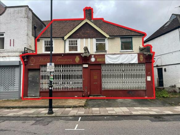
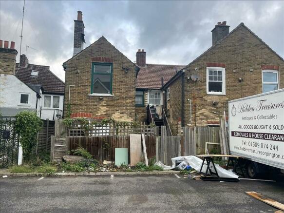
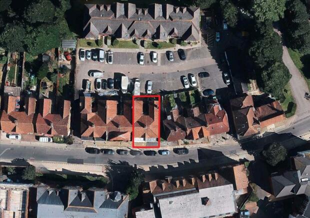
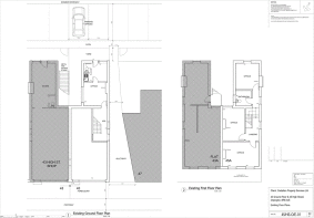
The property is located at 43-45 High Street, Orpington, BR6 0JE and is comprised of 2 buildings, 43 High Street and 45 High Street. 43 High Street is comprised of a ground floor commercial unit which is tenanted at £8160 per annum and a 1 bedroom flat on the first floor which is let at £3632 per annum via housing association until 2027. 45 high street is comprised of 2 separate units, a front ground floor commercial unit which is vacant and a rear ground floor/ 1st floor commercial unit which is vacant. 4 car parking spaces are included to the rear of the property.
The property measures approximately 2109sqft internally.
The property has not yet been measured and we advise anyone to undertake their own research.
Offers are encouraged in excess of £500,000 and viewings are by appointment only.
Brochures
43-45 High Street, Orpington, Kent, BR6
NEAREST STATIONS
Distances are straight line measurements from the centre of the postcode- Orpington Station0.8 miles
- St. Mary Cray Station1.0 miles
- Petts Wood Station1.4 miles
Notes
Disclaimer - Property reference LON0008D8. The information displayed about this property comprises a property advertisement. Rightmove.co.uk makes no warranty as to the accuracy or completeness of the advertisement or any linked or associated information, and Rightmove has no control over the content. This property advertisement does not constitute property particulars. The information is provided and maintained by Whozoo, London. Please contact the selling agent or developer directly to obtain any information which may be available under the terms of The Energy Performance of Buildings (Certificates and Inspections) (England and Wales) Regulations 2007 or the Home Report if in relation to a residential property in Scotland.
Map data ©OpenStreetMap contributors.


