Moons Green Lane, Wittersham
- PROPERTY TYPE
Land
- SIZE
Ask agent
Key features
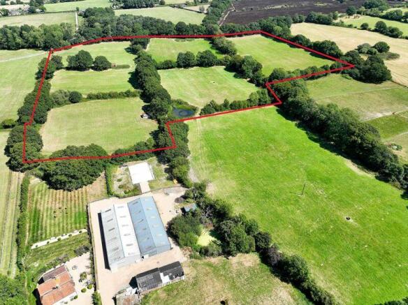
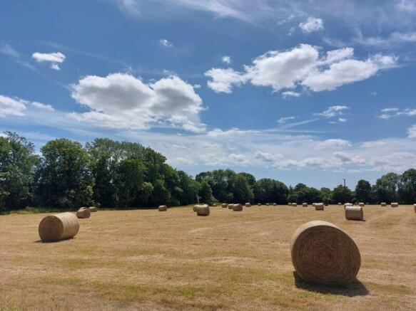
- Attractive block of level Grade III grassland divided into 6 fields
- 20.42 acres (8.26 hectares)
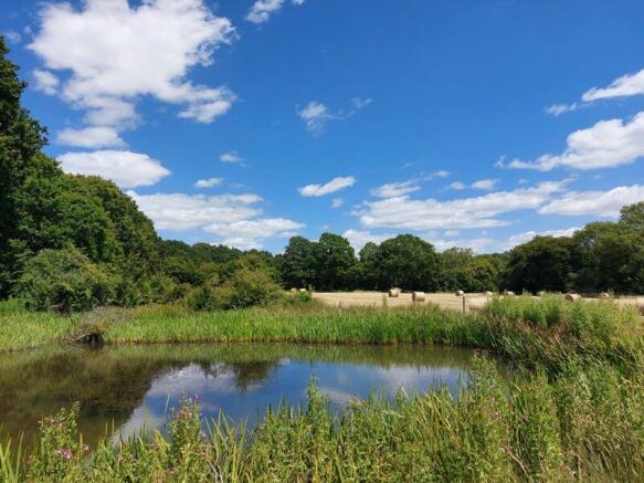
- Range of field shelters and Wealden ponds
- Private location near sought after village of Wittersham
Description
METHOD OF SALE: The land is offered for sale by Private Treaty. The selling agents may set a deadline for Best and Final Offers in the event that significant interest is received.
RESTRICTIONS: The land will be sold subject to restrictive covenants. Details are available on request from the selling agents.
TENURE: The land is offered freehold with vacant possession.
SERVICES: The land is not connected to any services. The vendors may consider negotiating a water connection from their retained property.
LOCAL AUTHORITY: Ashford Borough Council, Civic Centre, Tannery Lane, Ashford, Kent TN23 1PL.
To download the full particulars please see the attached links below. Should you wish to have a copy of the brochure posted to you or discuss details further please don't hesitate to contact us on the numbers provided.
Brochures
Full DetailsBrochureLand PlanMoons Green Lane, Wittersham
NEAREST STATIONS
Distances are straight line measurements from the centre of the postcode- Rye Station4.9 miles


Notes
Disclaimer - Property reference 12483878. The information displayed about this property comprises a property advertisement. Rightmove.co.uk makes no warranty as to the accuracy or completeness of the advertisement or any linked or associated information, and Rightmove has no control over the content. This property advertisement does not constitute property particulars. The information is provided and maintained by Lambert & Foster Ltd, Paddock Wood. Please contact the selling agent or developer directly to obtain any information which may be available under the terms of The Energy Performance of Buildings (Certificates and Inspections) (England and Wales) Regulations 2007 or the Home Report if in relation to a residential property in Scotland.
Map data ©OpenStreetMap contributors.


