Castlemead, Lower Castle Street, Bristol, BS1 3AG
- SIZE AVAILABLE
1,780-4,642 sq ft
165-431 sq m
- SECTOR
Office to lease
Lease details
- Lease available date:
- Ask agent
Key features
- Air Conditioning
- Bike Store
- Car Park
- Commissionaire
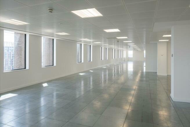
- Metal encapsulated raised floors
- New carpets
- Shower facility
- Suspended metal tiled ceilings
- On-site reception staff and building manager
Description
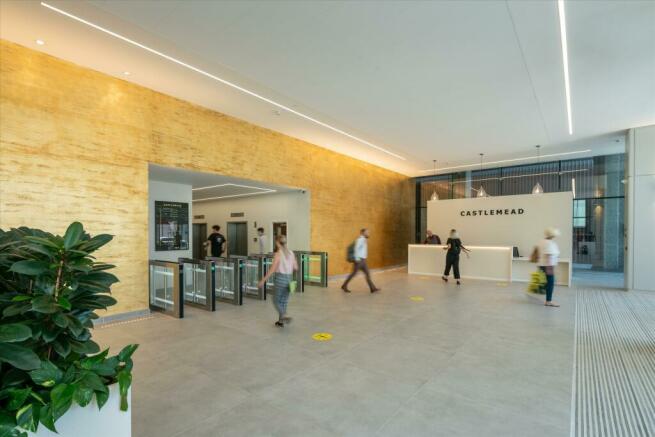
The double height reception, and plaza to the front of the building, are currently being remodelled to provide an outstanding first impression. In addition to this, the building provides outstanding facilities for cyclists and is the first building to have achieved a Cycle Score of Platinum Plus.
Castlemead is positioned adjacent to Cabot Circus and Broadmead shopping areas. The building is a short walk from Castle Park and the Floating Harbour, whilst Temple Meads railway station is only within a 10 min walk. The Inner Ring road is directly accessed from the building and there is an NCP car park directly adjacent to the building.
Brochures
Castlemead, Lower Castle Street, Bristol, BS1 3AG
NEAREST STATIONS
Distances are straight line measurements from the centre of the postcode- Bristol Temple Meads Station0.6 miles
- Montpelier Station0.8 miles
- Lawrence Hill Station0.9 miles
Notes
Disclaimer - Property reference CPD215477. The information displayed about this property comprises a property advertisement. Rightmove.co.uk makes no warranty as to the accuracy or completeness of the advertisement or any linked or associated information, and Rightmove has no control over the content. This property advertisement does not constitute property particulars. The information is provided and maintained by Knight Frank, Bristol - Commercial. Please contact the selling agent or developer directly to obtain any information which may be available under the terms of The Energy Performance of Buildings (Certificates and Inspections) (England and Wales) Regulations 2007 or the Home Report if in relation to a residential property in Scotland.
Map data ©OpenStreetMap contributors.


