Land For Sale in Worcester, Worcestershire
 |
| 1/2
1/2

Prime Development Opportunity in Worcester City Centre A large prominent redevelopment site comprising part of the former Sherriff’s Gate masterplan and extending to 5.9 acres. The site is irregular in shape and abuts the railway line to the west and Sherriff Street to the east. Many of the fo...






 |1/20
|1/20


Philip Laney & Jolly Worcester present to the market a building plot with full planning permission from Worcester City council 23/00551/FUL - Erection of new dwelling with new vehicular access. Please note the planning permission expires in July 2026. The planning allows for a three bedroom...

 |1/3
|1/3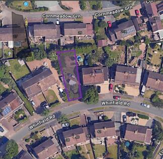
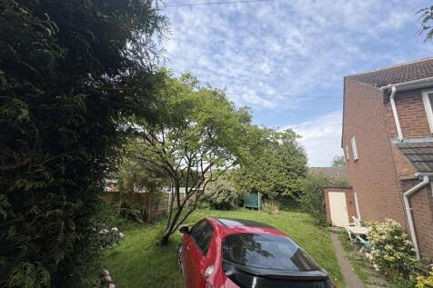
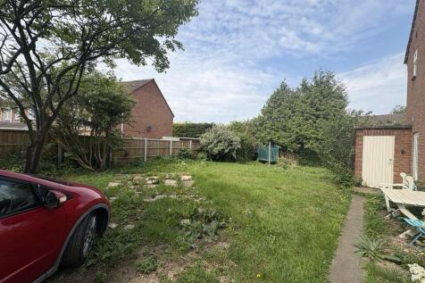
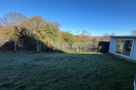
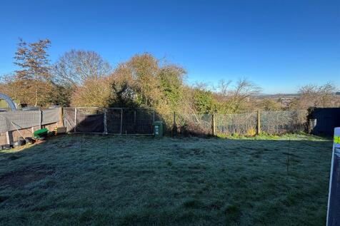
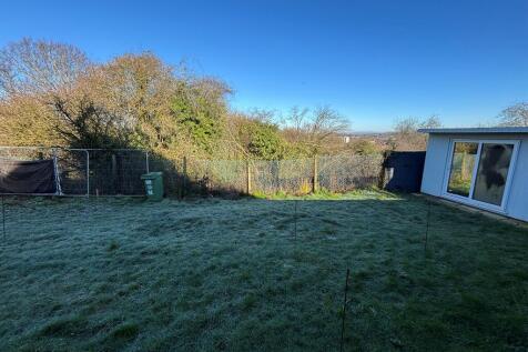
An exciting opportunity to acquire a building plot measuring approximately 265 sqm, ideally portioned within a well established residential area. The site previously had planning permission granted for a four bedroom detached house (now lapsed), offering a strong basis for reapplication, subject tot
 1/2
1/2

The Land is generally flat and comprises approximately 17.5 acres of arable land bound by mature trees and hedgerows. It is currently accessed from the northwest corner through a single gate off Upper Wick Lane. The Land is included within the Adopted South Worcestershire Development Plan Review (South Worcestershire Development Plan Review 2021 - 2041 - South Worcestershire Development Plan) as a strategic allocation forming part of an 83.29-hectare site at Rushwick (SWDPR 56): Land within the strategic allocation at Rushwick will be developed to deliver approximately 1,000 new dwellings within the Plan period, provide at least 5 hectares of employment land, a new railway station, a new primary school, retail and supporting services and other community facilities. See page 188 of the South Worcestershire Development Plan Review for an indictive concept plan. The Vendor supported the proposed allocation throughout the development of the SWDPR, entering into a Statement of Common Ground on 12 February 2025 stating that it will work with the South Worcestershire Councils and the other landowners on delivering the proposed expansion of Rushwick. Any future landowner is expected to comply with the stated objectives of RES and work with the South Worcestershire Councils and third-party landowners.
 1/6
1/6


Description: Extending to a broadly regular and gently undulating area of pastureland, the site of 40 acres is defined by mature hedgerows and intermittent tree belts, creating a strong landscape framework. The western boundary fronts directly onto Hurst Lane, offering clear potential for access, whilst the surrounding context reflects a transition from existing residential development to open countryside. The site occupies a highly sustainable edge-of-settlement position, adjoining established residential areas to the west and south. Importantly, the land presents a compelling strategic development opportunity, being well related to the existing built form and demonstrating logical potential for future growth of the settlement. The site may be suitable for promotion through the emerging Local Plan process, including Call for Sites and site allocation, either independently or as part of a wider strategic landholding. Given ongoing housing land supply pressures within the district and the site's strong locational attributes, the land is considered to have good prospects for residential-led development in the medium to long term, subject to the necessary planning consents. Location: The land is situated to the east of Hurst Lane on the northern edge of Fernhill Heath, an attractive and well-served village located approximately 3 miles north of Worcester city centre. The site benefits from a highly accessible position, combining a semi-rural setting with proximity to...