Commercial Land To West Of Gestamp, Llethri Road, Felinfoel, Llanelli, SA14 8EU
- SIZE AVAILABLE
200,376 sq ft
18,616 sq m
- SECTOR
Land for sale
Key features
- Allocated commercial land forming part of established commercial area, suitable for a variety of commercial, uses subject to statutory consents
- Prominent roadside location at the junction of Llethri Road and B4303
- Total Site Area 4.6 acres (1.86 hectares)
- Located adjacent to Gestamp
- Good connectivity to A476 and A4138 and the National Road Network
Description
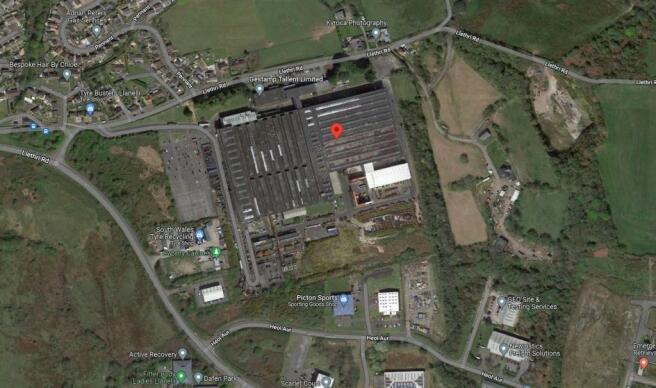
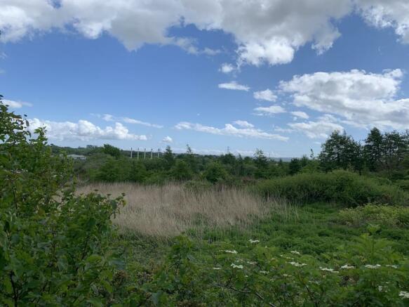
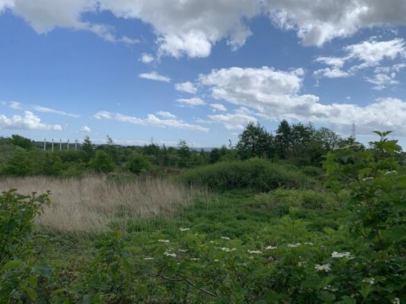
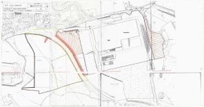
The property comprises of allocated commercial land that is held under the ownership of Title Number WA474121 and provides a Total Site Area of approximately 4.6 acres (1.86 hectares). The land is undeveloped and benefits from a return road frontage onto B4303 and Llethri Road.
The land would lend itself to a variety of commercial uses, subject to statutory consents.
It is proposed that the land is accessed from B4303, further details available from the selling agents.
The land is allocated for commercial use and further details are available from the selling agents upon request.
Location
The land is prominently located at the junction of B4303 and Llethri Road in an established popular commercial area serving the town of Llanelli. The B4303 serves as a link to the A476 and the A4138 and to the national road network.
The land is located adjacent to Gestamp and is prominently located meaning it is suitable for a variety of uses, subject to statutory consents.
Llanelli is linked with the M4 motorway via the A4138 and with Swansea via the Loughor Bridge on the A484. It is served by regular bus services between Swansea and Carmarthen and a National Express service to London.
Llanelli is a market town and the largest community in Carmarthenshire and the preserved county of Dyfed, Wales. It is located on the Loughor estuary 10.5 miles (16.9 km) north-west of Swansea and 12 miles (19 km) south-east of the county town, Carmarthen. The town had a population of 25,168 in 2011, estimated in 2019 at 26,225.
The local authority was Llanelli Borough Council when the county of Dyfed existed, but it has been under Carmarthenshire County Council since 1996.
Brochures
Commercial Land To West Of Gestamp, Llethri Road, Felinfoel, Llanelli, SA14 8EU
NEAREST STATIONS
Distances are straight line measurements from the centre of the postcode- Llangennech Station2.2 miles
- Llanelli Station2.4 miles
- Bynea Station2.4 miles
Notes
Disclaimer - Property reference 114138-1. The information displayed about this property comprises a property advertisement. Rightmove.co.uk makes no warranty as to the accuracy or completeness of the advertisement or any linked or associated information, and Rightmove has no control over the content. This property advertisement does not constitute property particulars. The information is provided and maintained by Halls Commercial, Shrewsbury. Please contact the selling agent or developer directly to obtain any information which may be available under the terms of The Energy Performance of Buildings (Certificates and Inspections) (England and Wales) Regulations 2007 or the Home Report if in relation to a residential property in Scotland.
Map data ©OpenStreetMap contributors.


