Shieldhill Burn, Hebron
- PROPERTY TYPE
Land
- SIZE
319,295 sq ft
29,663 sq m
Key features
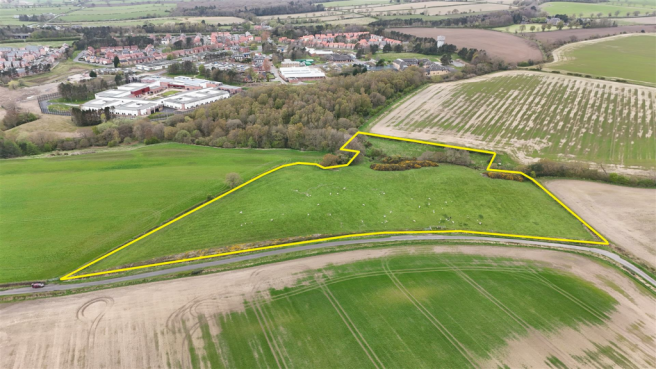
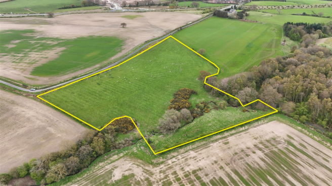
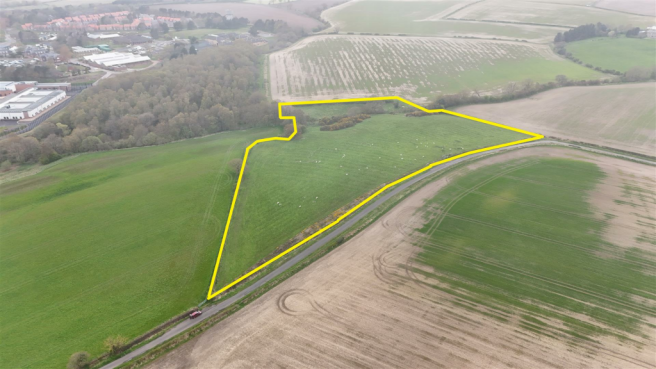
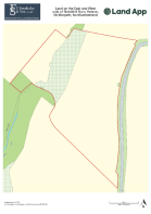
- Approximately 7.33 acres.
- Grade 3 agricultural land classification.
- Adopted highway access.
- Close proximity to amenities
- Overage Clause Applicable
Description
The land is in close proximity to the A1 which lies approximately 0.96 km (0.6 miles) to the west.
The site is situated in the Northumberland Green Belt and is available for sale subject to an overage clause for any development other than agricultural or equestrian with 30% of the uplift payable with an overage term of 30 years.
For Sale By Private Treaty.
Brochures
Particulars 141024.pdfBrochureShieldhill Burn, Hebron
NEAREST STATIONS
Distances are straight line measurements from the centre of the postcode- Pegswood Station2.3 miles
- Morpeth Station1.8 miles
- Widdrington Station5.1 miles
Notes
Disclaimer - Property reference 33060630. The information displayed about this property comprises a property advertisement. Rightmove.co.uk makes no warranty as to the accuracy or completeness of the advertisement or any linked or associated information, and Rightmove has no control over the content. This property advertisement does not constitute property particulars. The information is provided and maintained by Fazakerley Sharpe, Wigan. Please contact the selling agent or developer directly to obtain any information which may be available under the terms of The Energy Performance of Buildings (Certificates and Inspections) (England and Wales) Regulations 2007 or the Home Report if in relation to a residential property in Scotland.
Map data ©OpenStreetMap contributors.


