Potton Road, Sandy, Bedfordshire, sg19
- SIZE
Ask agent
- SECTOR
Commercial development for sale
Description
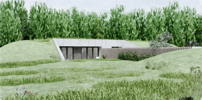
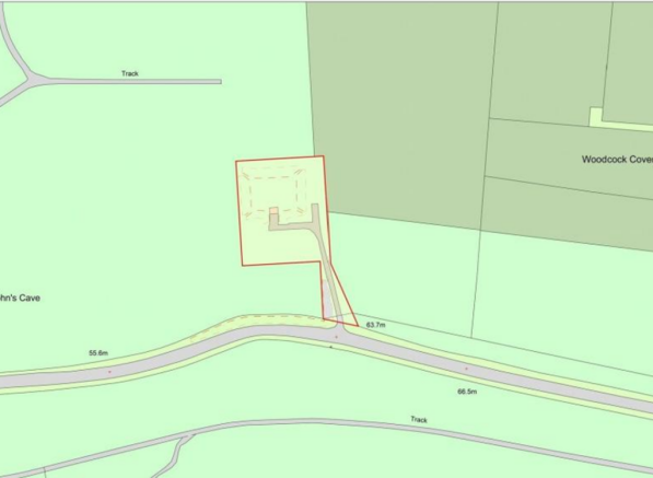
The Bunker, A rare opportunity to purchase 1 acre of land with planning permission to create a unique, modern, and contemporary self-build house. The house is created by converting a former reservoir site, so you would create a vast and stingingly beautiful 3000 Square foot Detached house with a grass roof, nestled in the countryside surround by a trees, nature and wildlife and located within strolling distance of the RSPB Bird lodge and the train station.
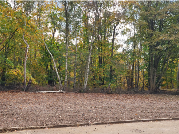
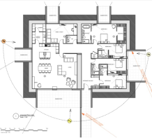
Much of the work has already been done on site, including landscaping water and power connections, The site has been cleared and the doorways are ready to be created through the 2.4-metre-thick walls. This stunning house would have 4.2 meter high internal head height with lovely cavernous rooms, there will be doorways on the North, South, East and West Elevations.
This interesting house sits in an acre with a rooftop garden that enjoys panoramic views of the trees and fields and enjoys a peaceful, quiet, tranquil location
Brochures
Potton Road, Sandy, Bedfordshire, sg19
NEAREST STATIONS
Distances are straight line measurements from the centre of the postcode- Sandy Station0.9 miles
- Biggleswade Station2.7 miles
Notes
Disclaimer - Property reference 27724370. The information displayed about this property comprises a property advertisement. Rightmove.co.uk makes no warranty as to the accuracy or completeness of the advertisement or any linked or associated information, and Rightmove has no control over the content. This property advertisement does not constitute property particulars. The information is provided and maintained by Satchells Commercial, Hitchin. Please contact the selling agent or developer directly to obtain any information which may be available under the terms of The Energy Performance of Buildings (Certificates and Inspections) (England and Wales) Regulations 2007 or the Home Report if in relation to a residential property in Scotland.
Map data ©OpenStreetMap contributors.


