Luxulyan, Cornwall, PL30
- PROPERTY TYPE
Land
- SIZE
60,984 sq ft
5,666 sq m
Description
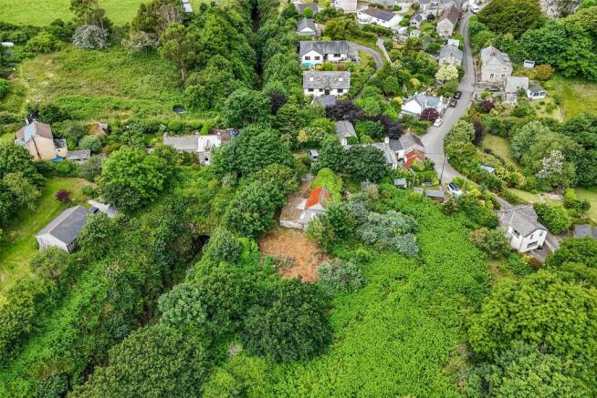
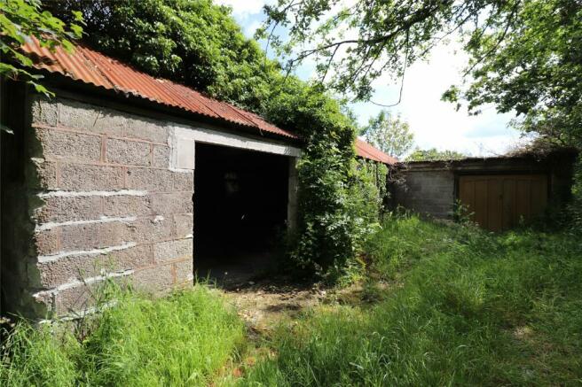
As notification of proposed development of the building was sought from Cornwall Council as the local planning authority, that authority has confirmed that the proposal constitutes permitted development as defined under Class Q , part 3 of The General Permitted development Order 2015 and therefore will not require prior approval. However the development must be carried out wholly in accordance with the submitted details, plans and conditions that can be inspected on the planning portal of Cornwall Council under application number: PA24/02116.
We have attached the proposed accommodation layout prepared by our clients planning consultants, Laurence Associates of Truro which can be found on the portal also.
What3Words - puncture.cello.climbing
Brochures
ParticularsLuxulyan, Cornwall, PL30
NEAREST STATIONS
Distances are straight line measurements from the centre of the postcode- Luxulyan Station0.3 miles
- Bugle Station2.4 miles
- Par Station2.9 miles
Bodmin has a strategic location in the heart of Cornwall being at the junction of the A30 and A38 trunk roads. The town also has a main line railway station on its outskirts serving the Penzance to Paddington route. The population is about 16,000 and is less than one hours drive from the M5 motorway at Exeter.
Notes
Disclaimer - Property reference BOD210200. The information displayed about this property comprises a property advertisement. Rightmove.co.uk makes no warranty as to the accuracy or completeness of the advertisement or any linked or associated information, and Rightmove has no control over the content. This property advertisement does not constitute property particulars. The information is provided and maintained by Webbers Property Services, Bodmin. Please contact the selling agent or developer directly to obtain any information which may be available under the terms of The Energy Performance of Buildings (Certificates and Inspections) (England and Wales) Regulations 2007 or the Home Report if in relation to a residential property in Scotland.
Map data ©OpenStreetMap contributors.


