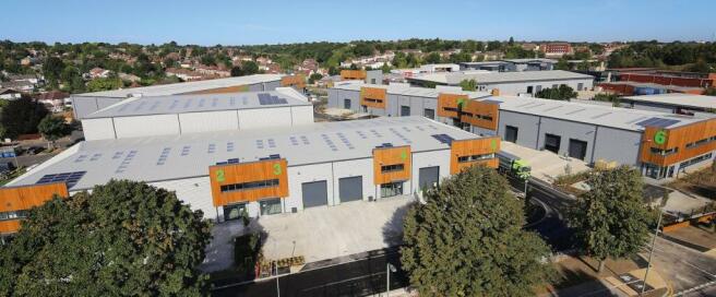
Halo Business Park, Orpington, BR5 2ER
- SIZE AVAILABLE
7,653-8,245 sq ft
711-766 sq m
- SECTOR
Light industrial facility to lease
Lease details
- Lease available date:
- Ask agent
Key features
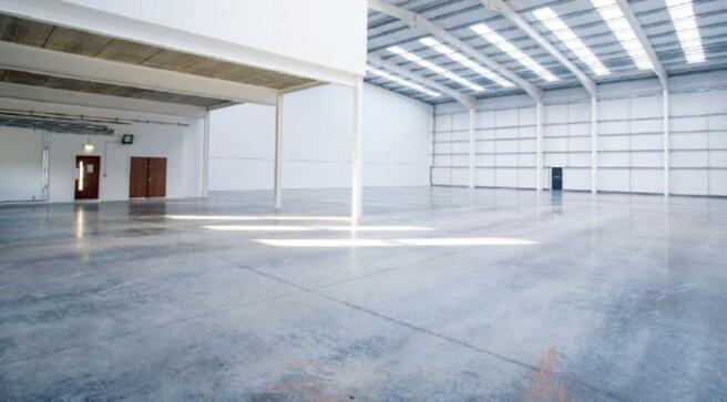
- Clear internal height of 7.5m
- Electric roller shutter loading door
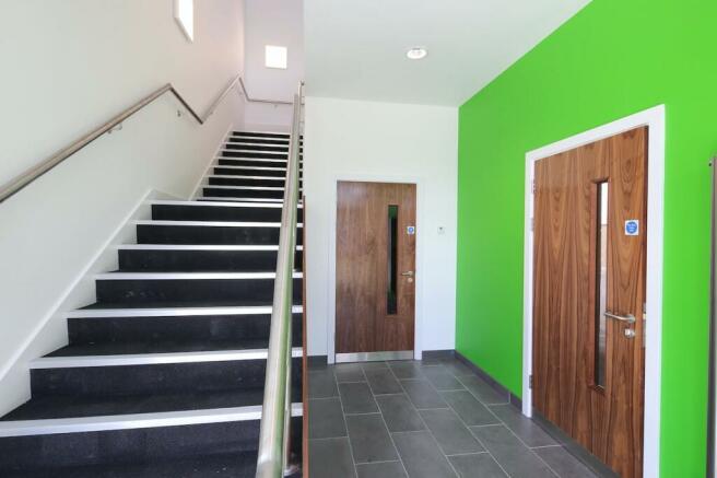
- Fully carpeted and heated offices
- EPC A
- Car parking spaces
Description
An exciting new speculative trade and warehouse development which totals up to 148,962 sq ft, offering 14 units to suit all your business needs.
Location
Orpington is located in south east London approximately 5.5 miles to the south east of Bromley.
HALO is situated in the heart of the main Orpington commercial area for trade, retail and distribution with frontage directly onto Cray Avenue (A224).
Cray Avenue is one of the major thoroughfares in the area, and links directly to the A20 to the north ( 1.5 miles ) and in turn the M25 at junction 3 ( 4.5 miles ) and to the south at junction 4 ( 4 miles ) via the A21.
St Mary Cray station is within 0.3 miles of the site providing a direct train service to London Victoria (30 minutes).
Brochures
Halo Business Park, Orpington, BR5 2ER
NEAREST STATIONS
Distances are straight line measurements from the centre of the postcode- St. Mary Cray Station0.3 miles
- Petts Wood Station1.7 miles
- Orpington Station1.7 miles
Notes
Disclaimer - Property reference 69863-2. The information displayed about this property comprises a property advertisement. Rightmove.co.uk makes no warranty as to the accuracy or completeness of the advertisement or any linked or associated information, and Rightmove has no control over the content. This property advertisement does not constitute property particulars. The information is provided and maintained by BNP Paribas Real Estate Advisory & Property Management UK Limited, Industrial & Logistics. Please contact the selling agent or developer directly to obtain any information which may be available under the terms of The Energy Performance of Buildings (Certificates and Inspections) (England and Wales) Regulations 2007 or the Home Report if in relation to a residential property in Scotland.
Map data ©OpenStreetMap contributors.


