
Swanstree Avenue, Sittingbourne, Kent, ME10
- PROPERTY TYPE
Land
- SIZE
635,061 sq ft
58,999 sq m
Description
#TheGardenOfEngland
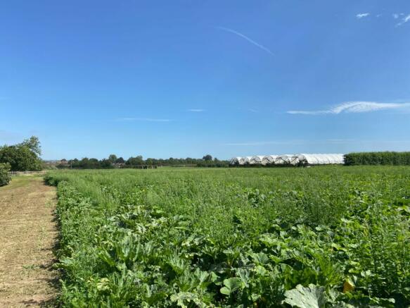
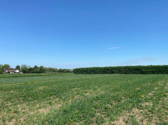
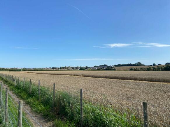
This is an excellent and straight forward green field development site, located on the southern edge of Sittingbourne. The land extends to approx. 5.9 ha with planning permission for a residential development of up to 135 houses.
This is an excellent and straight forward green field development site, located on the southern edge of Sittingbourne. The land extends to approx. 5.9 ha with planning permission for a residential development of up to 135 houses.
Our Ref: ADL230006
Brochures
ParticularsSwanstree Avenue, Sittingbourne, Kent, ME10

NEAREST STATIONS
Distances are straight line measurements from the centre of the postcode- Sittingbourne Station0.9 miles
- Kemsley Station2.2 miles
- Teynham Station2.8 miles

About the agent
Hobbs Parker Estate Agents, Ashford
Romney House Monument Way, Orbital Park, Ashford, TN24 0HB
How do you choose an Estate Agent when we all appear to offer a similar service? Well, the difference between an average Estate Agency and a very good one is essentially down to the people that work there - we have very good people at Hobbs Parker. To look after you properly we employ the best people who know your area well and have many years of experience handling all the tricky things that buying, selling, letting or renting houses can bring.
Industry affiliations


Notes
Disclaimer - Property reference ADL230006. The information displayed about this property comprises a property advertisement. Rightmove.co.uk makes no warranty as to the accuracy or completeness of the advertisement or any linked or associated information, and Rightmove has no control over the content. This property advertisement does not constitute property particulars. The information is provided and maintained by Hobbs Parker Estate Agents, Ashford. Please contact the selling agent or developer directly to obtain any information which may be available under the terms of The Energy Performance of Buildings (Certificates and Inspections) (England and Wales) Regulations 2007 or the Home Report if in relation to a residential property in Scotland.
Map data ©OpenStreetMap contributors.