
Land Opposite Caebitra, Sarn, Newtown, Powys, SY16

- PROPERTY TYPE
Plot
- SIZE
Ask agent
Key features
- Parcel of Amenity Land
- Currently used as a carpark
- In the small village of Sarn
- Newtown 6 miles, Montgomery 5 miles
- Extending to around 0.14 acres
- Conveniently located off A489 road
- Potential for several uses
- EPC - Exempt
Description
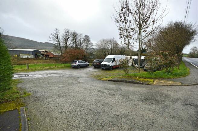
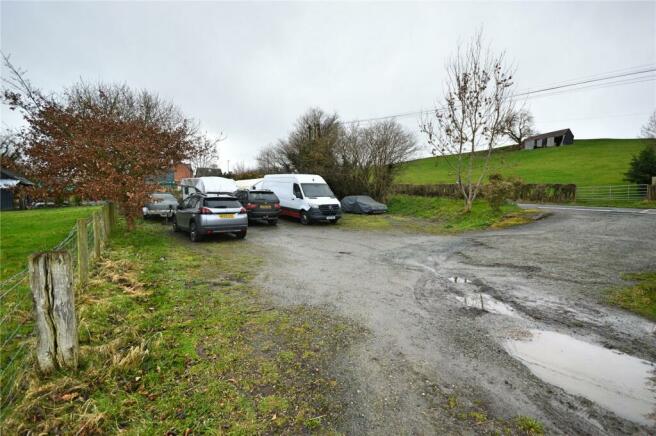
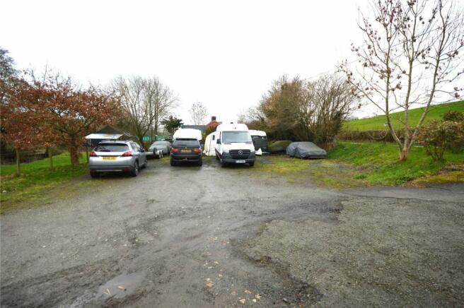
The site which extends to around 575 sq.m. (0.14 acres) is conveniently located with direct access off the A489 road that runs through the village.
Currently used for parking vehicles, the site has a double width entrance and is surfaced in hardcore for this purpose.
The land offers potential for a number of uses.
PLANNING
The land has potential for a number of uses subject to planning consent.
The local planning authority is Powys County Council, Planning Services, Neuadd Maldwyn, Severn Road, Welshpool, Powys, SY21 7AS.
Tel: . Email: planning.
SERVICES
Some services are located nearby.
Interested parties are advised to make their own enquiries regarding availability and connection.
TENURE
Freehold.
Note: The land is subject to a right of way in favour of the neighbouring land owner.
VIEWING
At any reasonable time.
Brochures
ParticularsLand Opposite Caebitra, Sarn, Newtown, Powys, SY16

NEAREST STATIONS
Distances are straight line measurements from the centre of the postcode- Newtown Station6.1 miles

Notes
Disclaimer - Property reference NEW240070. The information displayed about this property comprises a property advertisement. Rightmove.co.uk makes no warranty as to the accuracy or completeness of the advertisement or any linked or associated information, and Rightmove has no control over the content. This property advertisement does not constitute property particulars. The information is provided and maintained by Morris Marshall & Poole, Newtown. Please contact the selling agent or developer directly to obtain any information which may be available under the terms of The Energy Performance of Buildings (Certificates and Inspections) (England and Wales) Regulations 2007 or the Home Report if in relation to a residential property in Scotland.
Map data ©OpenStreetMap contributors.