Off Dark Lane, Higher Whitley, WA4

- PROPERTY TYPE
Land
- SIZE
337,879 sq ft
31,390 sq m
Key features
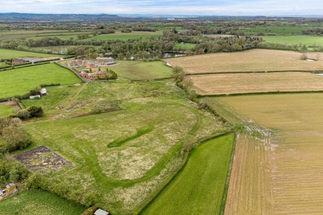
- An excellent 7.75 acre parcel of land with dilapidated stable timber stable yard
- Super rural position, tucked away off Dark Lane
- Convenient location about 5 minutes from the M56 at Junction 10
- Expired planning consent for a new L shaped yard - 16/04980/FUL
Description
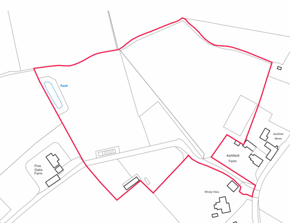
An excellent opportunity to acquire a large flat parcel of land extending to about 7.75 acres or thereabouts, situated in a sought after and picturesque rural location, tucked away at the end of a long, wide driveway off Dark Lane. The existing stable yard benefitted from planning consent to replace into a modern L shaped yard in 2016, but this has since expired.
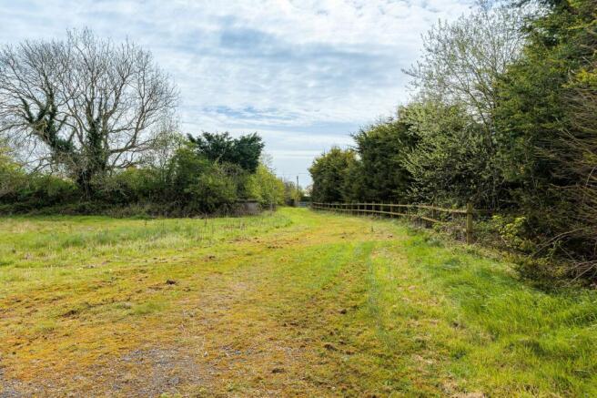
The access is private, with a five bar gate and a long driveway leading to the land, which has a former outdoor arena, several paddock areas, and the useful former stable yard (now dilapidated) has excellent scope, subject to planning permission for either equestrian or perhaps other uses.
Brochures
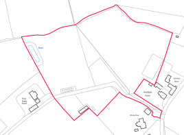
Title planOff Dark Lane, Higher Whitley, WA4

NEAREST STATIONS
Distances are straight line measurements from the centre of the postcode- Acton Bridge Station3.7 miles
- Runcorn East Station3.6 miles
- Greenbank Station5.0 miles
About Stuart Rushton & Co, Knutsford
35 King Street, Knutsford, Cheshire, WA16 6DW


Notes
Disclaimer - Property reference 7d56083f-e29c-4cad-bf4b-d00d95e8545c. The information displayed about this property comprises a property advertisement. Rightmove.co.uk makes no warranty as to the accuracy or completeness of the advertisement or any linked or associated information, and Rightmove has no control over the content. This property advertisement does not constitute property particulars. The information is provided and maintained by Stuart Rushton & Co, Knutsford. Please contact the selling agent or developer directly to obtain any information which may be available under the terms of The Energy Performance of Buildings (Certificates and Inspections) (England and Wales) Regulations 2007 or the Home Report if in relation to a residential property in Scotland.
Map data ©OpenStreetMap contributors.