
Land At Bay Horse Road, Quernmore, Lancaster

- PROPERTY TYPE
Land
- SIZE
140,263 sq ft
13,031 sq m
Key features
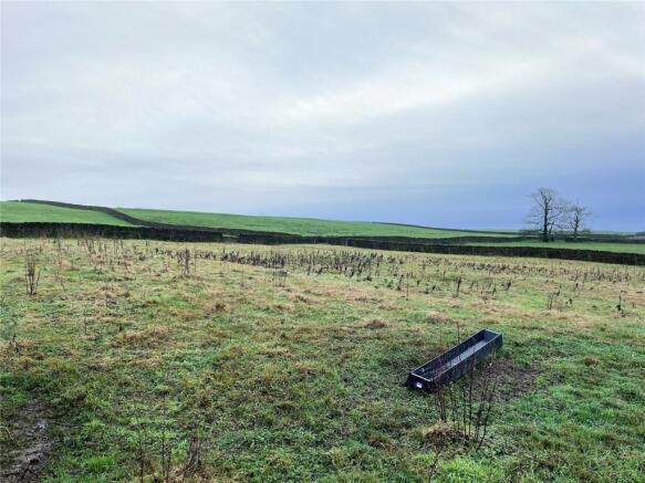
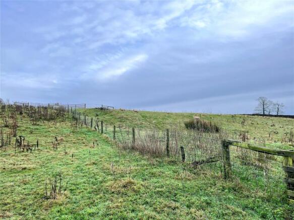
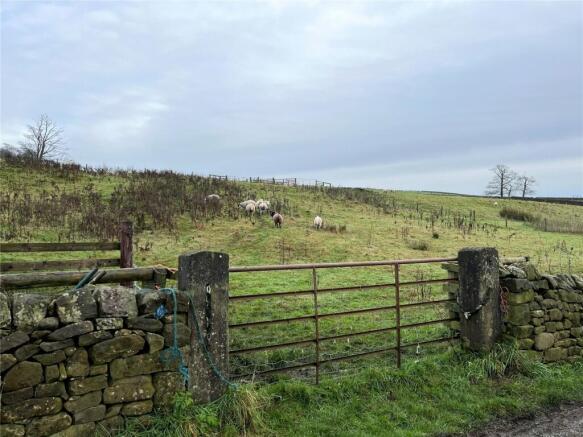
- 3.219 Acres / 1.303 Hectares ota of Grade 4 Permanent Grassland
- Roadside frontage and access off Bay Horse Road
- Separated into four stockproof paddocks
- Natural watering by pond
- Well fenced
- Sold by Private Treaty
- Vacant possession upon completion
Description
The land is split into four paddocks, each well fenced with post and wire stock fencing and accessed by a galvanised gate. The property also includes a pond (as pictured) offering natural watering.The land is classified at Grade 4 under the Agricultural Land Classification Maps consisting of loamy soil best suited to grassland. The land is currently used for the grazing of sheep.
The land is encompassed in dry stone wall and post and rail fencing with the boundary responsibility marked by an inward facing T on the site plan.
The property is superbly located with roadside frontage and access off Bay Horse Road providing easy access into Lancaster and Garstang.
The property will appeal to a number of purchasers with interest from agricultural, equestrian and amenity purchasers.
The property is sold with vacant possession upon completion.
Brochures
ParticularsLand At Bay Horse Road, Quernmore, Lancaster

NEAREST STATIONS
Distances are straight line measurements from the centre of the postcode- Lancaster Station3.4 miles
- Bare Lane Station5.4 miles

About Armitstead Barnett, Covering Lancashire and Cumbria
Market Place, Garstang, PR3 1ZA


Notes
Disclaimer - Property reference GAR240548. The information displayed about this property comprises a property advertisement. Rightmove.co.uk makes no warranty as to the accuracy or completeness of the advertisement or any linked or associated information, and Rightmove has no control over the content. This property advertisement does not constitute property particulars. The information is provided and maintained by Armitstead Barnett, Covering Lancashire and Cumbria. Please contact the selling agent or developer directly to obtain any information which may be available under the terms of The Energy Performance of Buildings (Certificates and Inspections) (England and Wales) Regulations 2007 or the Home Report if in relation to a residential property in Scotland.
Map data ©OpenStreetMap contributors.