fREEHOLD Former Ravensbury Terrace, London, SW18
Letting details
- Let available date:
- Ask agent
- Let type:
- Long term
- Furnish type:
- Unfurnished
- PROPERTY TYPE
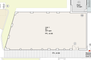
Office
- SIZE
Ask agent
Key features
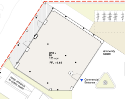
- Class E office suites For Sale.
- Available March 2026
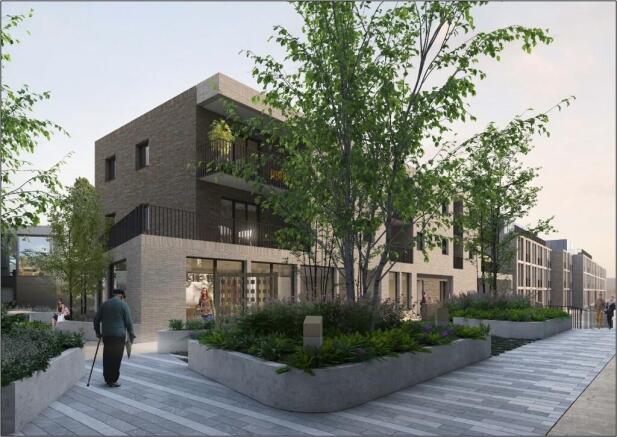
- New mixed use development
- Pre construction
Description
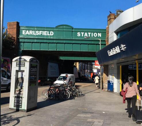
Earlsfield Station is within 5 minutes walk, with mainline trains to London Waterloo (13 mins), Vauxhall (9 mins) and Wimbledon (3 mins), all providing connecting London Underground services. Kingston Station is also 16 mins by train.
This new development is moments from the Cycle Super Highway and the proposed Q4, Quietway 4, cycle route. In addition, there are proposals for a direct bridge to Earlsfield over the River Wandle.
The scheme is well positioned within local road networks and provides easy access into Central London and to the A3 out to Surrey and beyond.
Brochures
Brochure 1fREEHOLD Former Ravensbury Terrace, London, SW18

NEAREST STATIONS
Distances are straight line measurements from the centre of the postcode- Earlsfield Station0.2 miles
- Wimbledon Park Station0.6 miles
- Southfields Station0.8 miles
About andrew scott robertson, Wimbledon Village Commercial
24 High Street Wimbledon, London, SW19 5DX
Notes
Disclaimer - Property reference FormerRufusBusinessCentreFREEHOLD. The information displayed about this property comprises a property advertisement. Rightmove.co.uk makes no warranty as to the accuracy or completeness of the advertisement or any linked or associated information, and Rightmove has no control over the content. This property advertisement does not constitute property particulars. The information is provided and maintained by andrew scott robertson, Wimbledon Village Commercial. Please contact the selling agent or developer directly to obtain any information which may be available under the terms of The Energy Performance of Buildings (Certificates and Inspections) (England and Wales) Regulations 2007 or the Home Report if in relation to a residential property in Scotland.
Map data ©OpenStreetMap contributors.