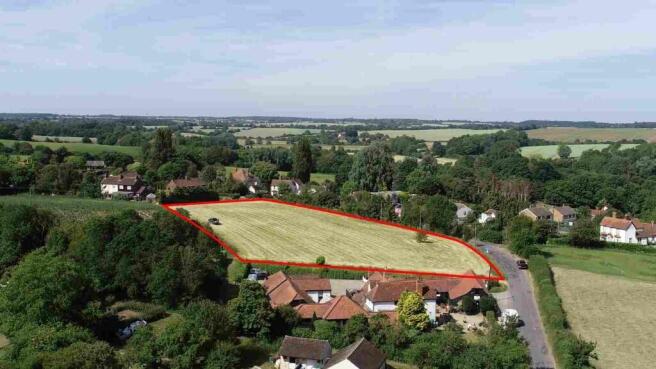
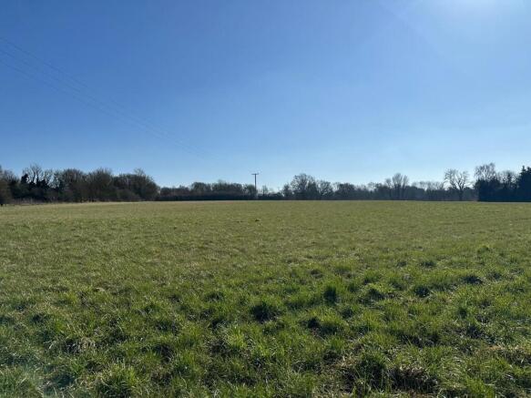
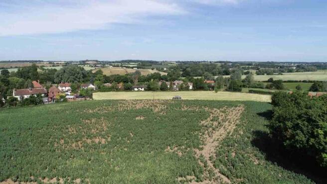
Land East of Monk Street, Thaxted
£11.79 per sq ft
Business rates & charges may apply

- SIZE AVAILABLE
95,396 sq ft
8,863 sq m
- SECTOR
Land for sale
Key features
- Outline planning permission granted for 6 dwellings
- Disposal method: private treaty
- 1.5 miles south of the historic town of Thaxted
- Less than 5 miles north of Great Dunmow
- Less than 6 miles from the A120, which provides access to the M11 to the west.
Description
The land is well contained, with the exception of the eastern boundary, which is retained land. It is bounded by Monk Street to the north/west, from which access will be taken; a pub/hotel to the north/east; and residential properties to the south.
Brochures
Land East of Monk Street, Thaxted

NEAREST STATIONS
Distances are straight line measurements from the centre of the postcode- Stansted Airport Station4.8 miles
- Elsenham Station5.1 miles
About Ceres Property LLP, Saffron Walden
Ceres Property, Council Offices, London Road, Saffron Walden, CB11 4ERNotes
Disclaimer - Property reference MonkStreet. The information displayed about this property comprises a property advertisement. Rightmove.co.uk makes no warranty as to the accuracy or completeness of the advertisement or any linked or associated information, and Rightmove has no control over the content. This property advertisement does not constitute property particulars. The information is provided and maintained by Ceres Property LLP, Saffron Walden. Please contact the selling agent or developer directly to obtain any information which may be available under the terms of The Energy Performance of Buildings (Certificates and Inspections) (England and Wales) Regulations 2007 or the Home Report if in relation to a residential property in Scotland.
Map data ©OpenStreetMap contributors.