Hartington, Buxton

- PROPERTY TYPE
Land
- SIZE
228,254 sq ft
21,206 sq m
Key features
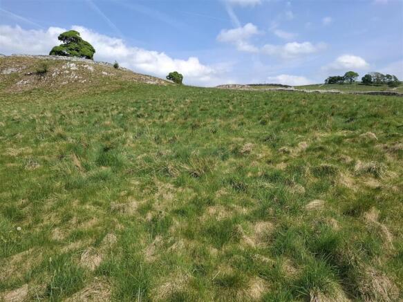
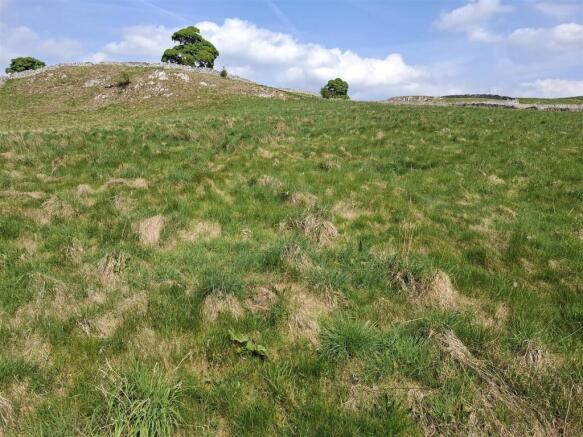
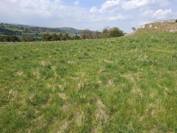
- 5.24 Acres or thereabouts
- Sound Block of Grassland Suitable for Grazing
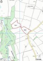
- Access Along Reynards Lane
Description
The land will be of interest to adjoining or nearby farmers or those looking for a block of land in it's own right.
Directions - From our Leek office, take the A53 towards Buxton and after approximately 1 mile, turn right onto Thorncliffe Road, contiune for approximately 3.5 miles. At the ‘Mermaid Inn’ Holiday Apartment, turn right and continue for approximately 2.5 miles continuing onto Leek Road. At the junction turn left onto the B5053, then take the second right onto the B5054 towards Hartington. Continue past the ‘Manifold Inn’ Public House, until reaching Hartington village. The right onto Hall Bank and take the first right onto Reynards Lane that run towards Wolfscote Grange, follow this lane for approximately 1.5 miles, the land will be situated on the right hand side identified by one of the Agents ‘For Sale’ signs.
What 3 Words - ///sharpen.civil.pigtails
Please Download The Attached Brochure -
Brochures
Particulars - Land at Reynards Lane, Hartington.pdHartington, Buxton

NEAREST STATIONS
Distances are straight line measurements from the centre of the postcode- Buxton Station10.2 miles


Notes
Disclaimer - Property reference 33876091. The information displayed about this property comprises a property advertisement. Rightmove.co.uk makes no warranty as to the accuracy or completeness of the advertisement or any linked or associated information, and Rightmove has no control over the content. This property advertisement does not constitute property particulars. The information is provided and maintained by Graham Watkins, Leek. Please contact the selling agent or developer directly to obtain any information which may be available under the terms of The Energy Performance of Buildings (Certificates and Inspections) (England and Wales) Regulations 2007 or the Home Report if in relation to a residential property in Scotland.
Map data ©OpenStreetMap contributors.