
Knyghton Close, Slapton
- PROPERTY TYPE
Land
- SIZE
230,868 sq ft
21,448 sq m
Description
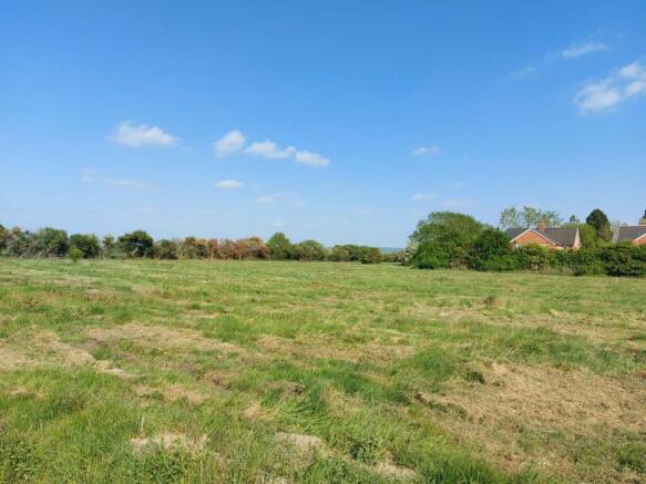
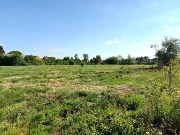
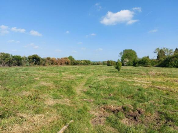
• Broadly flat pasture that has not been in recent use.
• Submitted to Bucks Call for Sites.
• Metered mains water supply
• Good vehicular access through church carpark
• No overage or uplift covenant
The land has a metered mains water supply and overhead power lines are close by, but an intending purchaser should make their own enquires as to suitability for a supply.
The historic grade II 800-year-old church overlooks the site, which also adjoins multiple residential dwellings.
Car Park. Access is through a small car park, which is let on a 99 year lease from 2015 to the Parish Council for £1 per annum.
The site is crossed by two footpaths. The land has laid fallow over recent years.
There are no subsidies or Government schemes relating to the land.
Viewing in daylight hours with a copy of these sales particulars. Access via footpath through the Churchyard.
What3words location: ///forces.steep.length
For sale by sealed bids, closing date Monday 23rd June 2025. The vendor reserves the right to sell prior to the closing date.
Brochures
ParticularsKnyghton Close, Slapton

NEAREST STATIONS
Distances are straight line measurements from the centre of the postcode- Cheddington Station1.6 miles
- Leighton Buzzard Station3.1 miles

About The Wilkinson Partnership, Winslow
12 Market Square, Winslow, Buckinghamshire, MK18 3AF

Notes
Disclaimer - Property reference LNH230009. The information displayed about this property comprises a property advertisement. Rightmove.co.uk makes no warranty as to the accuracy or completeness of the advertisement or any linked or associated information, and Rightmove has no control over the content. This property advertisement does not constitute property particulars. The information is provided and maintained by The Wilkinson Partnership, Winslow. Please contact the selling agent or developer directly to obtain any information which may be available under the terms of The Energy Performance of Buildings (Certificates and Inspections) (England and Wales) Regulations 2007 or the Home Report if in relation to a residential property in Scotland.
Map data ©OpenStreetMap contributors.