

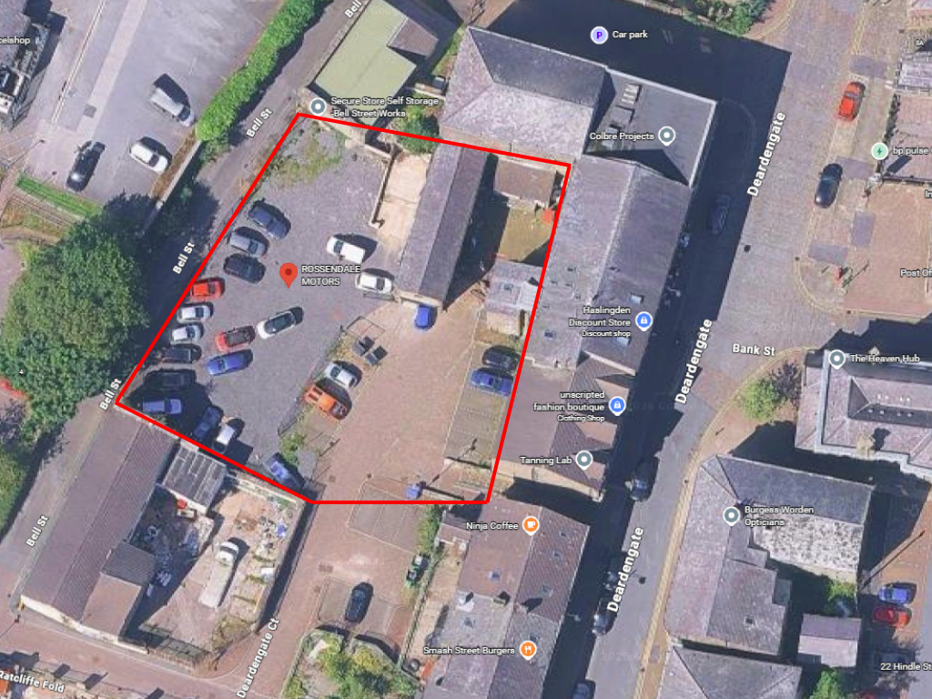
Investment Property at Bell Street, Rossendale (district Of), Lancashire, BB4
Size
2,250
Tenure
Ask agent
EPC
Ask agent
Parking
Ask agent
- Primary use
- Light industrial
Key features
- Income-producing investment property
- Established tenant in occupation
- High-yield opportunity
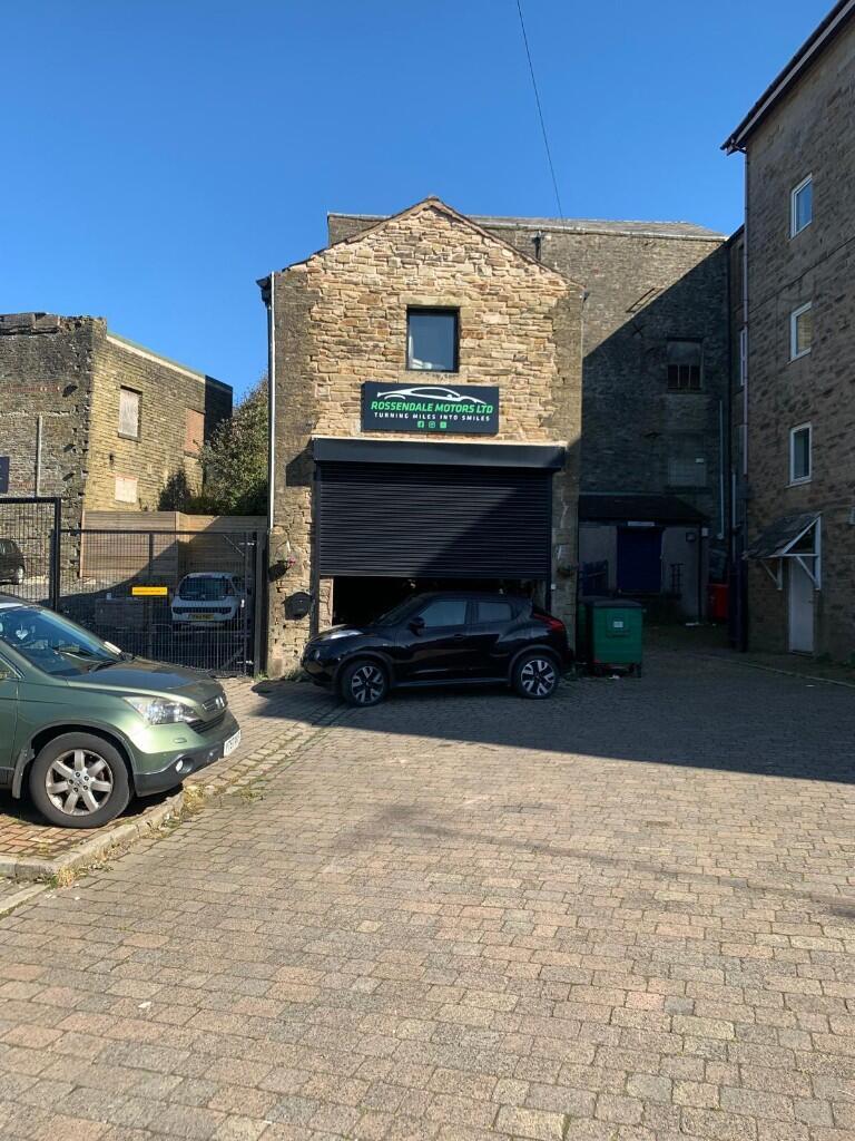
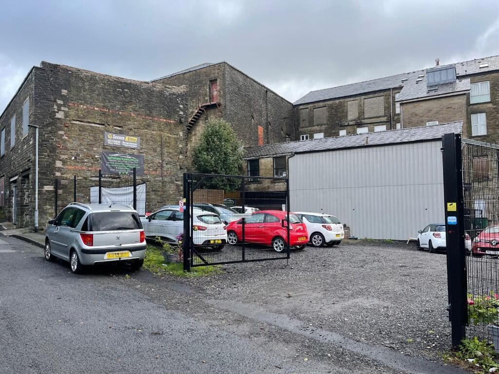
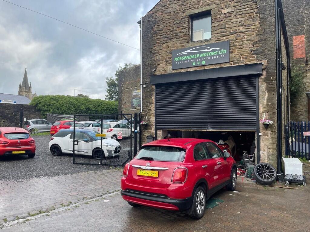
- Newly refurbished, self-contained industrial unit
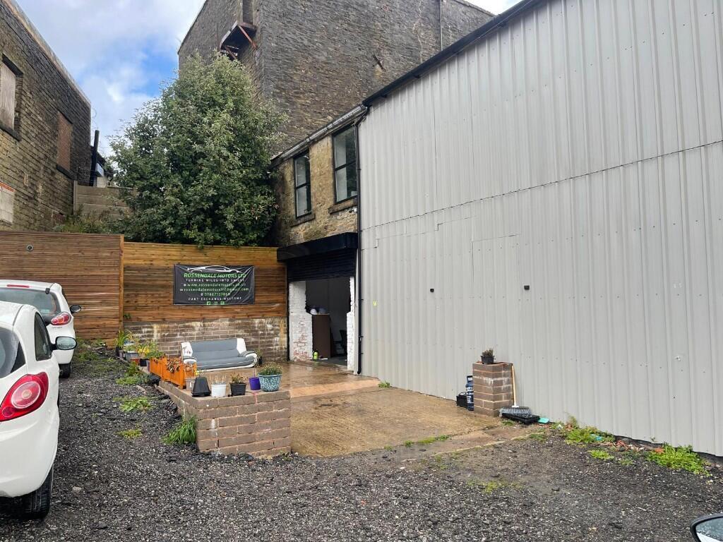
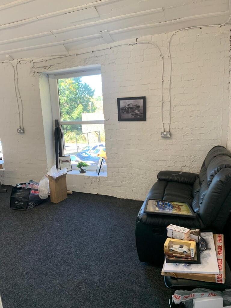
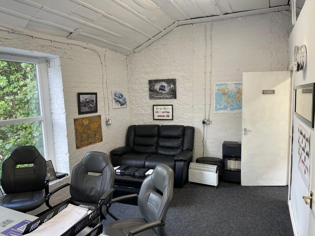
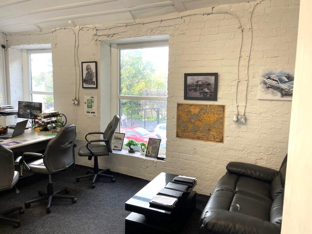
- 500 sq ft of modern offices over two floors
- 2,250 sq ft industrial accommodation
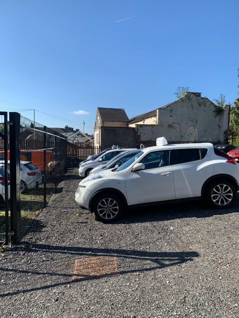
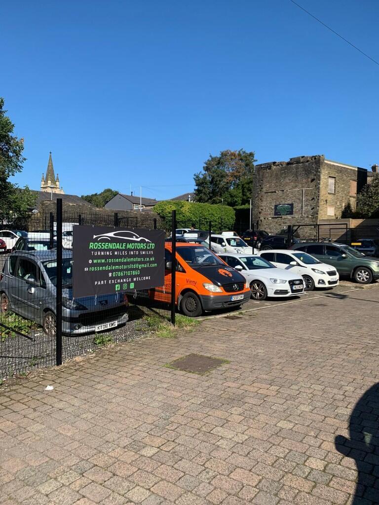
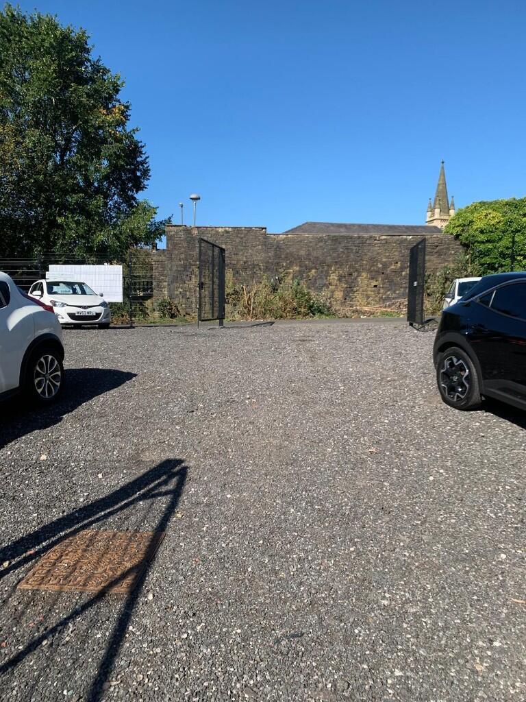
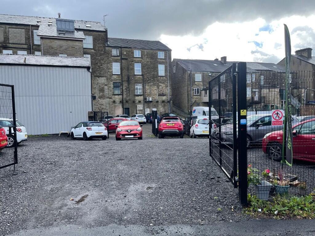
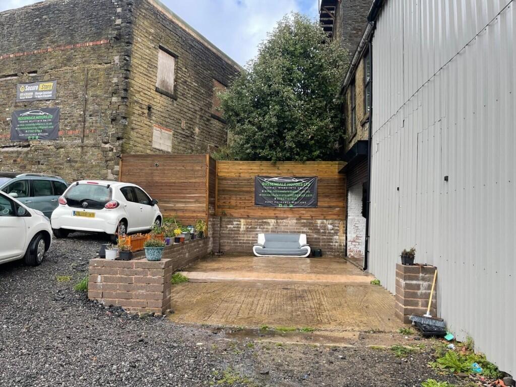
- 1,750 sq ft secure yard with gated access
- Excellent vehicle access and turning area
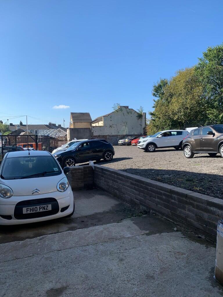
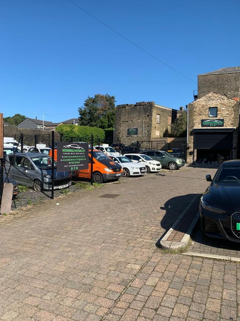
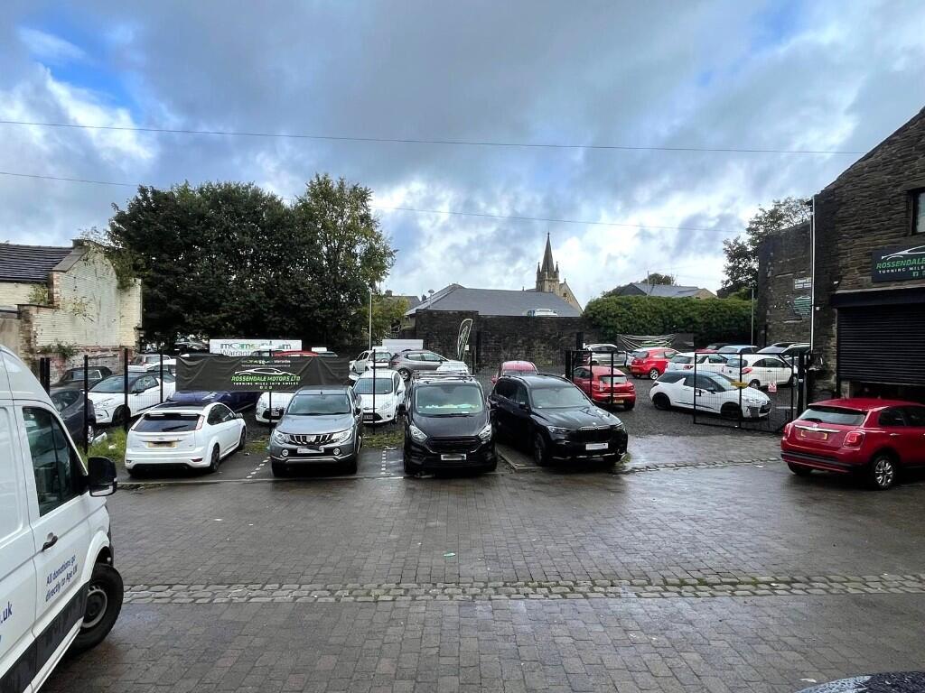
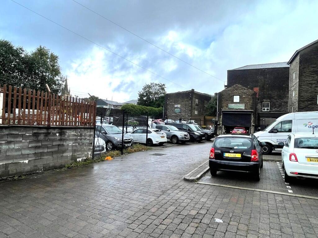
- Ample on-site car parking
- Well-connected town centre location
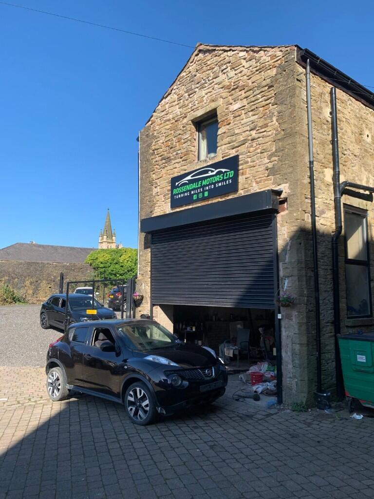
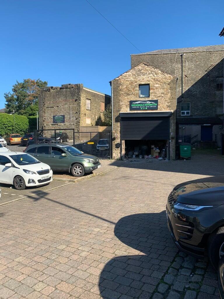
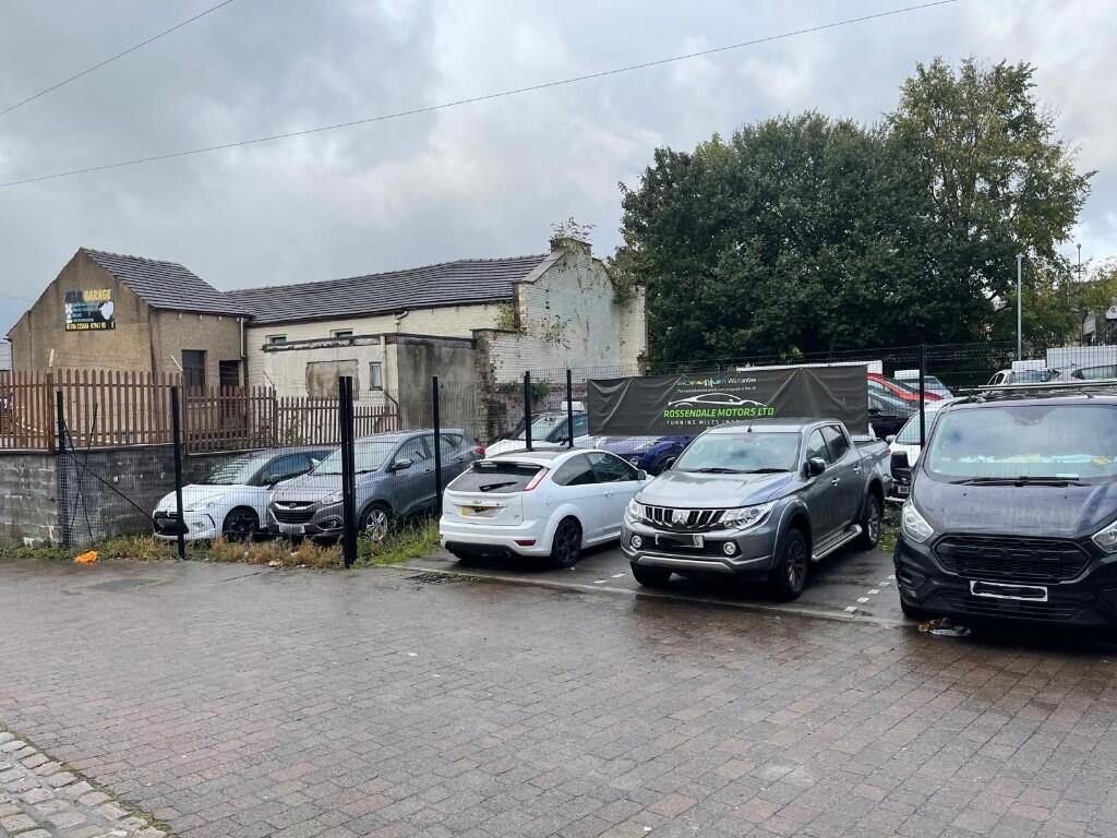
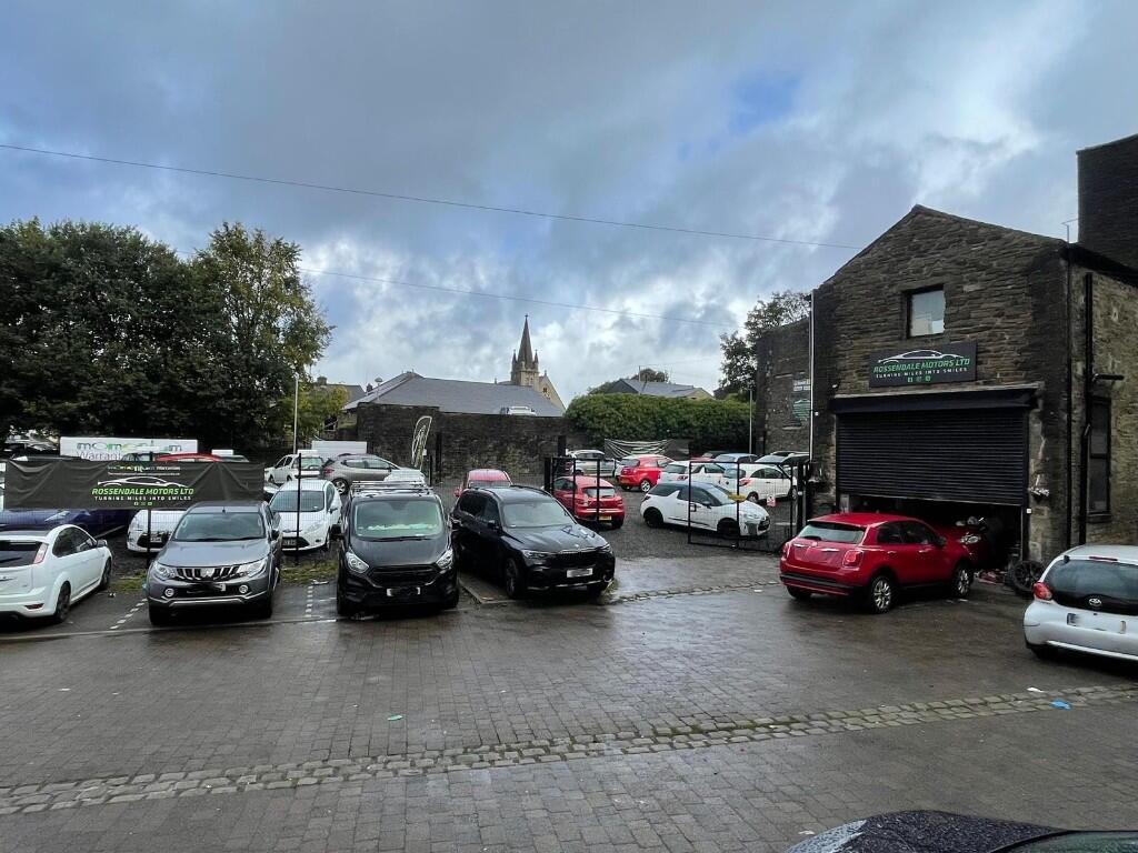
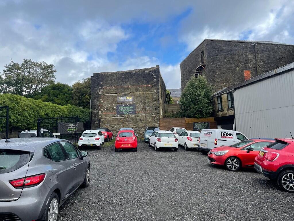
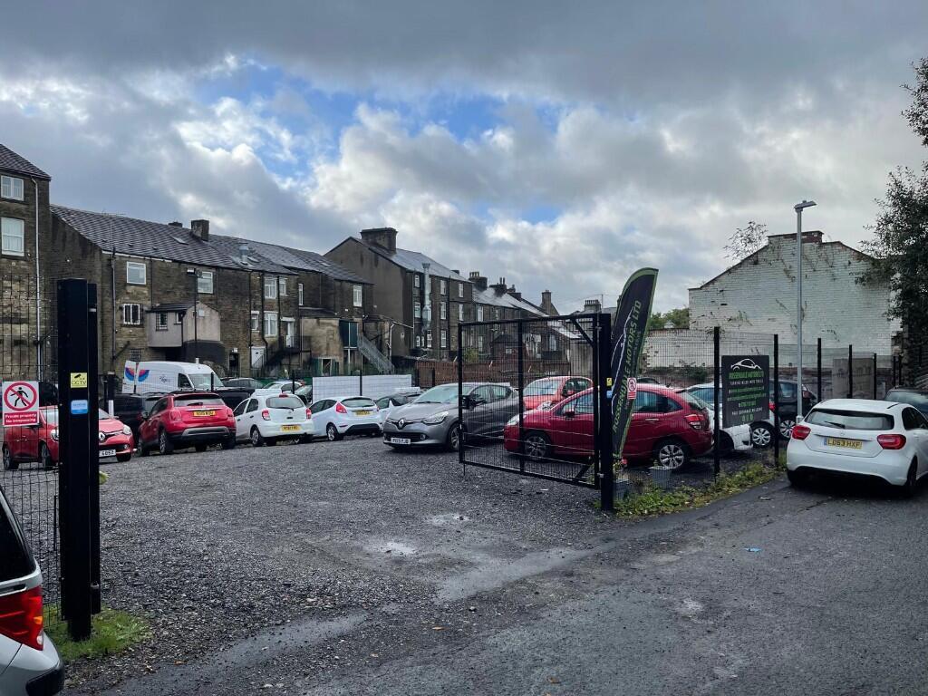
Description
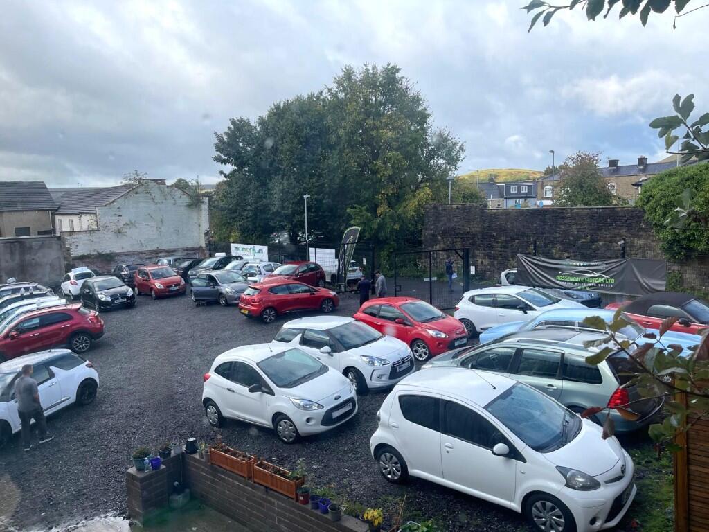
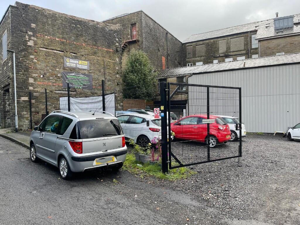
The industrial accommodation extends to approximately 2,250 sq ft and is complemented by a substantial secure yard of approximately 1,750 sq ft, offering excellent outdoor working space, storage and vehicle access with generous turning and manoeuvring areas. The site benefits from a gated entrance and ample on-site car parking, enhancing both security and operational efficiency.
The property is fully income producing, with an established tenant in occupation, making it an attractive high-yield investment opportunity. Its town centre location, combined with strong transport connectivity and practical industrial features, underpins sustained occupier demand and long-term rental performance.
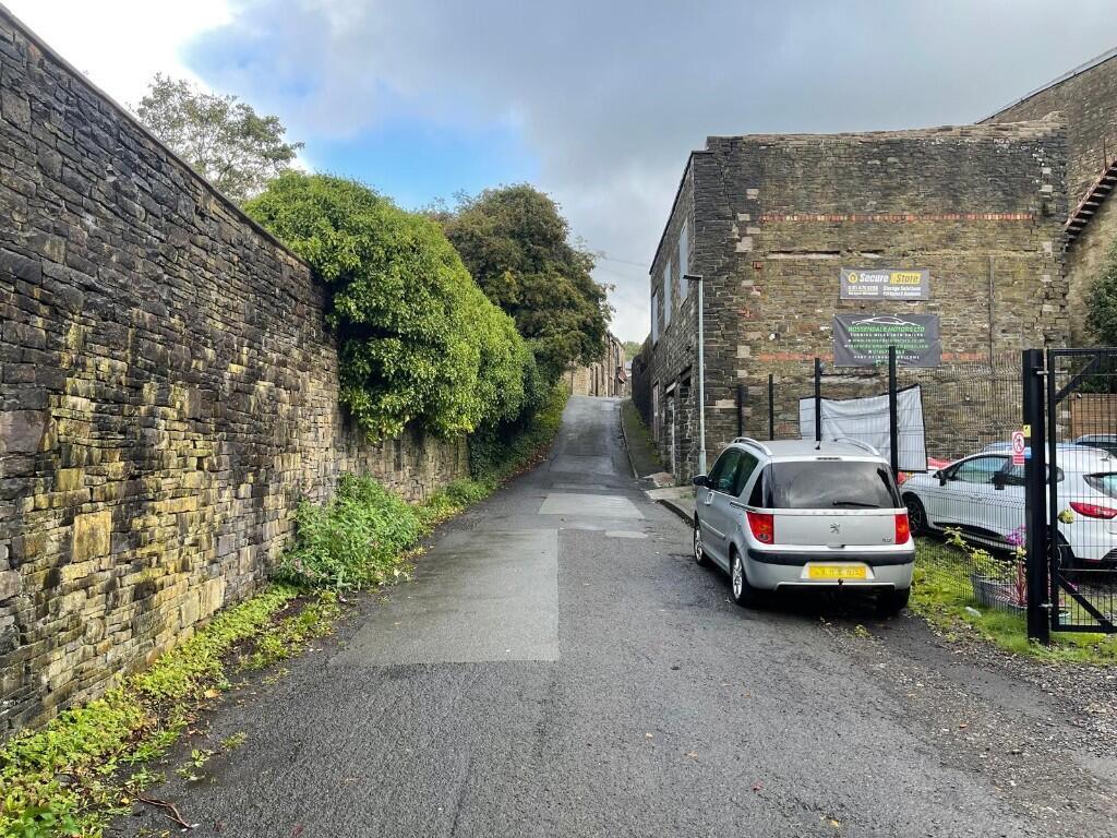
Situated on Bell Street, the property enjoys excellent access to the regional road network via the A56, with direct links to the M65 and M66 motorways, providing convenient routes to Blackburn, Burnley and Manchester. The location is well suited to industrial, trade, logistics and distribution occupiers, further reinforcing the investment credentials of the asset.
- Clear height
- Ask agent
- Yard depth
- Ask agent
- Service charge
- Ask agent
- Business rates
- Ask agent
- Use class
- Ask agent
- Listed building
- Ask agent
- Floors in building
- 2
An Energy Performance certificate helps you understand the current energy efficiency of a property.
Read more about EPC requirementsAsk agent
- BREEAM rating
- Ask agent
- Environmental description
- Ask agent
Brochure
Investment Property at Bell Street, Rossendale (district Of), Lancashire, BB4
About Citrus Commercial Circle, Manchester
Citrus Commercial Circle offer a unique and unrivalled approach to commercial property leasing, acquisitions and disposals by combining over 60 years of property management and trading experience, an expert and far-reaching team of RICS Chartered Surveyors and Valuers, and a bespoke personal service.
Our specialist property consultants, working closely with our associated chartered surveyors, provide unparalleled expertise across Greater Manchester and the North West region in areas such as:
- Office, Industrial, Land and Retail Agency
- Management
- Property Development and Finance
- Investment
- Valuation
Our working ethos, derived from a true desire to serve our clients’ interests, is to provide comprehensive property services for all. Whether you are an independent property owner, small business or sole trader, high-net-worth individual, well-established limited company or a large-scale PLC, we treat your interests as our own; we rest only once your property opportunities or investments are not only fulfilled, but maximised.
Our client base boasts a range of high-net-worth individuals, overseas investors, property PLCs and limited companies alike – built on our involvement in the purchase and sale of thousands of residential properties and advising on over £500 million worth of commercial acquisitions for major UK companies.
With such an extensive client base, our profound working relationships, associated chartered surveyors, and a multitude of shared ownership property services businesses, we consistently outperform other agents in providing property solutions: no enquiry is left unresolved, no opportunity is squandered, and value is added in every transaction.
Your search history
You have no recent searches
Disclaimer - Property reference BellSt. The information displayed about this property comprises a property advertisement. Rightmove.co.uk makes no warranty as to the accuracy or completeness of the advertisement or any linked or associated information, and Rightmove has no control over the content. This property advertisement does not constitute property particulars. The information is provided and maintained by Citrus Commercial Circle, Manchester. Please contact the selling agent or developer directly to obtain any information which may be available under the terms of The Energy Performance of Buildings (Certificates and Inspections) (England and Wales) Regulations 2007 or the Home Report if in relation to a residential property in Scotland.