St. Gabriels Road, London, NW2
£130.09 per sq ft
Business rates & charges may apply
- SIZE AVAILABLE
3,267 sq ft
304 sq m
- SECTOR
Residential development for sale
Key features
- Parcel of land with potential for construction of a new house (STPP)
- Outstanding location in Brondesbury Park
- Site extends to 3267 square feet/303.5 square metres
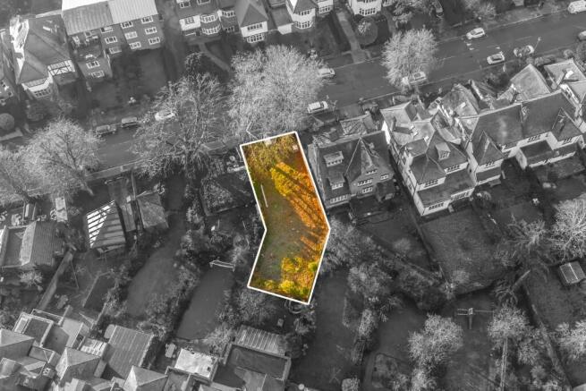
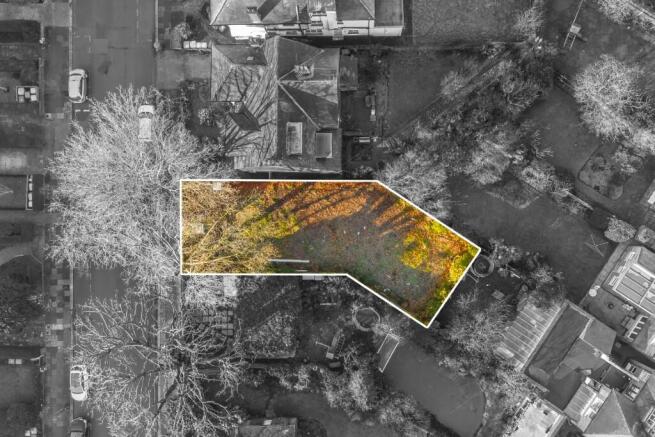
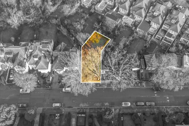
- Plot fronts directly on to St. Gabriels Road
Description
The property faces directly onto St. Gabriels Road and is in a "dog-leg" shape. The plot of land offers the potential to build a new property subject to the necessary planning consents.
St. Gabriels Road is a quiet, broad tree lined street and offers easy access to multiple transport facilities.
Planning Application Number: 24/0243 was refused by Brent Council on the 25th of March 2024 for the proposed erection of a single family dwellinghouse on the land next to 64 St Gabriels Road with associated landscaping, amenity space and refuse/recycle storage.
An appeal was opened against this ruling which was further dismissed by Brent Council on the 1st May 2025.
Tenure - Freehold HM Land Registry Title Number NGL876840.
St. Gabriels Road, London, NW2

NEAREST STATIONS
Distances are straight line measurements from the centre of the postcode- Willesden Green Station0.4 miles
- Cricklewood Station0.5 miles
- Kilburn Station0.5 miles
About Dexters Development & Investment, North London
Dexters Maida Vale, 298 Elgin Avenue, London, W9 1JSNotes
Disclaimer - Property reference StGabrielsRoad. The information displayed about this property comprises a property advertisement. Rightmove.co.uk makes no warranty as to the accuracy or completeness of the advertisement or any linked or associated information, and Rightmove has no control over the content. This property advertisement does not constitute property particulars. The information is provided and maintained by Dexters Development & Investment, North London. Please contact the selling agent or developer directly to obtain any information which may be available under the terms of The Energy Performance of Buildings (Certificates and Inspections) (England and Wales) Regulations 2007 or the Home Report if in relation to a residential property in Scotland.
Map data ©OpenStreetMap contributors.