Land at Park Hall, Church Eaton
- PROPERTY TYPE
Land
- SIZE
Ask agent
Description
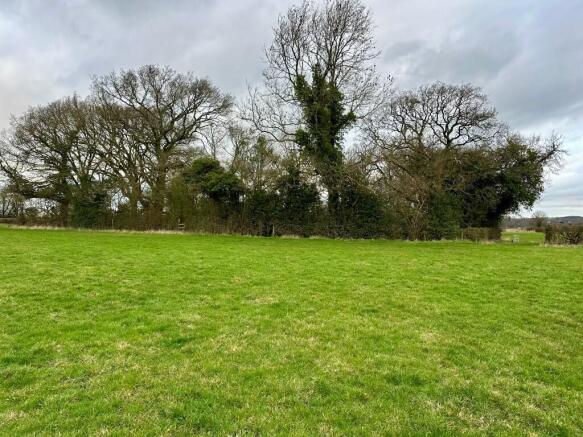
Positioned centrally between the fields is a substantial pond, surrounded by mature trees which create an appealing natural feature and provides a haven for a wide variety of wildlife. The combination of open grassland, established trees and water attracts a rich diversity of birds and other wildlife, adding to the amenity and environmental value of the land.
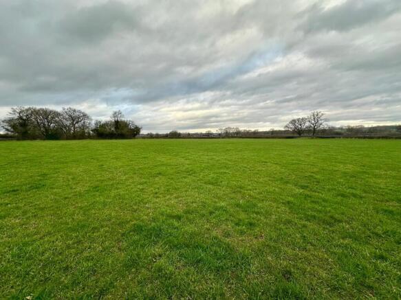
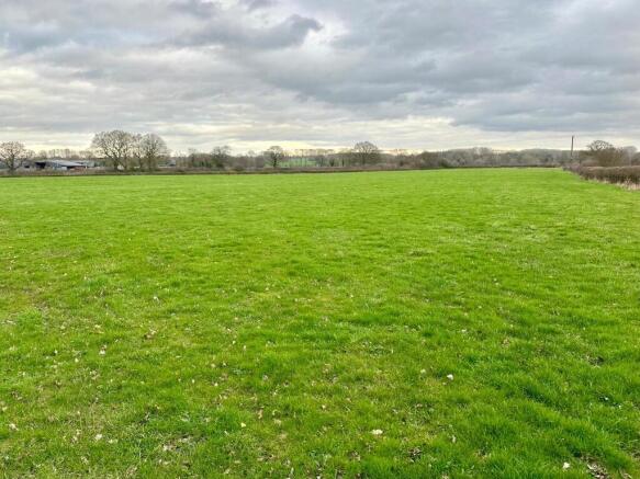
The land is classified as Grade 3 agricultural land and lies within a Nitrate Vulnerable Zone (NVZ). The fields are enclosed by mature hedgerows, forming well-defined boundaries and providing natural shelter for livestock. The land is well suited to grazing and general agricultural use, while also offering potential for amenity, conservation or recreational purposes.
Development Clawback
The land is sold subject to a development clawback. In the event that planning permission is granted for any kind of use over agricultural and equestrian within the next 25 years then the sellers or their heirs will be entitled to 25% of the increase in value.
For further information please download the full sales details.
Brochures
sales detailsplanLand at Park Hall, Church Eaton

NEAREST STATIONS
Distances are straight line measurements from the centre of the postcode- Penkridge Station4.7 miles
- Stafford Station5.8 miles
About Barbers Rural Consultancy LLP, Market Drayton
Smithfield House Smithfield Road Market Drayton TF9 1EWNotes
Disclaimer - Property reference 15223. The information displayed about this property comprises a property advertisement. Rightmove.co.uk makes no warranty as to the accuracy or completeness of the advertisement or any linked or associated information, and Rightmove has no control over the content. This property advertisement does not constitute property particulars. The information is provided and maintained by Barbers Rural Consultancy LLP, Market Drayton. Please contact the selling agent or developer directly to obtain any information which may be available under the terms of The Energy Performance of Buildings (Certificates and Inspections) (England and Wales) Regulations 2007 or the Home Report if in relation to a residential property in Scotland.
Map data ©OpenStreetMap contributors.