Commercial Properties For Sale in Hempsted, Gloucester, Gloucestershire
Paid partnerships can play a role in listing order
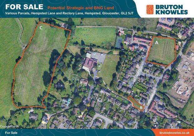
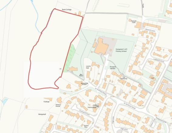
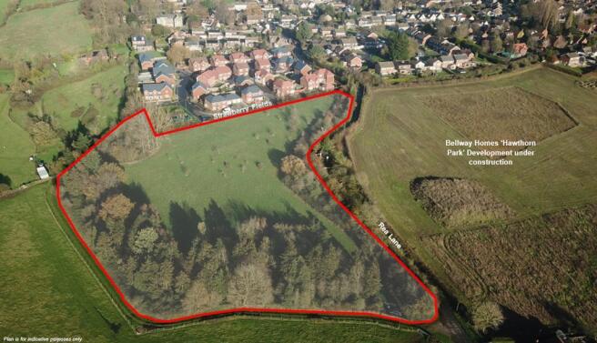
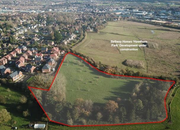
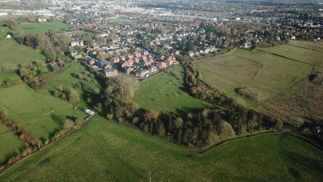
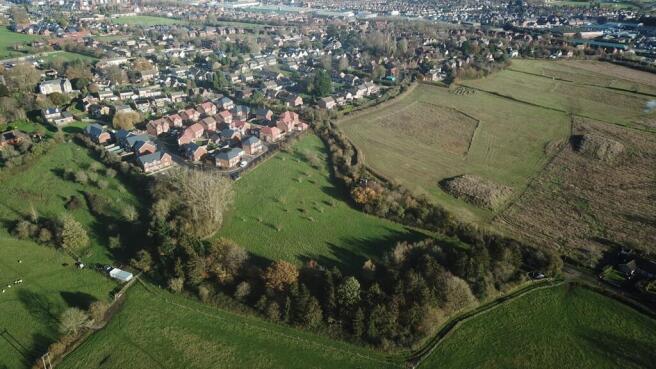
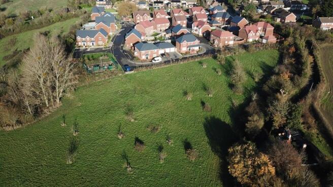
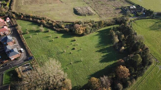
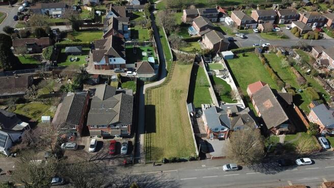
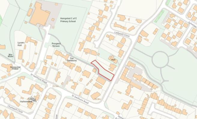
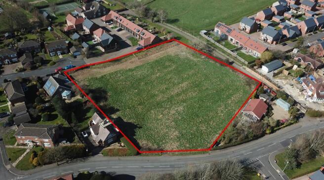
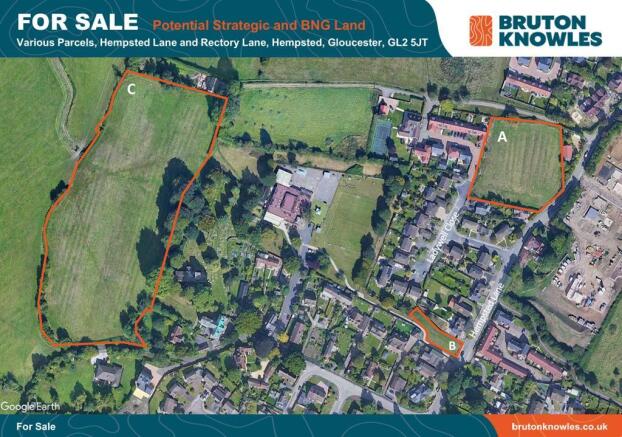
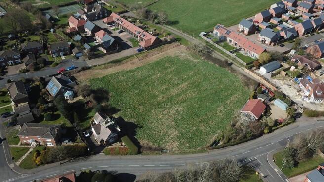
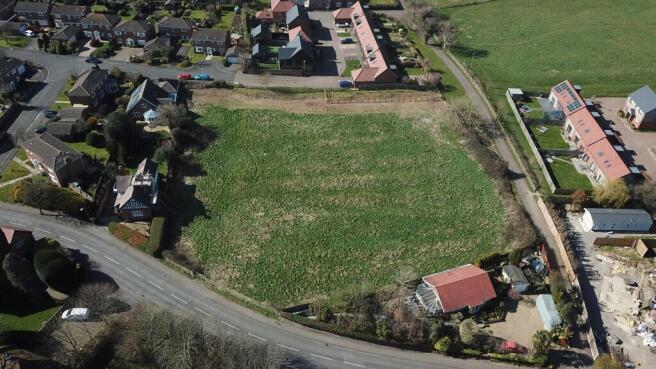
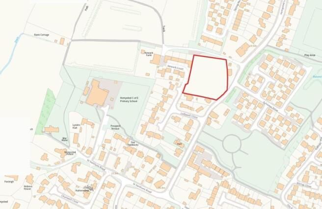
The site extends to approximately 4.33 acres (1.75 hectares) and comprises a parcel of pasture land which slopes downhill from the residential scheme to the north, to a lower lying southern woodland area within Flood Zones 2/3. Access to the site is currently provided two entrances, one of which is via a retained access through the Strawberry Fields development to the north and the other is via an agricultural gateway off Rea Lane to the south of the site. According to the Environment Agency's Flood Map for Planning, the lower parts of the site are located within Flood Zones 2/3.
- Development/BNG Land
- The site extends to approximately 4.33 acres (1.75 hectares)
- The vendors will consider offers for : - Unconditional freehold sale - Unconditional freehold + uplift - Conditional (subject to planning)
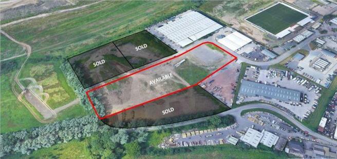
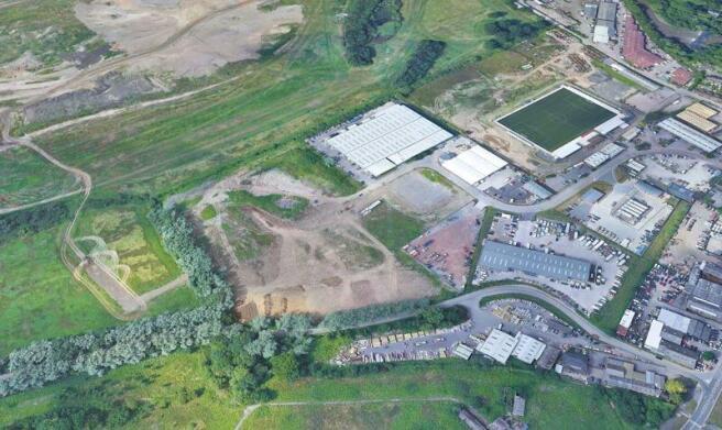
The site benefits from two vehicular access points off the A430 south west bypass, one of these being a traffic light controlled junction, with a further access road recently installed into the sold plots. Originally greenfield land, the site levels have been raised by filling with granular material. A tarmacadam road runs along the northern edge of the site within the site boundary. The road has been constructed to Highways Authority 'adoptable standards'. Gloucester is the County Town of Gloucestershire with a population of circa 136,000 (2001 census). The City has a long and well established manufacturing tradition particularly for aerospace related industries and benefits from a strategic location adjacent to the M5 Motorway between Birmingham to the north and Bristol to the south. Spinnaker Park is located on the south western edge of the City with convenient access to both the City Centre, the local road network and the M5 Motorway. The site is directly located off the A430 south western bypass. The local area is predominantly a mix of commercial uses and over recent years has seen considerable investment and redevelopment, including a new campus for Gloucestershire College, a Sainsbury's supermarket and the recently completed Gloucester Quays Retail Outlet Centre. A Marston's pub/restaurant is currently under construction and further developments are planned.

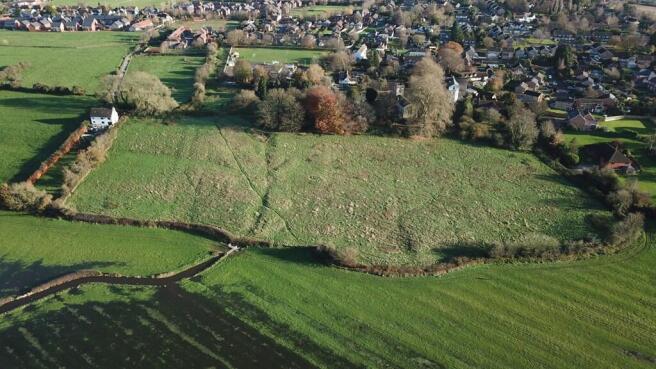
The site extends to approximately 4.33 acres (1.75 hectares) and comprises a parcel of pasture land which slopes downhill from the residential scheme to the north, to a lower lying southern woodland area within Flood Zones 2/3. Access to the site is currently provided two entrances, one of which is via a retained access through the Strawberry Fields development to the north and the other is via an agricultural gateway off Rea Lane to the south of the site. According to the Environment Agency's Flood Map for Planning, the lower parts of the site are located within Flood Zones 2/3.