
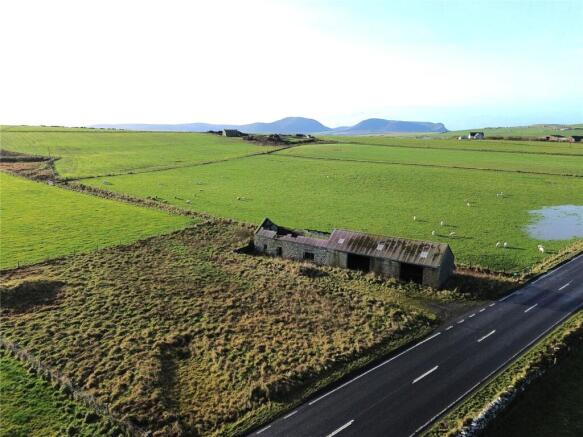
Farm Building Near Nether Onston, Stenness, Orkney
- PROPERTY TYPE
Land
- SIZE
18,299 sq ft
1,700 sq m
Description
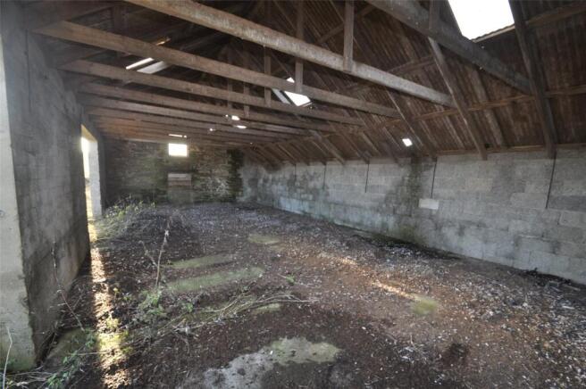
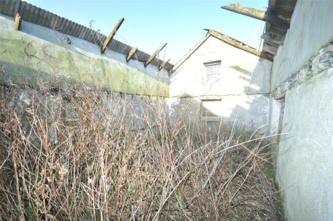
The stone-built building may have architectural and/or historic merit, and the integrity of this building must be retained as part of the building process so the siting of any new house to the east of the outbuildings would be an advantage. Depending on the plans submitted, it may be possible that a second house could also be built at Nether Onston. Nether Onston is within the Hoy and West Mainland Scenic Area and the Inner Sensitive Zone of the Heart of Neolithic Orkney World Heritage Site, and a high quality of design will be required.
The stone-built building extends to 10.9m x 4.4m approx. and the adjoining former store 13.5m x 6.2m approx..
Prospective purchasers should note that as part of the planning application, an initial archaeological evaluation will be required. Depending on the nature of the proposed development of the site further evaluations may be required, the purchaser will be responsible for the evaluations.
The purchasers will be liable for taking services to the site, mains water is believed to be close by.
Farm Building Near Nether Onston, Stenness, Orkney

NEAREST STATIONS
Distances are straight line measurements from the centre of the postcode- Thurso Station29.3 miles

Notes
Disclaimer - Property reference BRS230045. The information displayed about this property comprises a property advertisement. Rightmove.co.uk makes no warranty as to the accuracy or completeness of the advertisement or any linked or associated information, and Rightmove has no control over the content. This property advertisement does not constitute property particulars. The information is provided and maintained by Lows Solicitors, Orkney. Please contact the selling agent or developer directly to obtain any information which may be available under the terms of The Energy Performance of Buildings (Certificates and Inspections) (England and Wales) Regulations 2007 or the Home Report if in relation to a residential property in Scotland.