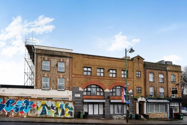
Norwood High Street, London, SE27
£503.65 per sq ft
Business rates & charges may apply

- SIZE AVAILABLE
7,942 sq ft
738 sq m
- SECTOR
Residential development for sale

Key features
- Freehold Title
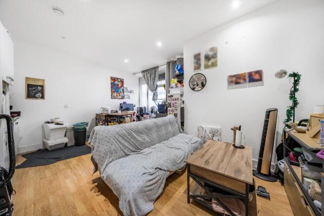
- Income Producing: All 18 flats are let and generating a substantial annual rental income of £243,144
- Good Condition: The flats are well-maintained and in good condition
- Central Location: Close to the main shopping and amenities of West Norwood and within short walk of the railway station
- Investor Interest: Strong appeal for residential-based income investment.
- Development Potential: Opportunity extension to increase value.
Description
Situated on Norwood High Street, towards the southern edge of the London Borough of Lambeth, approximately five miles south of Central London. West Norwood Railway Station is just 200 meters to the north-west, offering convenient direct routes into Central London.
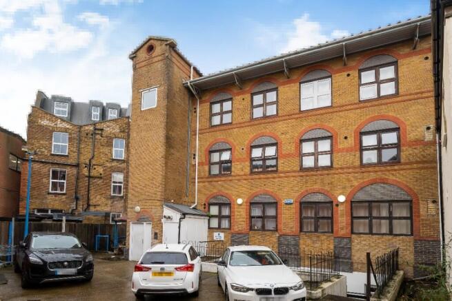
This mixed-use freehold property features a mid-terrace former office building which was converted in 2021 to provide, 18 Residential flats.
The building is arranged over a basement, ground, and two upper floors, with a rear yard and car park accessible from Langmead Street and a side gate.
Norwood High Street, London, SE27

NEAREST STATIONS
Distances are straight line measurements from the centre of the postcode- West Norwood Station0.1 miles
- Tulse Hill Station0.7 miles
- West Dulwich Station0.9 miles
About Foxtons Limited, London - Commercial
Building One, Chiswick Park, 566 Chiswick High Road, London W4 5BENotes
Disclaimer - Property reference DPH. The information displayed about this property comprises a property advertisement. Rightmove.co.uk makes no warranty as to the accuracy or completeness of the advertisement or any linked or associated information, and Rightmove has no control over the content. This property advertisement does not constitute property particulars. The information is provided and maintained by Foxtons Limited, London - Commercial. Please contact the selling agent or developer directly to obtain any information which may be available under the terms of The Energy Performance of Buildings (Certificates and Inspections) (England and Wales) Regulations 2007 or the Home Report if in relation to a residential property in Scotland.
Map data ©OpenStreetMap contributors.