
Rands Road, High Roding, CM6
- PROPERTY TYPE
Farm Land
- SIZE
Ask agent
Key features
- Cash Buyers Only
- Potential for Livestock uses
- Investment opportunity
- 0.43 acres (stls)
- Sought After Country Lane Location
Description
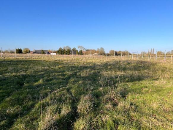
A secluded parcel of 0.43 acres (stls) of land with beautiful views over countryside
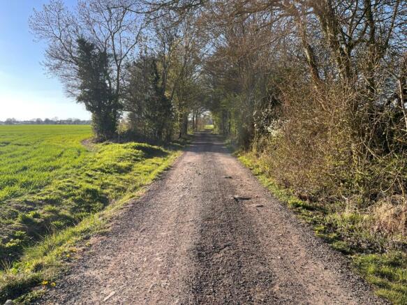
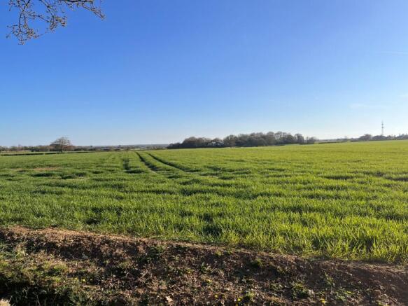
This parcel of 0.43 acres (stls) of agricultural land is located along Rands Road, a quiet, leafy, country lane situated off of the Dunmow Road in the charming village of High Roding. The grounds are by in large completely flat, well drained and laid to pasture with glorious views over the surrounding countryside.
Rands Road in High Roding is a highly sought after country lane situated approximately 4 miles to the south of Great Dunmow and just over 2 miles from the village of High Easter and 8 miles from Felsted School. The general area is affluent, dotted by attractive country houses and with great access into the countryside for dog walks and for bridleway and country lane hacking with Ashfields Carriage Driving & Polo Centre a short distance away.
Chelmsford City 13 miles, Bishops Stortford 14.6 miles, Stansted International Airport 8.9 miles.
Rands Road, High Roding, CM6

NEAREST STATIONS
Distances are straight line measurements from the centre of the postcode- Stansted Airport Station5.3 miles

Notes
Disclaimer - Property reference P1471. The information displayed about this property comprises a property advertisement. Rightmove.co.uk makes no warranty as to the accuracy or completeness of the advertisement or any linked or associated information, and Rightmove has no control over the content. This property advertisement does not constitute property particulars. The information is provided and maintained by Zoe Napier Collection, Essex & South Suffolk. Please contact the selling agent or developer directly to obtain any information which may be available under the terms of The Energy Performance of Buildings (Certificates and Inspections) (England and Wales) Regulations 2007 or the Home Report if in relation to a residential property in Scotland.
Map data ©OpenStreetMap contributors.