Land At Manor Farm, Daglingworth, Cirencester, Gloucestershire, GL7
- PROPERTY TYPE
Land
- SIZE
13,456,991 sq ft
1,250,196 sq m
Description
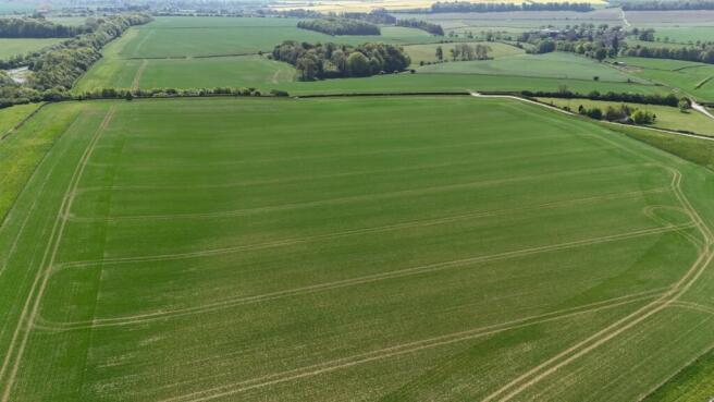
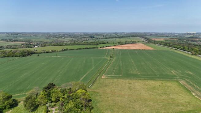
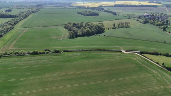
A rare opportunity to purchase an attractive parcel of arable farmland extending to about 298.90 acres (120.97 hectares) together with 3 woodland plantations extending to 10.03 acres (4.06 hectares) in all, available as a whole or in 2 Lots. Each lot lies within a ring fence and enjoys good vehicular access from the public highway from Dower’s Lane. From its highest point the Property enjoys extensive views across the adjoining Cotswolds landscape.
The land is reasonably level with a southerly aspect. It ranges between the 135 meter and 195 meter contours. The field boundaries mainly comprise Cotswold stone walls. The land is classified as grade 3 and is shown on the Soil Survey plan as lying within the Elmton 2 series, comprising productive loamy limestone soils. The land is currently planted with spring barley with grass headlands planted under an environmental scheme. A schedule of the last 5 year’s arable cropping is available.
Brochures
ParticularsLand At Manor Farm, Daglingworth, Cirencester, Gloucestershire, GL7

NEAREST STATIONS
Distances are straight line measurements from the centre of the postcode- Kemble Station5.0 miles
Notes
Disclaimer - Property reference CAS250189. The information displayed about this property comprises a property advertisement. Rightmove.co.uk makes no warranty as to the accuracy or completeness of the advertisement or any linked or associated information, and Rightmove has no control over the content. This property advertisement does not constitute property particulars. The information is provided and maintained by Moore Allen & Innocent, Cirencester. Please contact the selling agent or developer directly to obtain any information which may be available under the terms of The Energy Performance of Buildings (Certificates and Inspections) (England and Wales) Regulations 2007 or the Home Report if in relation to a residential property in Scotland.
Map data ©OpenStreetMap contributors.