
Heath Lane, Willaston, Neston
- PROPERTY TYPE
Land
- SIZE
121,968 sq ft
11,331 sq m

Key features
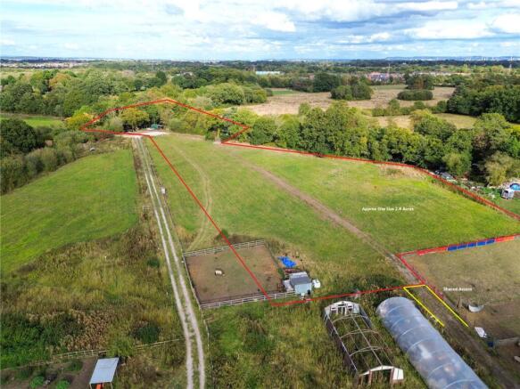
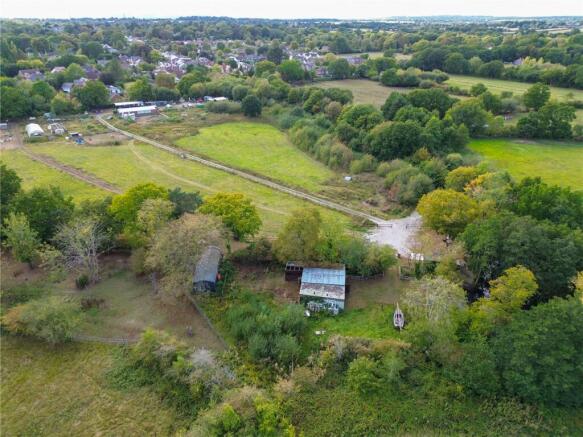
- Approx 2.8 Acres
- Currently used as grazeland
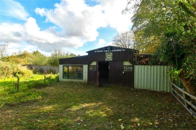
- 34' Barn with stables
- Cabin
- Accessed via Heath Lane
- Shared access
- Caravan
- Greenbelt
- Services in situ
- Natural Pond
Description
Heathfield Nurseries offers shared access via Heath Lane, Willaston and opens up to approximately 2.8 acres of greenbelt land. The site is currently occupied by a natural pond, grazeland, cabin, 34' barn with stables and a static caravan. Permission is granted for a small holding and also nursery.
Potential for private equestrian facility or small holding.
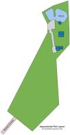
Site Size: Approx 2.8 Acres
Title: Site forms part of both CH220909 (Freehold) & CH227692 (Freehold) site illustrated differs from the title which is to be updated via Land Registry
Services: Water & Electric
Overage: the site is applicable for an overage, enquire for details.
For further details and to arrange a viewing, please call Karl Tatler Estate Agents. Viewings strictly by appointment only.
Brochures
ParticularsHeath Lane, Willaston, Neston

NEAREST STATIONS
Distances are straight line measurements from the centre of the postcode- Hooton Station0.6 miles
- Eastham Rake Station1.0 miles
- Little Sutton Station2.1 miles

About Karl Tatler Estate Agents, Heswall
23 Pensby Road, Heswall, Wirral, CH60 7RA


Notes
Disclaimer - Property reference HWS250617. The information displayed about this property comprises a property advertisement. Rightmove.co.uk makes no warranty as to the accuracy or completeness of the advertisement or any linked or associated information, and Rightmove has no control over the content. This property advertisement does not constitute property particulars. The information is provided and maintained by Karl Tatler Estate Agents, Heswall. Please contact the selling agent or developer directly to obtain any information which may be available under the terms of The Energy Performance of Buildings (Certificates and Inspections) (England and Wales) Regulations 2007 or the Home Report if in relation to a residential property in Scotland.
Map data ©OpenStreetMap contributors.