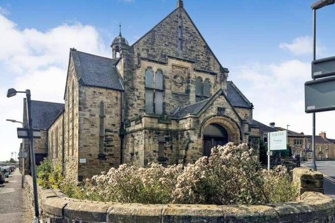
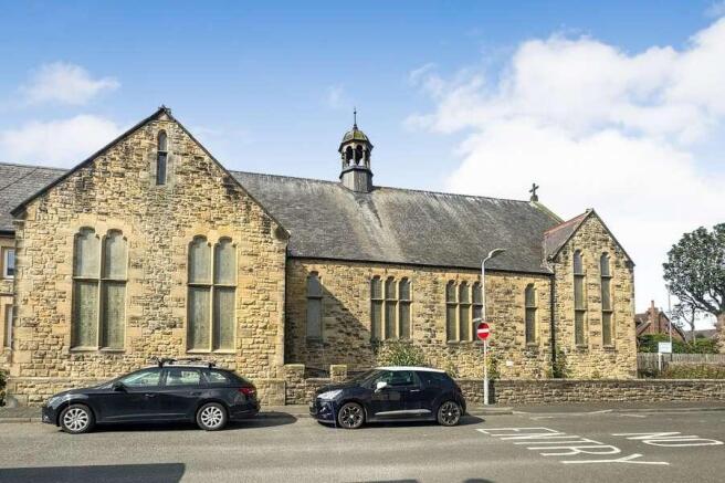
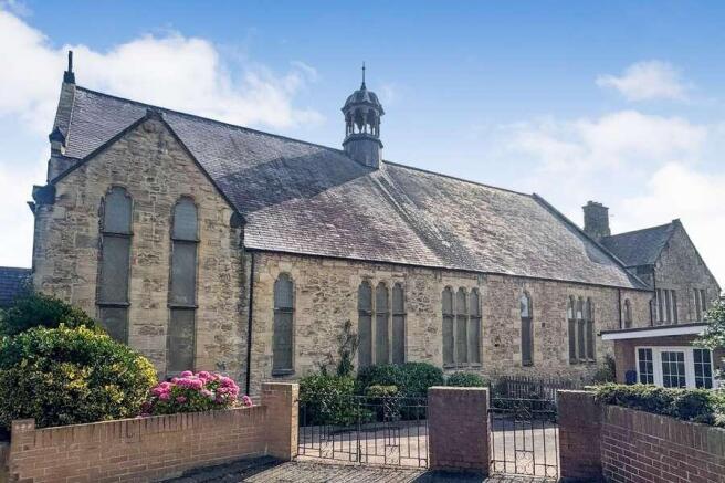
Former St Marks Church, Amble, Morpeth
£60.36 per sq ft
Business rates & charges may apply

- SIZE AVAILABLE
2,800 sq ft
260 sq m
- SECTOR
Land for sale
Key features
- Former Church with planning permission granted for 3 x large apartments
- Freehold
- Stripped out ready for redevelopment
- Onsite car parking
- Location is popular with tourist
Description
The property occupies a substantial corner plot, and it's location offers good access to local amenities,including shops, cafes, and schools, and benefits from proximity to the marina and coastline.
The property benefits from full panning permission granted for conversion into three residential dwellings: two three-bedroom units and one larger two-bedroom unit.
Flat A - 2,248 sqft
Flat B -1, 652 sqft
Flat C -1,760 sqf
St Mark’s Church is situated in Morpeth in Northumberland, approximately 20 miles north of Newcastle upon Tyne and 9 miles southeast of Alnwick. Amble is accessible via the A1068, which connects to the A1
Transport
Alnmouth Station - 5 miles
Direct services on the East Coast Main Line to Newcastle,Edinburgh, and London.
Brochures
Former St Marks Church, Amble, Morpeth

NEAREST STATIONS
Distances are straight line measurements from the centre of the postcode- Acklington Station3.2 miles
- Alnmouth Station4.7 miles
Notes
Disclaimer - Property reference 808588F8-F193-422A-9526-BD6A9C237B9A. The information displayed about this property comprises a property advertisement. Rightmove.co.uk makes no warranty as to the accuracy or completeness of the advertisement or any linked or associated information, and Rightmove has no control over the content. This property advertisement does not constitute property particulars. The information is provided and maintained by Savills, City Offices. Please contact the selling agent or developer directly to obtain any information which may be available under the terms of The Energy Performance of Buildings (Certificates and Inspections) (England and Wales) Regulations 2007 or the Home Report if in relation to a residential property in Scotland.
Map data ©OpenStreetMap contributors.