
Approx 1.40 acres (0.57ha) Prime Residential Development Land Southeast of Greyhound Close, Hereford, HR2 0LD

- PROPERTY TYPE
Residential Development
- SIZE
Ask agent
Key features
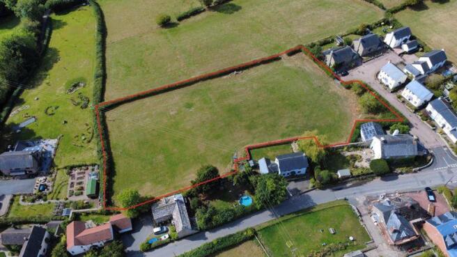
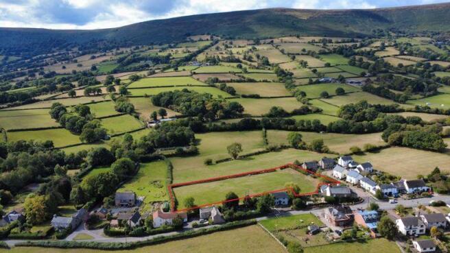
- Prime residential development land southeast of Greyhound Close
- Detailed Planning Permission for 8 No. of Dwellings on approx. 1.40 acres (0.57ha)
- Grade 3 agricultural land bounded by residential properties to the northwest, northeast and southeast
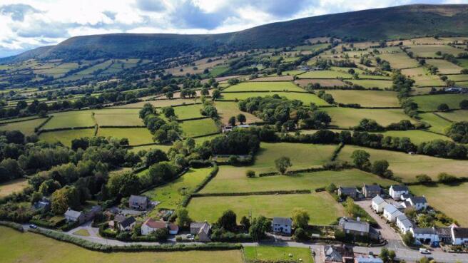
- Borders open countryside, with an outstanding vista to the northwest
- Information Pack available upon registration of interest
Description
Longtown hosts a well-served community with a cherished village shop, primary school, village hall, and traditional public house.
A detailed planning permission (Ref: P240468/F) for the construction of 8 no. of dwellings with associated access, parking and landscaping was granted on 8 July 2025, with no requirement for any affordable housing provision or planning obligations.
Full details are carried on Herefordshire Council's Planning Portal, and relevant planning information is included within the information pack.
Brochures
Property BrochureFull DetailsApprox 1.40 acres (0.57ha) Prime Residential Development Land Southeast of Greyhound Close, Hereford, HR2 0LD

NEAREST STATIONS
Distances are straight line measurements from the centre of the postcode- Abergavenny Station9.6 miles


Notes
Disclaimer - Property reference 12752244. The information displayed about this property comprises a property advertisement. Rightmove.co.uk makes no warranty as to the accuracy or completeness of the advertisement or any linked or associated information, and Rightmove has no control over the content. This property advertisement does not constitute property particulars. The information is provided and maintained by Herbert R Thomas, Cowbridge. Please contact the selling agent or developer directly to obtain any information which may be available under the terms of The Energy Performance of Buildings (Certificates and Inspections) (England and Wales) Regulations 2007 or the Home Report if in relation to a residential property in Scotland.
Map data ©OpenStreetMap contributors.