Bourne Road, NG33
£0.92 per sq ft
Business rates & charges may apply
- SIZE AVAILABLE
43,560-348,480 sq ft
4,047-32,375 sq m
- SECTOR
Storage facility to lease
- USE CLASSUse class orders: B8 Storage and Distribution
B8
Lease details
- Lease available date:
- Now
- Lease type:
- Long term
- Furnish type:
- Unfurnished
Key features
- Open Storage
- Flexible Lot Size
- A1 Motorway - Road Access
- Secure Fencing
Description
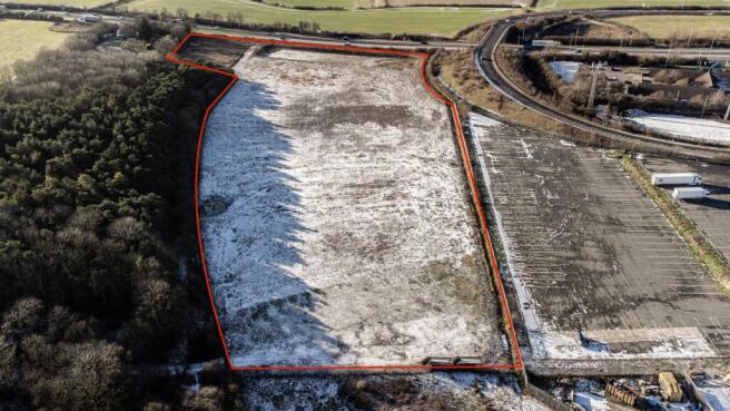
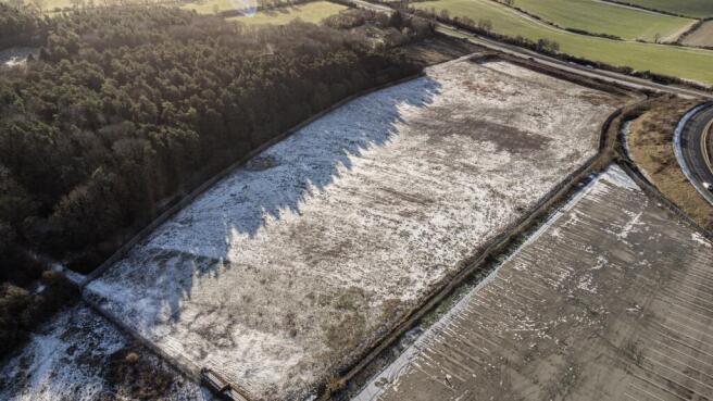
The site is predominantly hardcore, making it well suited for a wide range of open storage uses, including plant and machinery, vehicles, containers, building materials, or logistics-related operations. The land is fully secure, benefiting from perimeter fencing and gated access, providing occupiers with a safe and controlled environment.
A key feature of the site is its excellent accessibility, being located close to the A1, offering fast and direct connections to the national road network. This strategic location makes the land particularly attractive for businesses requiring efficient transport links and ease of access for HGVs and commercial vehicles.
Please note that the access will be completed prior to the lease completing.
Brochures
Bourne Road, NG33

NEAREST STATIONS
Distances are straight line measurements from the centre of the postcode- Grantham Station7.3 miles
Notes
Disclaimer - Property reference GRA01. The information displayed about this property comprises a property advertisement. Rightmove.co.uk makes no warranty as to the accuracy or completeness of the advertisement or any linked or associated information, and Rightmove has no control over the content. This property advertisement does not constitute property particulars. The information is provided and maintained by Greenacre Rural, Nottingham. Please contact the selling agent or developer directly to obtain any information which may be available under the terms of The Energy Performance of Buildings (Certificates and Inspections) (England and Wales) Regulations 2007 or the Home Report if in relation to a residential property in Scotland.