Unit 2 Leigh Sinton Farm, Lower Interfields, Malvern
£8.00 per sq ft
Business rates & charges may apply
- SIZE AVAILABLE
3,500 sq ft
325 sq m
- SECTOR
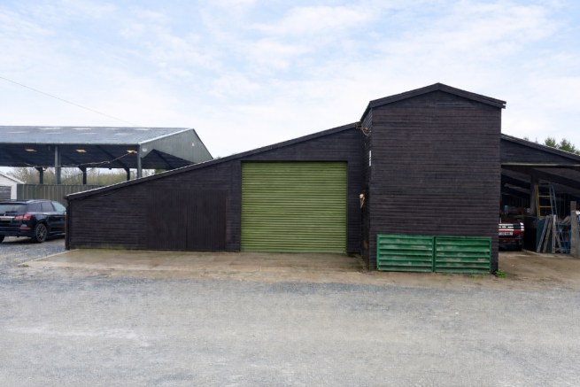
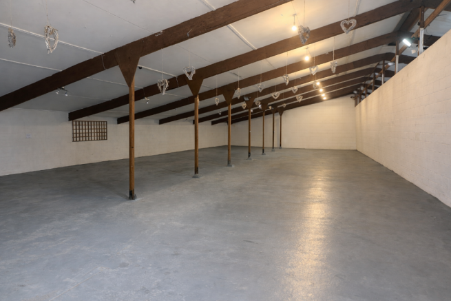
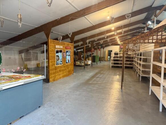
Light industrial facility to lease
Lease details
- Lease available date:
- Ask agent
Key features
- Clean well maintained storage unit.
- Under refurbishment.
- Painted concrete floor.
- Electric roller shutter door to be installed.
- Secure site.
- 2 miles from Malvern Centre
Description
The unit is currently undergoing refurbishment and will soon have an electric roller shutter door installed.
The unit benefits from shared WC facilities, but WC facilities and office accommodation can be installed within the unit if required by an ingoing tenant.
Brochures
Unit 2 Leigh Sinton Farm, Lower Interfields, Malvern

NEAREST STATIONS
Distances are straight line measurements from the centre of the postcode- Malvern Link Station1.6 miles
- Great Malvern Station2.7 miles
- Colwall Station4.9 miles
Notes
Disclaimer - Property reference BWOR2148-LET. The information displayed about this property comprises a property advertisement. Rightmove.co.uk makes no warranty as to the accuracy or completeness of the advertisement or any linked or associated information, and Rightmove has no control over the content. This property advertisement does not constitute property particulars. The information is provided and maintained by Bulleys Chartered Surveyors, Worcester. Please contact the selling agent or developer directly to obtain any information which may be available under the terms of The Energy Performance of Buildings (Certificates and Inspections) (England and Wales) Regulations 2007 or the Home Report if in relation to a residential property in Scotland.