Thetford Road, Coney Weston, IP31 1DN
- PROPERTY TYPE
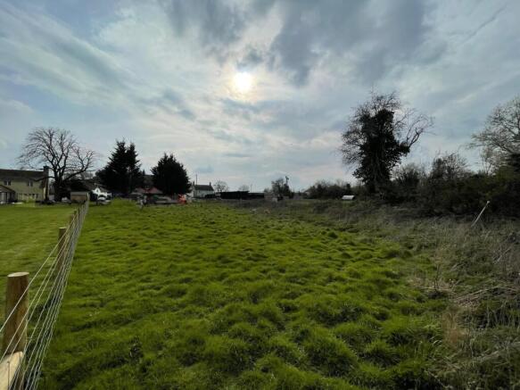
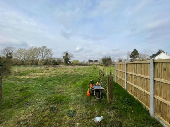
Land
- SIZE
Ask agent
Description
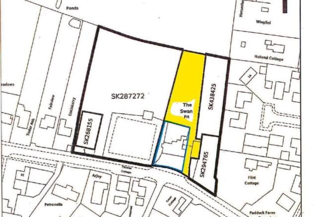
The Vendor advises that the total site area is approximately 1425 sq.meters.
Coney Weston is located approximately 6.9 miles from Thetford and approximately 13.3 miles from Bury St Edmunds.
The entrance to the site can be found with what3words: ///breathed.rally.committed
Tenure: Freehold
Brochures
BrochureThetford Road, Coney Weston, IP31 1DN

NEAREST STATIONS
Distances are straight line measurements from the centre of the postcode- Harling Road Station6.3 miles
Notes
Disclaimer - Property reference RS0385. The information displayed about this property comprises a property advertisement. Rightmove.co.uk makes no warranty as to the accuracy or completeness of the advertisement or any linked or associated information, and Rightmove has no control over the content. This property advertisement does not constitute property particulars. The information is provided and maintained by Kavanagh Hayes, Chatteris. Please contact the selling agent or developer directly to obtain any information which may be available under the terms of The Energy Performance of Buildings (Certificates and Inspections) (England and Wales) Regulations 2007 or the Home Report if in relation to a residential property in Scotland.
Map data ©OpenStreetMap contributors.