
, Bogside Road, Coupar Angus, Perthshire, PH13
- PROPERTY TYPE
Land
- SIZE
Ask agent
Key features
- Planning Permission in Principle
- Peaceful residential area
- Short distance from town
- Close to Schools
- Services Nearby
- Space for Two Properties
- Shops & Amenities Nearby
- Building Plot
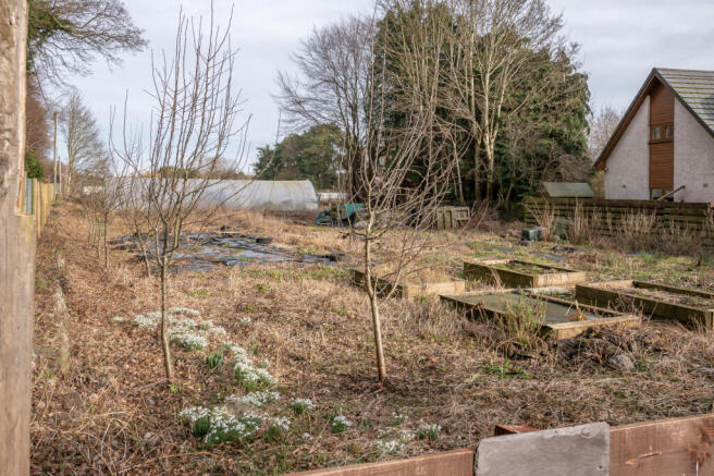
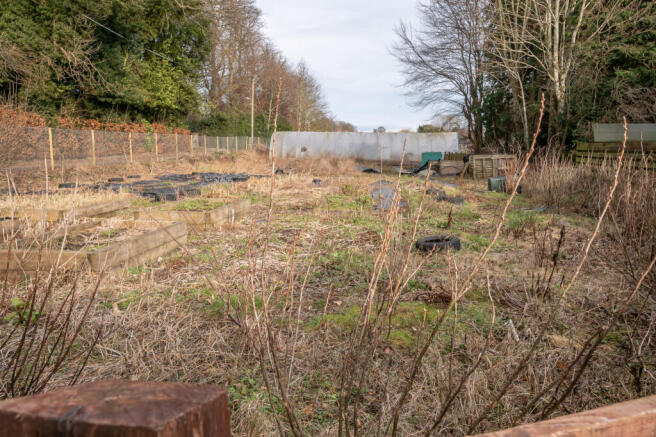
Description
It is understood the mains water, gas, electricity and drainage connections are available but interested parties are required to make their own enquiries in this regard.
The seller may sell the site in one or two lots.
For further information please contact the selling agents.
, Bogside Road, Coupar Angus, Perthshire, PH13

NEAREST STATIONS
Distances are straight line measurements from the centre of the postcode- Invergowrie Station10.4 miles
Notes
Disclaimer - Property reference 531. The information displayed about this property comprises a property advertisement. Rightmove.co.uk makes no warranty as to the accuracy or completeness of the advertisement or any linked or associated information, and Rightmove has no control over the content. This property advertisement does not constitute property particulars. The information is provided and maintained by property@hodge, Blairgowrie. Please contact the selling agent or developer directly to obtain any information which may be available under the terms of The Energy Performance of Buildings (Certificates and Inspections) (England and Wales) Regulations 2007 or the Home Report if in relation to a residential property in Scotland.