Land at Woolwell - Phases 1A and 1B, Plymouth, Devon
Size
Ask agent
Tenure
Freehold
EPC
Parking
Ask agent
- Primary use
- Land
No floor / site plan
Key features
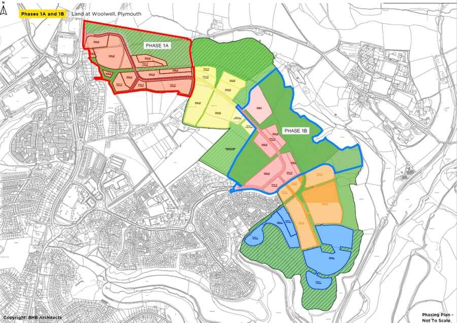
- First phase of a strategic urban extension on Plymouth’s northern edge
- Two self-contained development parcels, available separately or in combination
- Offering flexible lots of circa 205 plots, 399 plots or 604 plots
- Located in a key growth area in a highly accessible location
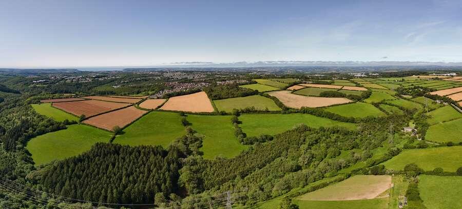
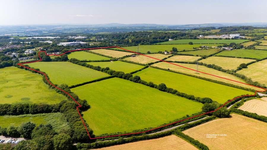
- With views of Dartmoor to the north and east
- 8.7% affordable housing provision
- No CIL liability
Description
The Estate’s land forms the majority part of the Joint Local Plan allocation (Policy PLY44) for circa 2,000 dwellings. Phase 1 of the proposed development comprises two self-contained parcels, known as Phase 1A and Phase 1B, which benefit from separate accesses. The parcels are available separately or in combination, offering the flexibility to acquire land which can provide circa 205 plots, 399 plots or 604 plots.
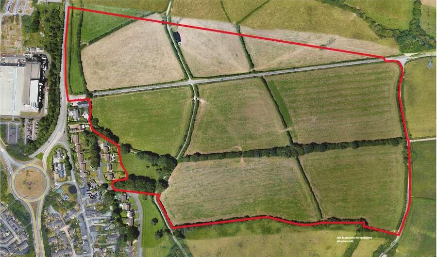
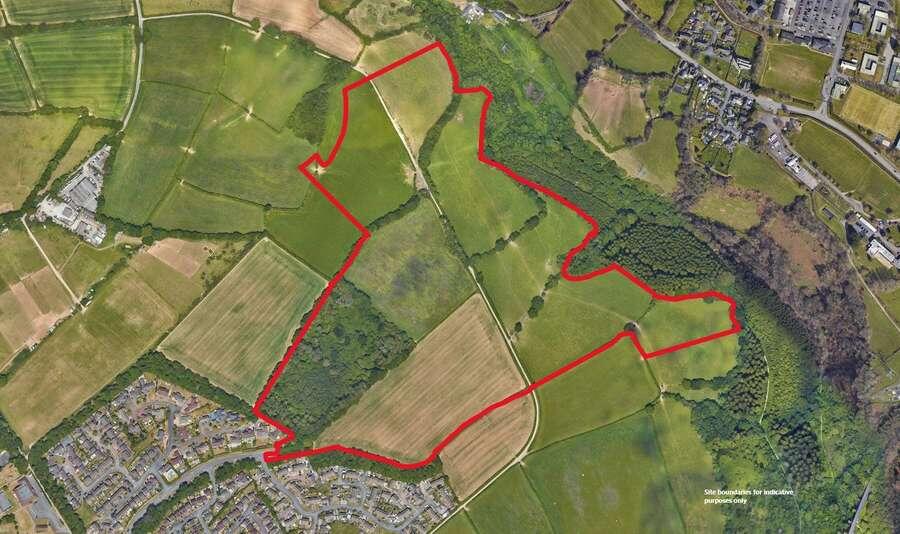
The entire planning application site boundary extends to approximately 296 acres (120 hectares) and is bounded by Tavistock Road (A386) to the northwest, existing residential areas at Woolwell and Roborough to the west and south-west, open farmland to the north and north-east, and established woodland and the Plym Valley landscape to the east.
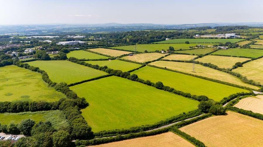
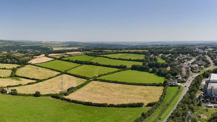
The land is set within an attractive landscape of mature woodland and
hedgerows and benefits from a natural setting. It is not located within any
national or local landscape designations.
The proposed scheme will retain key woodland features and deliver substantial public open space, including a significant Community Park along the northern and eastern edge. The former Plymouth and Dartmoor Tramway will be sensitively incorporated into green corridors and pedestrian and cycle routes.
The site lies entirely within Flood Zone 1 and is not subject to significant
constraints relating to air quality or noise. Its varied topography offers the
opportunity to create a distinctive, high‑quality development that responds positively to the natural landform and landscape setting.
The development will be serviced via two vehicular access points, comprising a new roundabout on the A386 and an extension of the existing road at Pick Pie Drive.
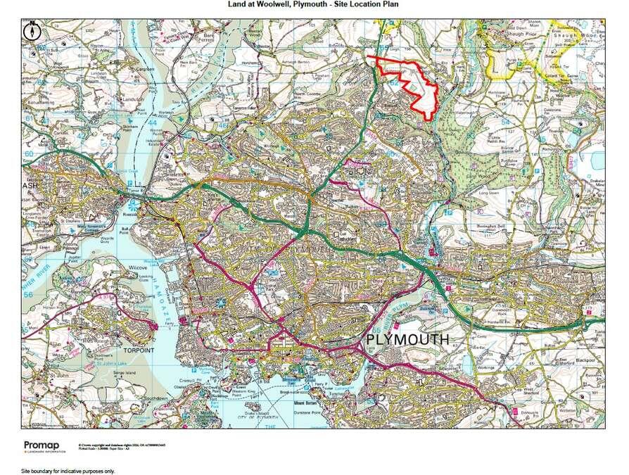
The land is situated in a rural location, close to Dartmoor National Park, approximately 6 miles to the north-east of Plymouth city centre. It represents a significant urban extension on the northern fringe of the city between the existing residential areas of Roborough and Woolwell.
Derriford Hospital and Estover Industrial Estate are located approximately 2.5 miles to the south-west and south-east, respectively and the site is also within 3.5 miles of the Manadon junction of the A38 Devon Expressway.
Nearby amenities include a Tesco Extra and Lidl, the Woolwell Centre, a GP surgery, a care home, Bickleigh Down C of E primary school and two nurseries.
The site benefits from strong transport connectivity, with direct frontage to the A386 Tavistock Road, which is the principal route to the city centre from the north. There are a number of existing bus stops close to the site, The George Junction Park & Ride is located 1.3 miles to the south.
- Service charge
- Ask agent
- Business rates
- Ask agent
- Use class
- Ask agent
- Listed building
- Ask agent
An Energy Performance certificate helps you understand the current energy efficiency of a property.
Read more about EPC requirementsAsk agent
- BREEAM rating
Unclassified
- Environmental description
- Ask agent
Brochure
Land at Woolwell - Phases 1A and 1B, Plymouth, Devon
Your search history
You have no recent searches
Disclaimer - Property reference 6FC7FAA6-AAF2-4804-8C46-6804407CAACD. The information displayed about this property comprises a property advertisement. Rightmove.co.uk makes no warranty as to the accuracy or completeness of the advertisement or any linked or associated information, and Rightmove has no control over the content. This property advertisement does not constitute property particulars. The information is provided and maintained by Savills National , Exeter. Please contact the selling agent or developer directly to obtain any information which may be available under the terms of The Energy Performance of Buildings (Certificates and Inspections) (England and Wales) Regulations 2007 or the Home Report if in relation to a residential property in Scotland.