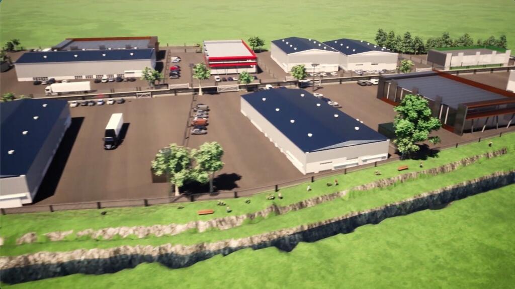
Development Land, The Slipe, Bourne, PE10 0DE
Size
0.4400 - 16.4
Tenure
Freehold
EPC
Ask agent
Parking
Ask agent
- Primary use
- Land
No floor / site plan
Key features
- Allocated Employment Land
- Available as a whole or in plots
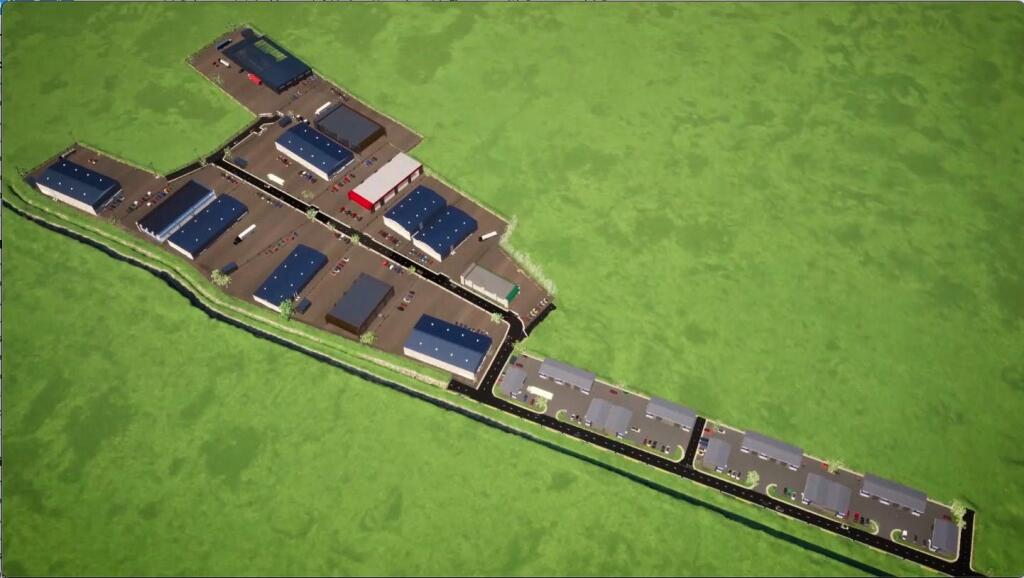
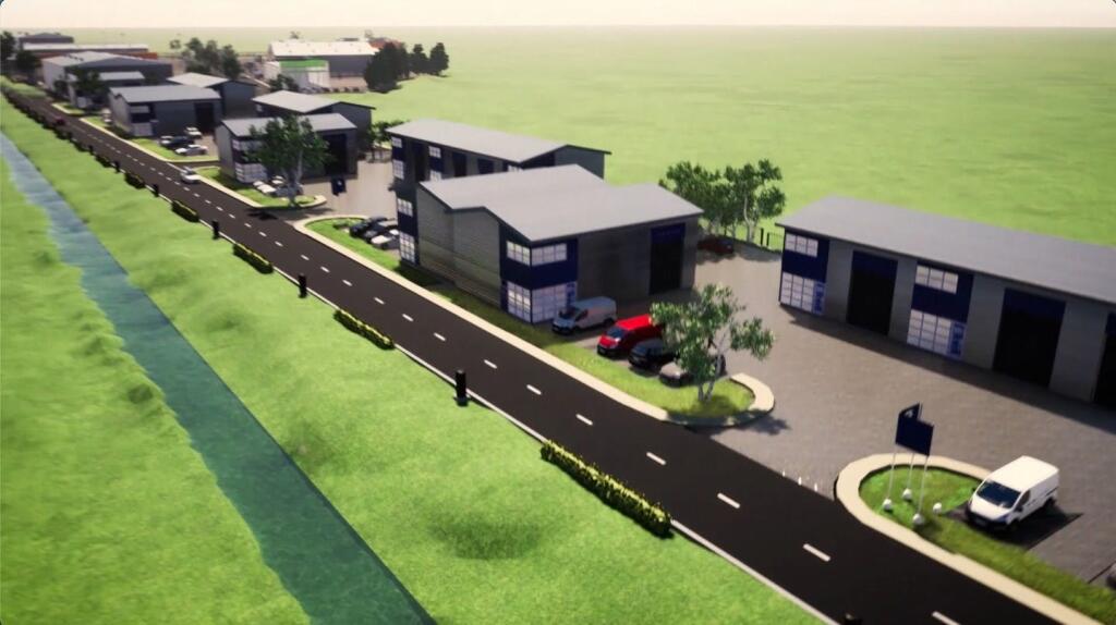
- Planning Consent for light industrial/Industrial developments
- Located close to Bourne, Lincolnshire & A15
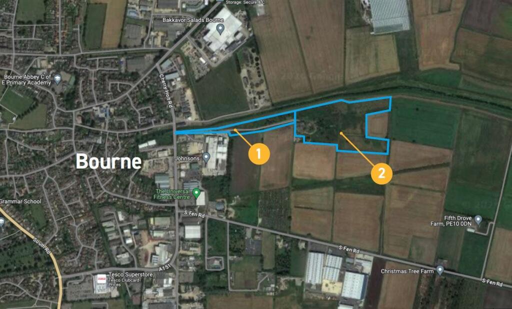
- Area 1 comprises approximately 2.93 acres
- Area 2 comprises approximately 13.49 acres
Description
The site comprises 2 adjoining parcels of allocated employment land which is relatively flat. There is an existing right of way across Area 1 leading to Area 2, providing access to 2 residential units and 3 agricultural fields, located on the boundary of Area 2. The right of way will need to be maintained in perpetuity and incorporated within any proposed development.
Access to the land is via The Slipe which is part public highway and part unregistered but is constructed to adoptable standard. We understand the Local Authority have agreed to adopt the highway up to the entrance of Area 1, thereafter the access road will need to be constructed to a suitable standard to meet future needs/use of the land.
Area 1 comprises approximately 2.93 acres (1.18 ha) & has an implemented planning consent - application nos. S21/2414, S19/2143, S19/1184 & S16/1327.
Area 2 comprises approximately 13.49 acres (5.46 ha) - has outline planning consent which expired in July 2022 - Application No. S19/0426
Location
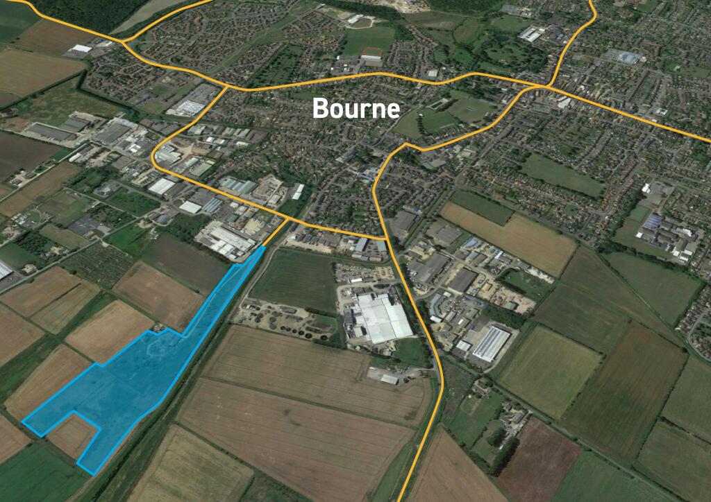
Bourne is an expanding South Lincolnshire market town located on the A15 and approximately 16 miles north of Peterborough. Stamford is 10 miles southwest and Leicester 40 miles to the east.
The land is located just off Cherry Holt Road near to the junction of Spalding Road. Nearby occupiers include Bourne Textiles, Toolstation, Travis Perkins, Screwfix and Howdens.
To the north of the site is Bourne Eau a small river which joins the River Glen to the south-east.
Viewings
Strictly by appointment with the sole agent.
Terms
The site is available for sale and offers are sought in the region of £150,000 per acre plus VAT and purchasers costs.
Business Rates
On application.
VAT
VAT will be charged in addition to the rent at the prevailing rate.
Anti-Money Laundering
To comply with Anti-Money Laundering Regulations, proof of ID and address are required and confirmation of the source of funding will be required.
Planning
Interested parties are advised to make enquiries with South Kesteven District Council - or E:
Legal Costs
Each party is to be responsible for their own legal costs incurred in the transaction.
EPC
Not applicable
- Service charge
- Ask agent
- Business rates
- Ask agent
- Use class
- B2
- Listed building
- Ask agent
- Floors in building
- 1
An Energy Performance certificate helps you understand the current energy efficiency of a property.
Read more about EPC requirementsAsk agent
- BREEAM rating
- Ask agent
- Environmental description
- Ask agent
Brochure
Your search history
You have no recent searches
Disclaimer - Property reference 183349-1. The information displayed about this property comprises a property advertisement. Rightmove.co.uk makes no warranty as to the accuracy or completeness of the advertisement or any linked or associated information, and Rightmove has no control over the content. This property advertisement does not constitute property particulars. The information is provided and maintained by Savills National , Peterborough. Please contact the selling agent or developer directly to obtain any information which may be available under the terms of The Energy Performance of Buildings (Certificates and Inspections) (England and Wales) Regulations 2007 or the Home Report if in relation to a residential property in Scotland.