Land at Copmere End - Lot Two

- PROPERTY TYPE
Farm Land
- SIZE
Ask agent
Key features
- Approximately 10.52 Acres 4.26 (Ha) of agricultural land
- Further Lots are available
- Suitable for arable, grazing, amenity and recreational use
- Road frontage
- Mains water
Description
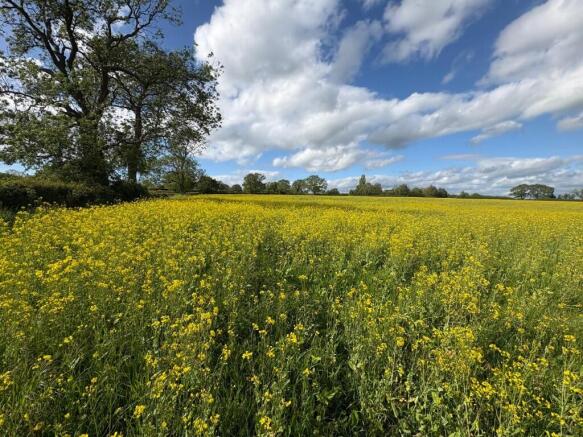
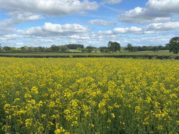
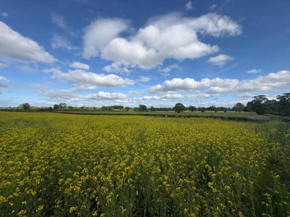
The land is currently growing a crop of stubble turnips and has previously been used for maize and grass production. Classified as Grade 3 agricultural land, the soil is considered suitable for a range of agricultural purposes including continued arable cropping and livestock grazing, whilst also offering potential for amenity and recreational uses.
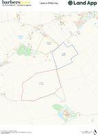
Lot 2 extends to approximately 10.52 acres (4.26 hectares) and benefits from two gated access points off Blackwaters Road. A public footpath crosses this lot and boundaries are formed by mature hedgerows. The lot also benefits from a mains water connection.
Further Lots are available.
The property is being sold subject to a development clawback provision. In the event that planning permission is granted for any use other than agricultural or equestrian within 25 years of completion, the sellers or their successors will be entitled to 25% of any uplift in value.
Brochures
Sales DetailsLand at Copmere End - Lot Two

NEAREST STATIONS
Distances are straight line measurements from the centre of the postcode- Stone Station7.0 miles
About Barbers Rural Consultancy LLP, Market Drayton
Smithfield House Smithfield Road Market Drayton TF9 1EWNotes
Disclaimer - Property reference 14559b. The information displayed about this property comprises a property advertisement. Rightmove.co.uk makes no warranty as to the accuracy or completeness of the advertisement or any linked or associated information, and Rightmove has no control over the content. This property advertisement does not constitute property particulars. The information is provided and maintained by Barbers Rural Consultancy LLP, Market Drayton. Please contact the selling agent or developer directly to obtain any information which may be available under the terms of The Energy Performance of Buildings (Certificates and Inspections) (England and Wales) Regulations 2007 or the Home Report if in relation to a residential property in Scotland.