
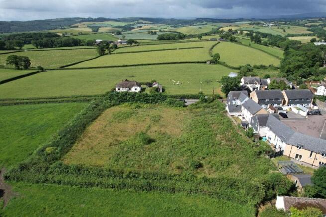
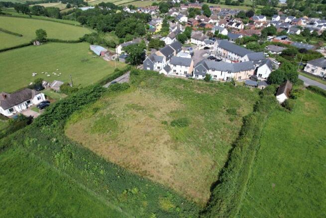
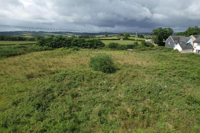
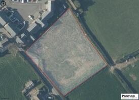
Land at Moor Park, Cheriton Bishop
- PROPERTY TYPE
Land
- SIZE
Ask agent
Key features
- For sale by informal tender
- Circa 1 Acre
- Edge of Cheriton Bishop
Description
The land falls under Teignbridge District Council. Any queries with regards to development would need to be taken from the local plan that has been adopted.
Tenure: Freehold
Property Location
The land is located on the edge of Cheriton Bishop. It can be found by turning at the Thatch Inn and can then be found on the left after the modern development.
Its a well proportioned parcel of land that has good access from the road.
Planning
There is currently no planning associated with the land. Any queries should be directed to your chosen professional or Teignbridge District Council.
Viewings
Viewings will more than likely be via a block viewing basis. Please contact the office for further information.
Agents Note
Please note that this parcel of land is being by sold by informal tender. Any offers need to be received in writing by 1200 on the 10th July 2026. Any offers need to be sent to with a copy of proof of funds and ID.
Brochures
BrochureLand at Moor Park, Cheriton Bishop

NEAREST STATIONS
Distances are straight line measurements from the centre of the postcode- Yeoford Station3.8 miles
- Crediton Station5.7 miles


Notes
Disclaimer - Property reference RS0922. The information displayed about this property comprises a property advertisement. Rightmove.co.uk makes no warranty as to the accuracy or completeness of the advertisement or any linked or associated information, and Rightmove has no control over the content. This property advertisement does not constitute property particulars. The information is provided and maintained by Godfrey Short & Squire, Okehampton. Please contact the selling agent or developer directly to obtain any information which may be available under the terms of The Energy Performance of Buildings (Certificates and Inspections) (England and Wales) Regulations 2007 or the Home Report if in relation to a residential property in Scotland.