
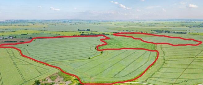
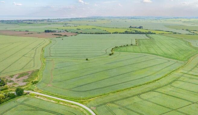
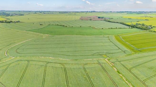
Orgarswick Farm Lane, Burmarsh

- PROPERTY TYPE
Land
- SIZE
Ask agent
Key features
- Productive block of 95.54 acres of Grade II arable land in 2 parcels
- Both plots with direct road access
Description
DIRECTIONSThe nearest postcode to the property is TN29 0HX.
WHAT 3 WORDSUsing the What3Words App, access to the land from the south will be found at storybook.airbase.farmer and from the north at notched.regal.revisit.
METHOD OF SALE: The land is being offered for sale by Private Treaty.
VIEWINGS: The property can be viewed from the public highway at any reasonable time. We would ask viewers to be respectful of the growing crops in the ground when viewing. TENURE: Vacant possession on completion to coincide with the end of the current Farm Business Tenancy on 30th September 2026.
TENURE: Vacant possession on completion to coincide with the end of the current Farm Business Tenancy on 30th September 2026.
WAYLEAVES, EASEMENTS AND RIGHTS OF WAY: A water pipe runs the full length of the eastern boundary of the eastern parcel of land from Church Road towards Orgarswick Farm following the boundary line-see plan above. No formal easement exists for this pipe.
SERVICES & UTILITIES: No services are connected to the land.
LOCAL AUTHORITY: Folkestone & Hythe District Council, Civic Centre, Castle Hill Avenue, Folkestone, Kent CT20 2QY.
DRAINAGE PLANS & RATES: Both parcels of land are field drained with copy plans available for the drains with the exception of one field (Burmarsh) where no plans are available. Rates are payable to the Romney Marsh Internal Drainage Board.
To download the full particulars please see the attached links below. Should you wish to have a copy of the brochure posted to you or discuss details further please don't hesitate to contact us on the numbers provided.
Brochures
Full DetailsBrochureLand PlanOrgarswick Farm Lane, Burmarsh

NEAREST STATIONS
Distances are straight line measurements from the centre of the postcode- Westenhanger Station4.6 miles
- Sandling Station5.1 miles

About Lambert & Foster Ltd, Paddock Wood
77 Commercial Road, Paddock Wood, Kent, TN12 6DS


Notes
Disclaimer - Property reference 12883590. The information displayed about this property comprises a property advertisement. Rightmove.co.uk makes no warranty as to the accuracy or completeness of the advertisement or any linked or associated information, and Rightmove has no control over the content. This property advertisement does not constitute property particulars. The information is provided and maintained by Lambert & Foster Ltd, Paddock Wood. Please contact the selling agent or developer directly to obtain any information which may be available under the terms of The Energy Performance of Buildings (Certificates and Inspections) (England and Wales) Regulations 2007 or the Home Report if in relation to a residential property in Scotland.