Land For Sale in Warwickshire
Paid partnerships can play a role in listing order



 1/4
1/4


Location: Warwick is the County Town of Warwickshire, in the heart of the West Midlands. The Town is situated close to the Golden Triangle with excellent links to the National Motorway Network. The site is located off the Stratford Road (A429) within 1/2 mile of the M40 Junction 15 and is directly opposite Tournament Fields Business Park. Warwick Town Centre is approximately 2 miles from the site. Description: Prime location adjacent to Junction 15 of the M40 Outline Planning Permission granted for B2- General Industrial, E(g) (iii)- Light Industrial and B8 Storage or Distribution Approximately 2 miles from Warwick Town Centre Planning: The site benefits from Outline Planning Permission (with all matters reserved except for access) for employment related development (including B2/ B8 use class and Eg iii use class). Application reference w/22/1077 The balance of the site not subject to permission w/22/1077 remains allocated in the adopted Warwick Local Plan under policy DS9 as site E2, land at Stratford Road, Warwick and is considered suitable for a range of B Class uses. Data Room: An Information Pack will be made available to interested parties. Please contact the sole agents for data room access.


 1/31
1/31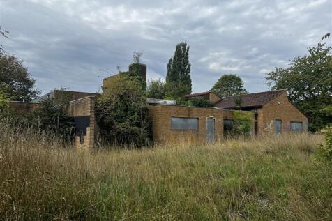
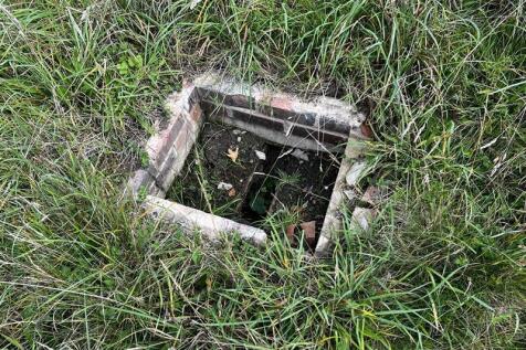

The Property is located in the centre of Alcester, comprising 0.68 hectares (1.68 acres) of relatively flat land which includes a single-storey school building of red brick construction under a mix of pitched clay tiled and flat metal roofs measuring approximately 978 sq m / 10,527 sq ft (Gross Internal Area). The Property has been vacant for several years and is in a state of significant disrepair. It is understood that the building also contains asbestos that would require remediation, and potential demolition. Externally the Property benefits from generous tarmacadam-surfaced parking provision, and the site boundary is a mix of wooden and metal fencing. Access is via two double gateways off Moorfield Road. The Property is within Flood Zone 3, with any development proposals of the site to be considered with this constraint in mind.
 1/1
1/1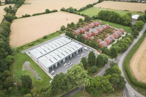
FREEHOLD DEVELOPMENT OPPORTUNITY WITH PLANNING PERMISSION. Current outline consent for 24 residential units and planning permission for 25,000 sq ft of commercial units. There is an existing short term income from buildings on the site. The site lies circa 4 miles north of Stratford upon Avon
 1/11
1/11


The site comprises of the Ufton Garage, with roadside car sales pitch, sales office and workshops. The site includes a 2 bedroom bungalow and separate retail shop, previously operating as a cafe. The retail unit comprises a single storey, flat roof building of traditional red brick construction. The

 |1/10
|1/10


The subject property comprises development land, formerly part of the Cherry Tree public house, extending to in the order of 0.875 acres (0.35 hectares). The parcel of land is potentially suitable for development for a variety of uses (STPP) The land is predominantly open and grassed, with part of the land currently in use as a car wash and associated car parking. Please note boundaries displayed are for identifications purposes only and the exact site boundaries will be agreed between parties prior to exchange of contracts. Please note that the former public house itself (now converted to retail units with apartments over) is not included in the sale and will be retained by the vendor.


 1/4
1/4


The property comprises two mid terraced houses converted and opened from the inside to be used as a place of worship. The property is of a traditional red brick construction with slate tile roof. Number 6 Kimberly has been extended to the rear boundary; the extension is single storey with a flat ro


 1/31
1/31The Property is located in the centre of Alcester, comprising 0.68 hectares (1.68 acres) of relatively flat land which includes a single-storey school building of red brick construction under a mix of pitched clay tiled and flat metal roofs measuring approximately 978 sq m / 10,527 sq ft (Gross Internal Area). The Property has been vacant for several years and is in a state of significant disrepair. It is understood that the building also contains asbestos that would require remediation, and potential demolition. Externally the Property benefits from generous tarmacadam-surfaced parking provision, and the site boundary is a mix of wooden and metal fencing. Access is via two double gateways off Moorfield Road. The Property is within Flood Zone 3, with any development proposals of the site to be considered with this constraint in mind.
1/2

An exciting opportunity to purchase just under an acre of pasture land at Lilbourne. The land extends to approximately 0.97 acres with mature hedgerows to the north and south boundaries, and fencing to the east and west. The land is registered under Title Number NN158753. OVERAGE The land will be sold subject to an overage of 35% for 25 years for uses other than agriculture, equestrian, or amenity. ACCESS Access to the land is via a right of way over the land coloured blue on the attached plan. ENQUIRIES All enquires to Trevor Wells or Tom Knowles T:
 1/9
1/9

 1/7
1/7


** Timed Online Auction - 24 September 2026 ** NVESTMENT PORTFOLIO LAND at Beaurevoir Way, Warwick. Multiple sites within an established & affluent residential area FREEHOLD LAND. May be suitable for multiple uses (subject to consents) FREEHOLD.
 1/1
1/1
The land forms part of a new urban extension currently under construction by Bloor Homes and Bovis Homes, which comprises approximately 800 new homes together with a new local centre, primary school and country park. The development also includes a new arterial relief road, Shottery West Relief Road, which has been constructed and work to connect the final section of road to the A46 has commenced and the Relief Road will be open to traffic in Summer 2026. The development is progressing well, with construction of the school set to begin in summer 2026. The land provides a level and serviced development site of approximately 0.508 hectares (1.25 acres) with consent for a single storey medical centre and pharmacy together with dedicated parking for up to 33 cars.
 1/7
1/7


The total site comprises approximately 16.7 acres. The area currently in use is approximately 10.8 acres. The surfaced areas are a mix of concrete and compacted hardstanding. The remainder of the site is natural vegetation covered along the bank of the River Avon to the north and east sides of the boundary. The site is bounded mainly by steel palisade fencing.
 1/5
1/5


Freehold land adjacent to the M6, M69 Motorways and A46.Various development opportunities subject to planning. Suitable for various uses including Biodiversity Net Gain (BNG).The site extends 6.97 ha (17.2 ac).Located close to Coventry Eastern Bypass with access via Central Boulevard
 1/8
1/8
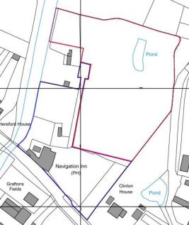
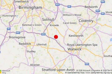
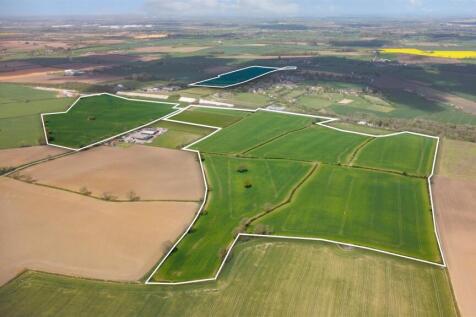
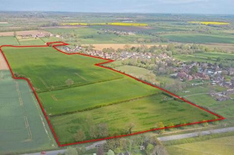
The site edged red on the above aerial photo, occupies a plot of circa 2.17 acres, with access reserved over the pub car park from the Old Warwick Road, B4439. For the avoidance of doubt, the Navigation Inn public house, car park and beer garden are not for sale. This area is outlined in blue on the site plan below.


 1/4
1/4Location: Warwick is the County Town of Warwickshire, in the heart of the West Midlands. The Town is situated close to the Golden Triangle with excellent links to the National Motorway Network. The site is located off the Stratford Road (A429) within 1/2 mile of the M40 Junction 15 and is directly opposite Tournament Fields Business Park. Warwick Town Centre is approximately 2 miles from the site. Description: Prime location adjacent to Junction 15 of the M40 Outline Planning Permission granted for B2- General Industrial, E(g) (iii)- Light Industrial and B8 Storage or Distribution Approximately 2 miles from Warwick Town Centre Planning: The site benefits from Outline Planning Permission (with all matters reserved except for access) for employment related development (including B2/ B8 use class and Eg iii use class). Application reference w/22/1077 The balance of the site not subject to permission w/22/1077 remains allocated in the adopted Warwick Local Plan under policy DS9 as site E2, land at Stratford Road, Warwick and is considered suitable for a range of B Class uses. Data Room: An Information Pack will be made available to interested parties. Please contact the sole agents for data room access.
|1/24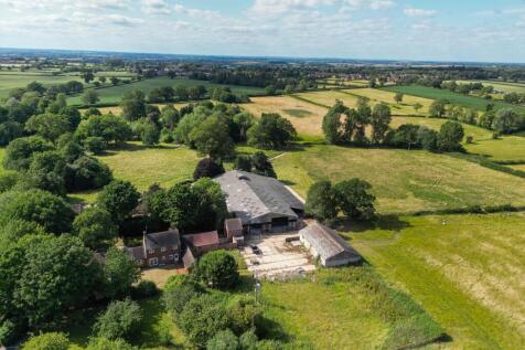
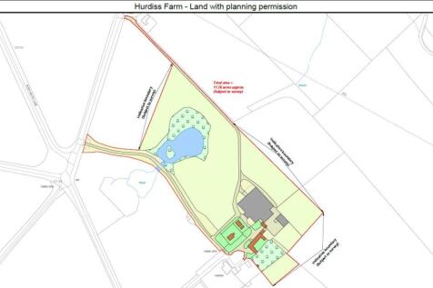
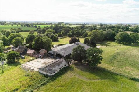
Lot 2 - Planning consent for extension of existing cottages and conversion of farm buildings to provide 15 dwellings (1979.89 sq m/21312 sq ft) on rural estate, paddocks and woodland. About 12 acres. Being sold in conjunction with Lot 1, a detached farmhouse in mature parkland with garden, paddo...
| |1/14
|1/14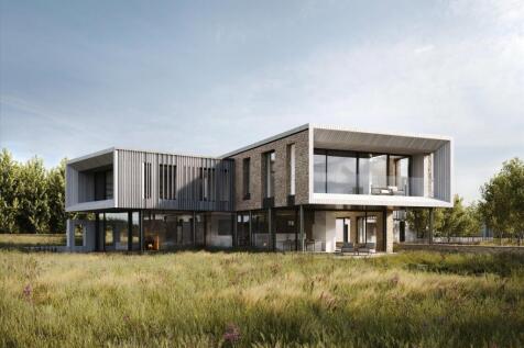

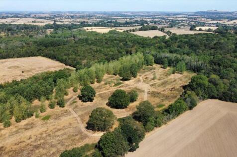
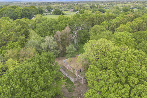
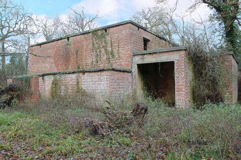
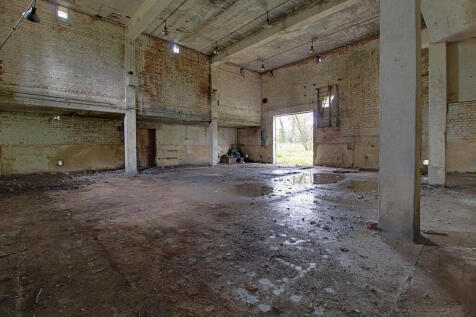
An opportunity to create a modern masterpiece 11,000 sq ft home, with Para 84 permissions granted situated in a magical 10 acre natural sanctuary The project architect, Seymour-Smith Architects, is a Cotswolds based design-led architectural practice that delivers considered, contemporary and sus...
 |1/22
|1/22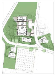
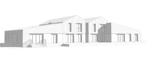
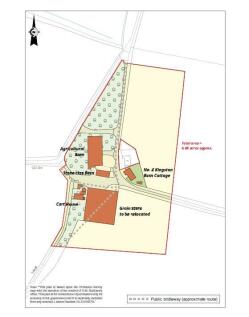
A development opportunity with full planning consent for eight dwellings, with paddock land and woodland. In all about seven acres. An opportunity to acquire a development site in open countryside, with full planning consent for extension of a detached cottage, conversion of two detached traditi...
||1/9


A Rare Opportunity to Create Four Exceptional Village Homes. Planning Ref: 25/03091/REM •Planning permission for four premium homes •Prime village location close to Stratford-upon-Avon •Exclusive executive development opportunityf •Ready for immediate implementation •Offe...