Land For Sale in Worcestershire
Paid partnerships can play a role in listing order
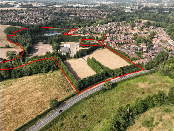
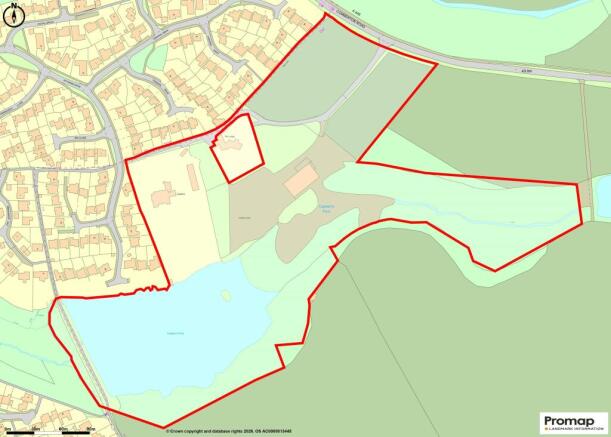
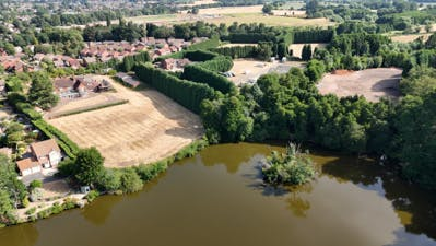
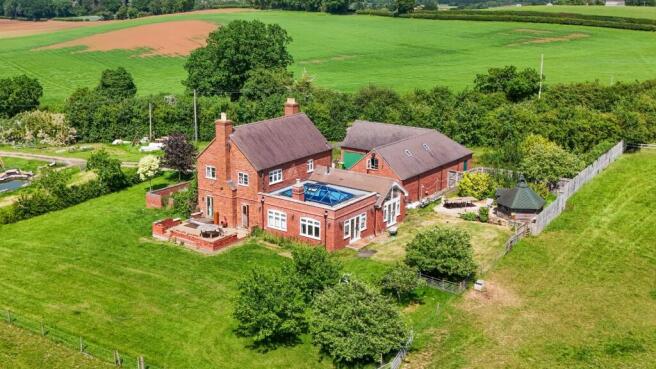
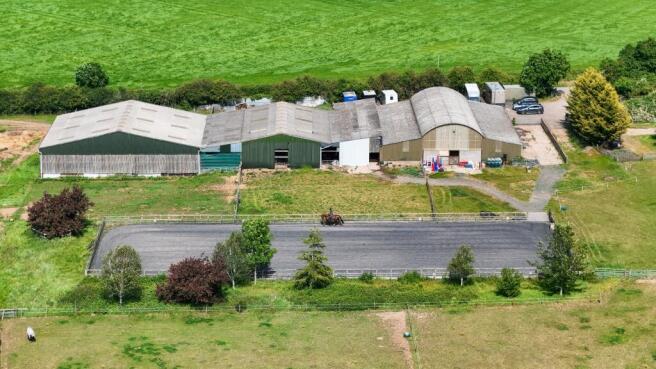
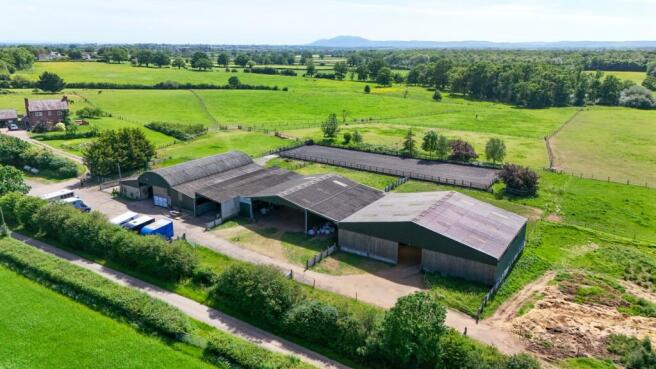
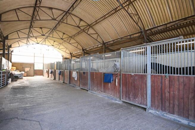
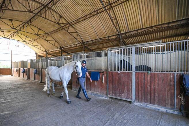
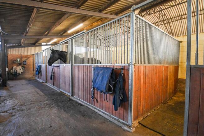
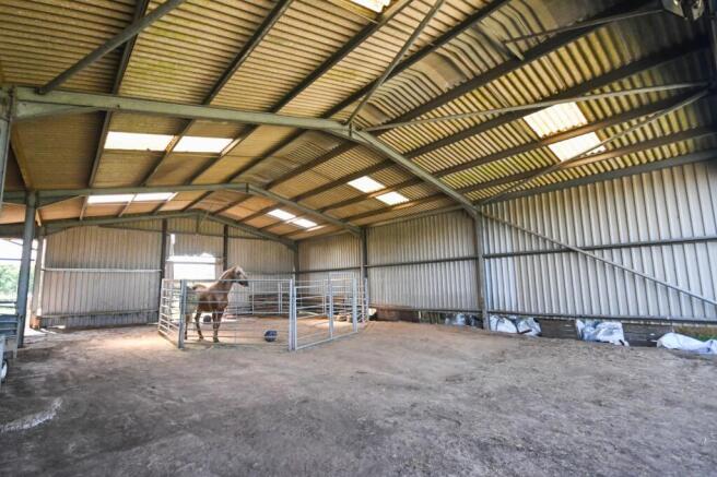
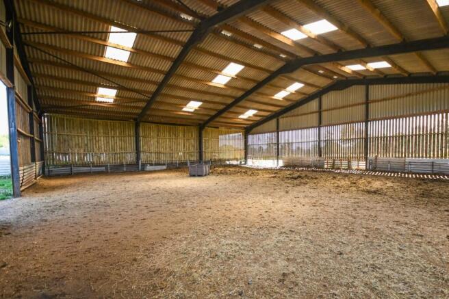
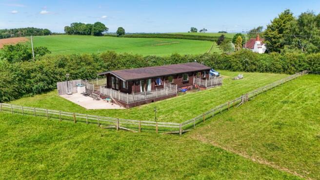
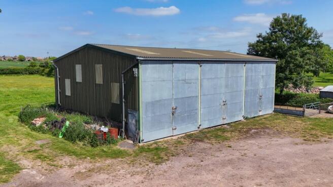
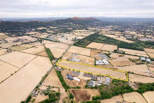
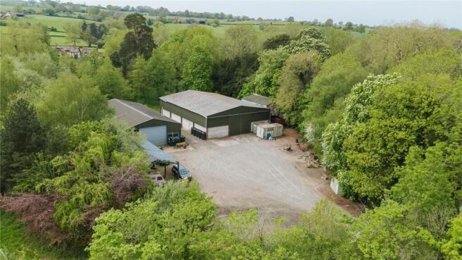
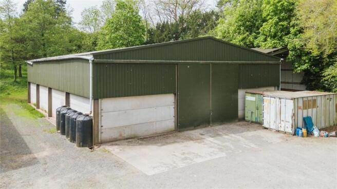
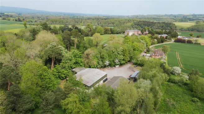
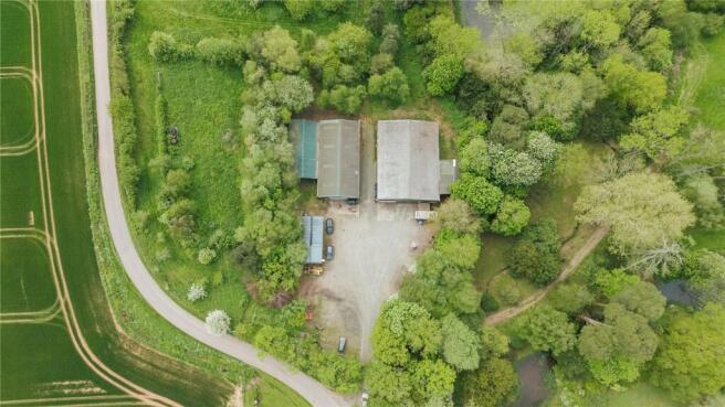
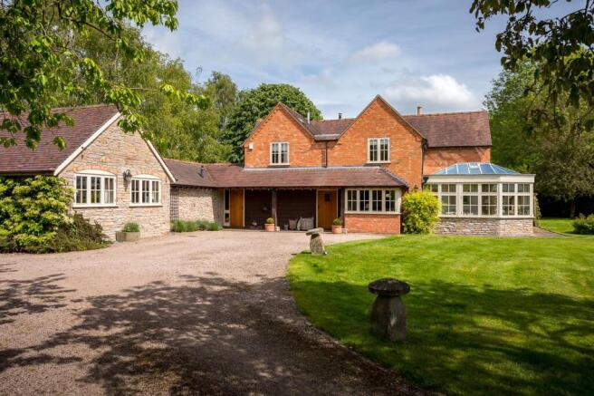
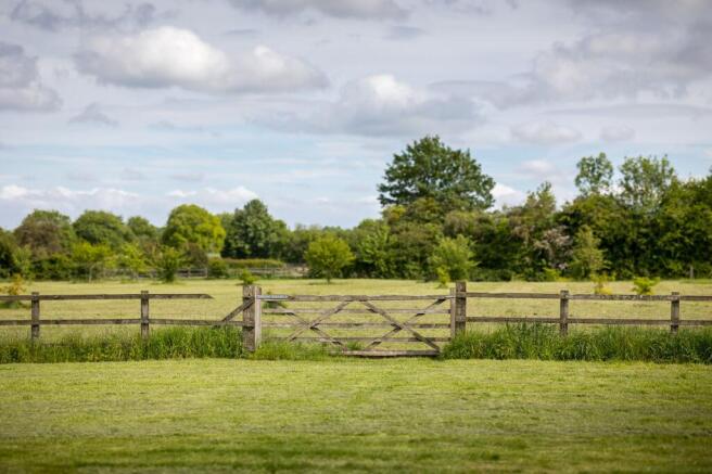
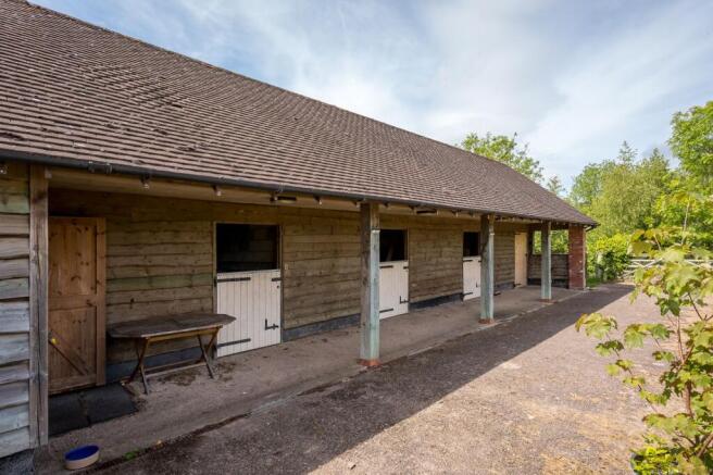
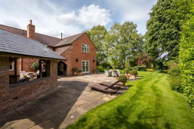
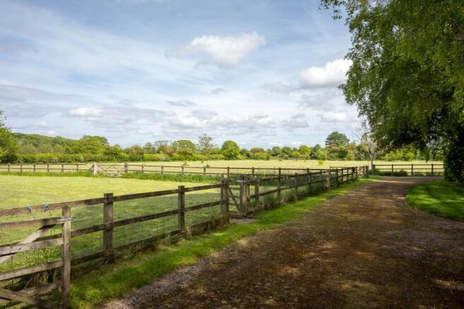
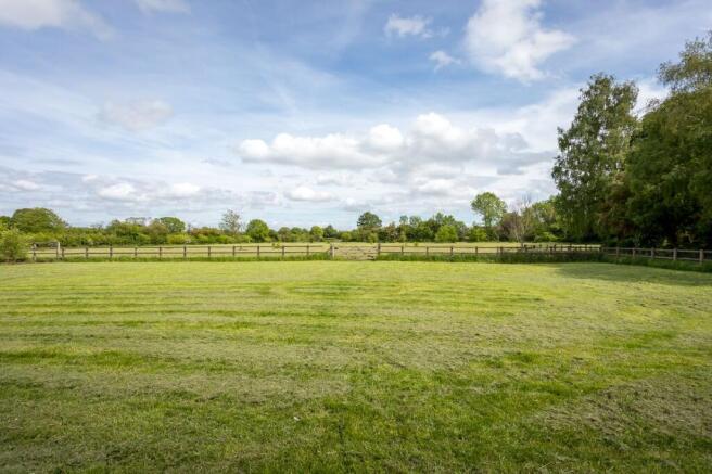
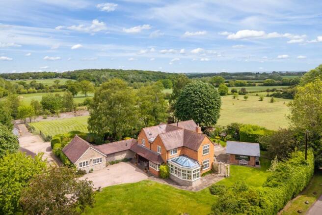
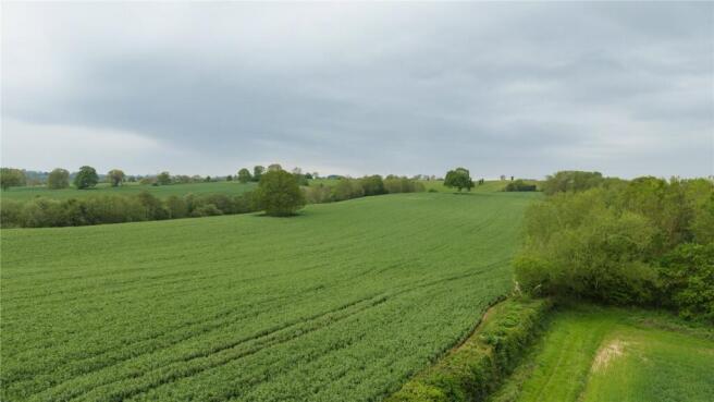
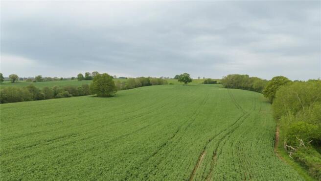
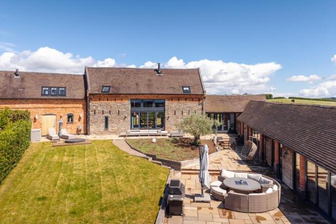
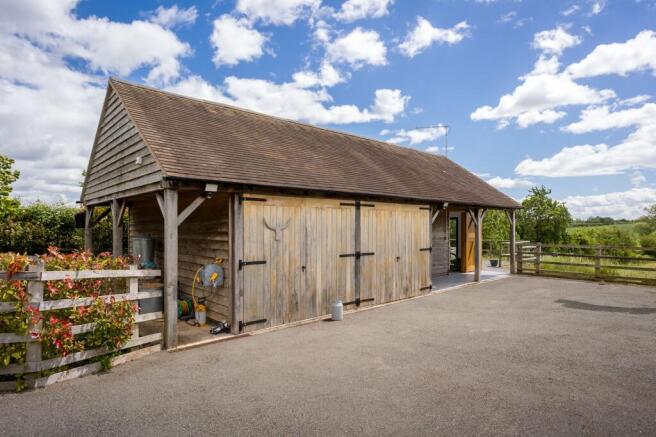
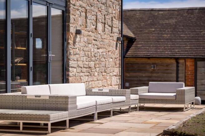
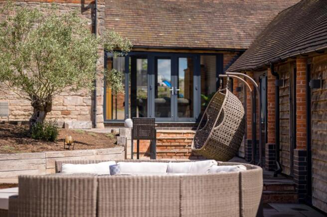
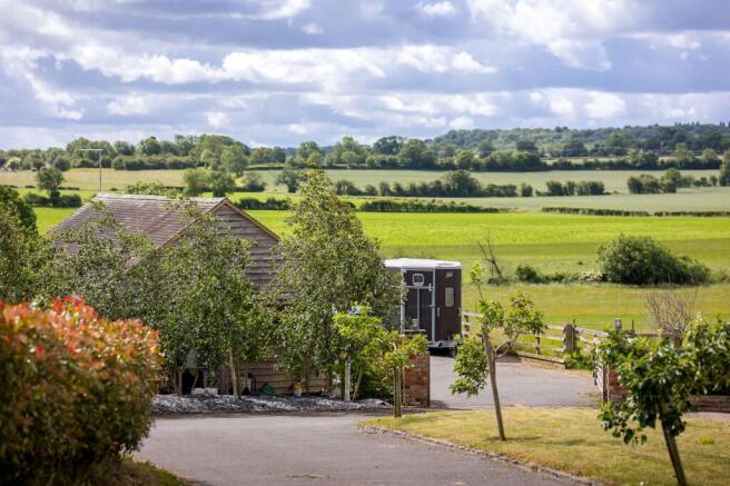
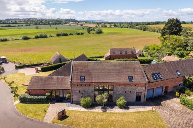
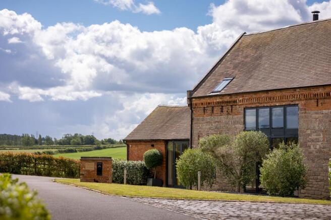
A well-equipped equestrian yard set in a sought-after rural location near Evesham, extending to approximately 7.63 acres. Featuring eight stables, a quality 20m x 40m all-weather ménage, large barn, extensive hardstanding and mains services connected. Further land available by separate negotiation.
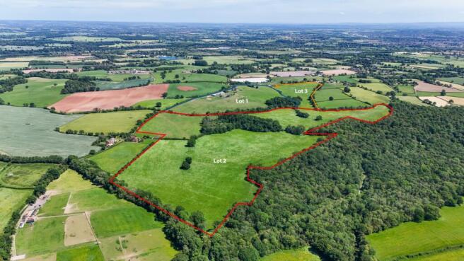
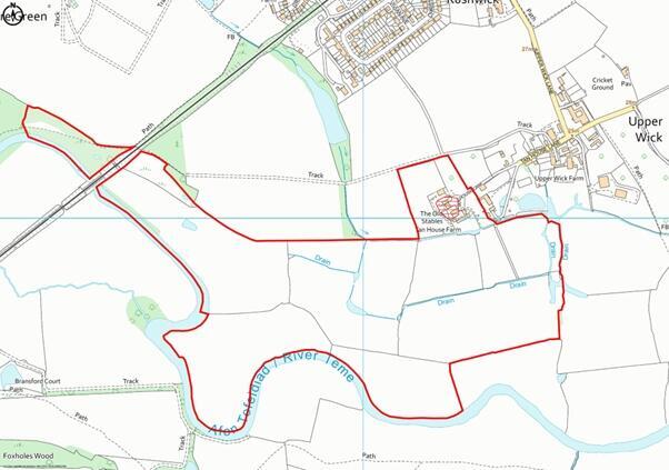
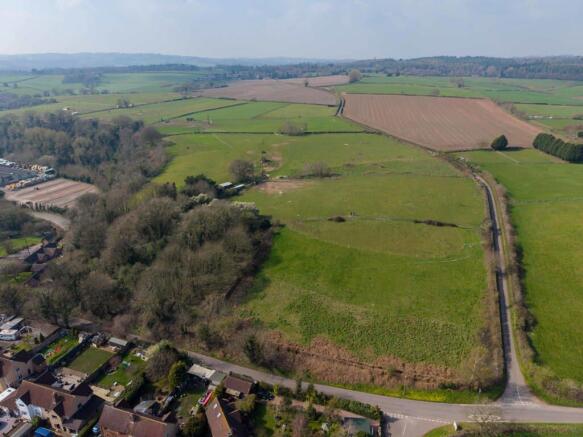
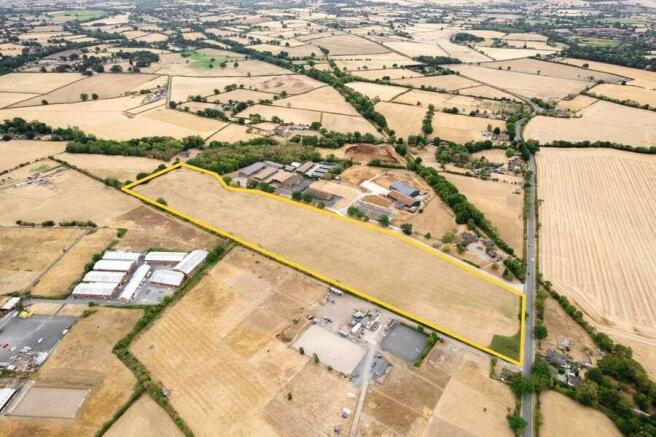
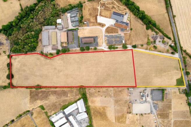
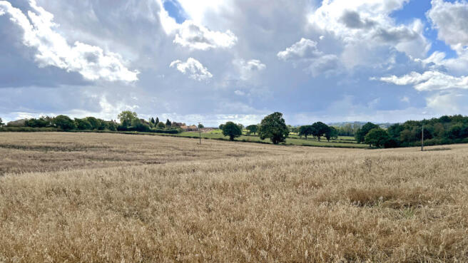
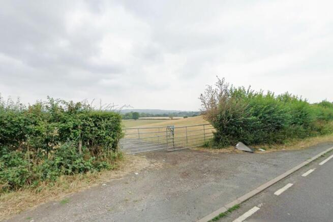
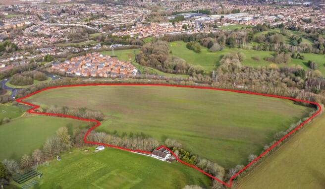
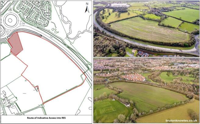
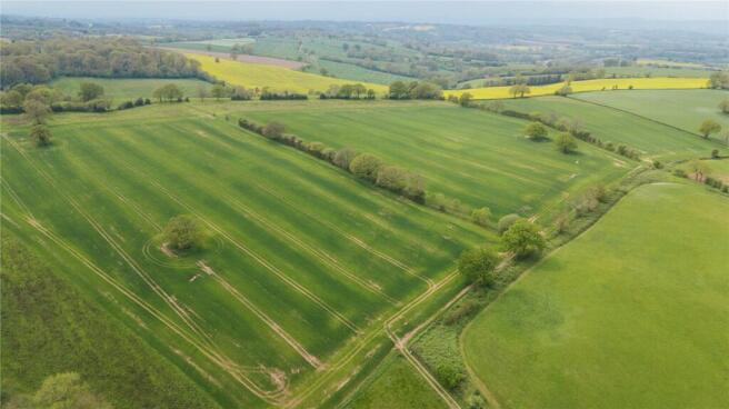
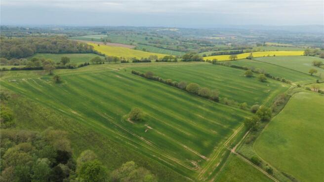
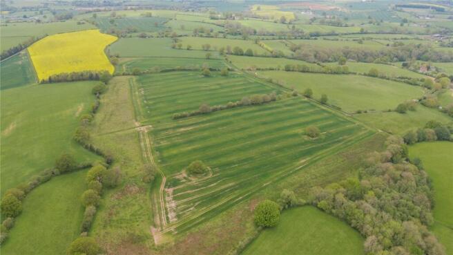
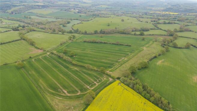
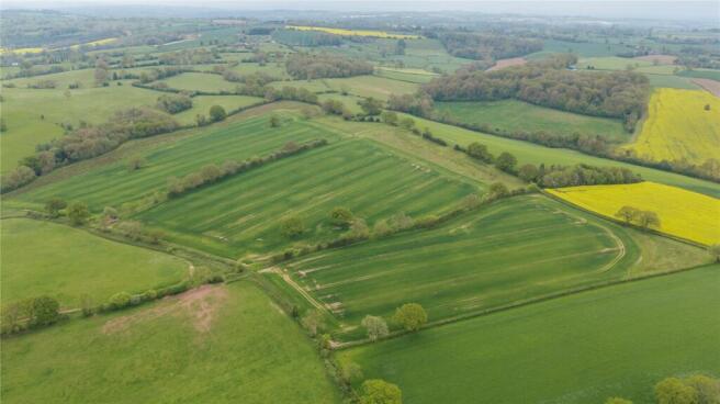
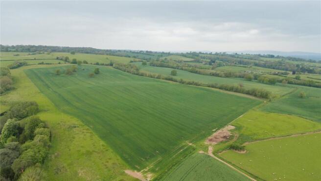
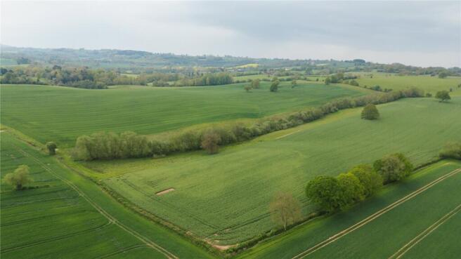
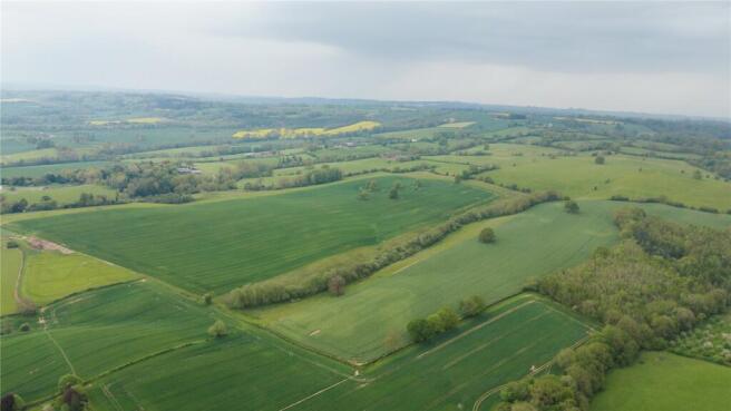
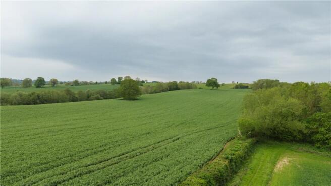
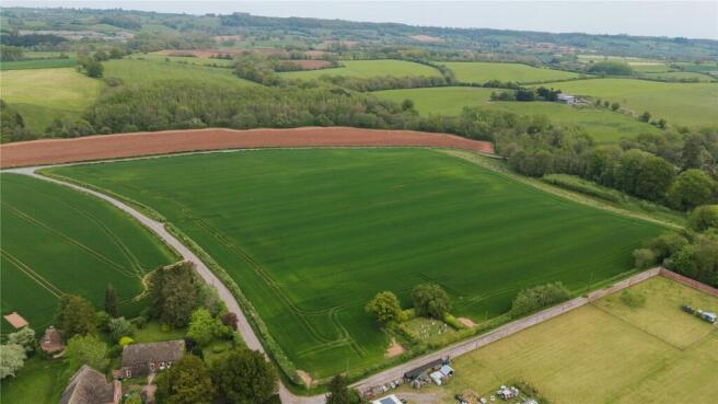
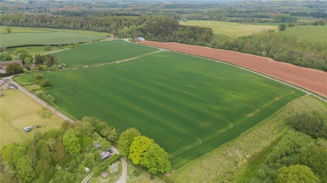
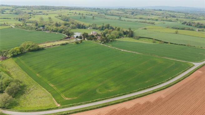
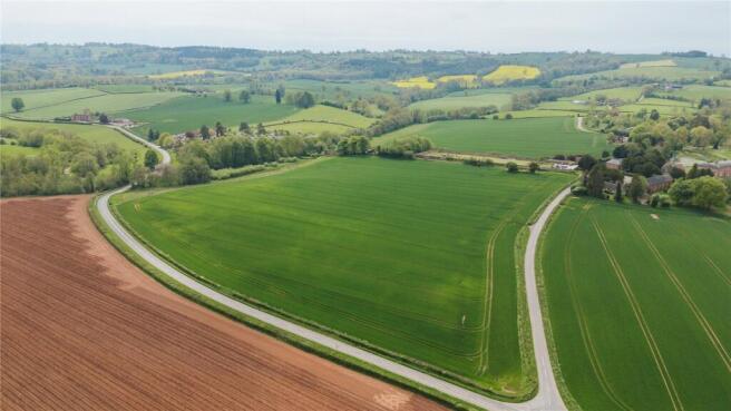
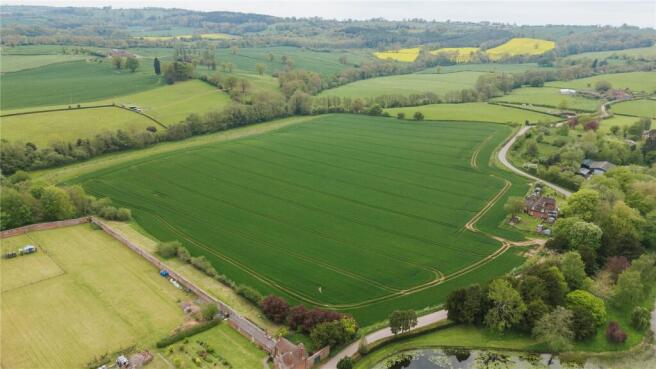
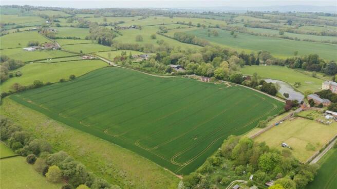
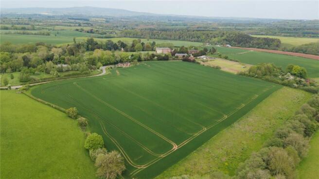
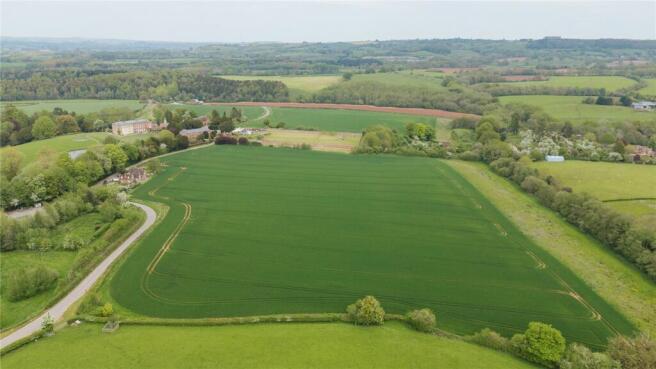
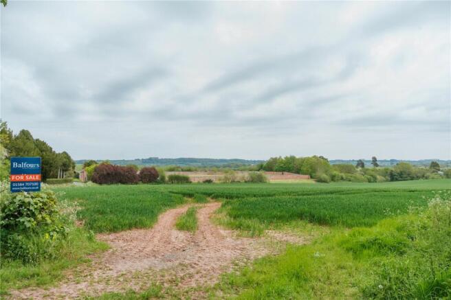
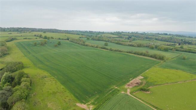
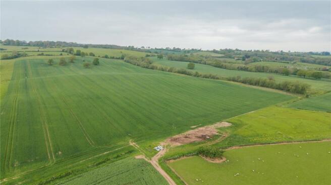
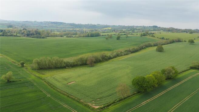
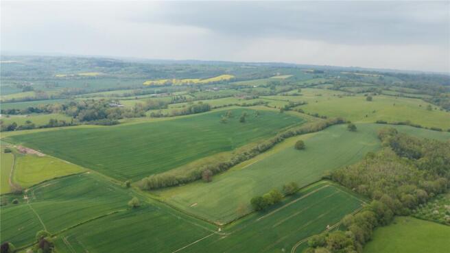
The Land is generally flat and comprises approximately 17.5 acres of arable land bound by mature trees and hedgerows. It is currently accessed from the northwest corner through a single gate off Upper Wick Lane. The Land is included within the Adopted South Worcestershire Development Plan Review (South Worcestershire Development Plan Review 2021 - 2041 - South Worcestershire Development Plan) as a strategic allocation forming part of an 83.29-hectare site at Rushwick (SWDPR 56): Land within the strategic allocation at Rushwick will be developed to deliver approximately 1,000 new dwellings within the Plan period, provide at least 5 hectares of employment land, a new railway station, a new primary school, retail and supporting services and other community facilities. See page 188 of the South Worcestershire Development Plan Review for an indictive concept plan. The Vendor supported the proposed allocation throughout the development of the SWDPR, entering into a Statement of Common Ground on 12 February 2025 stating that it will work with the South Worcestershire Councils and the other landowners on delivering the proposed expansion of Rushwick. Any future landowner is expected to comply with the stated objectives of RES and work with the South Worcestershire Councils and third-party landowners.
- For Sale by Informal Tender
- Allocated Strategic Land
- For Freehold Sale or Promotion Terms
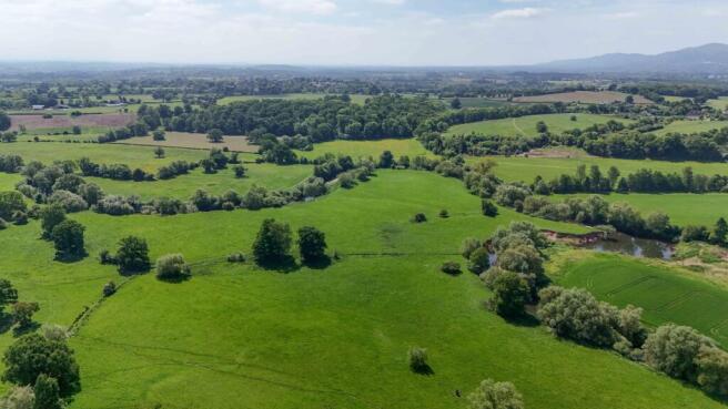
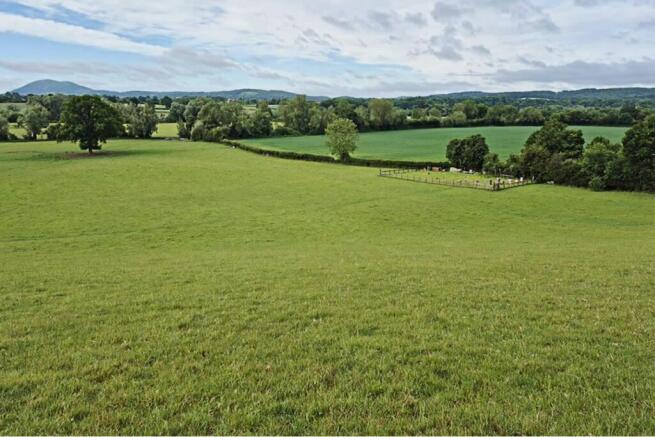
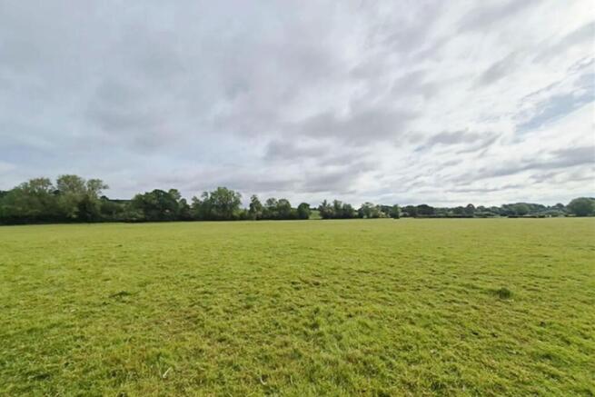
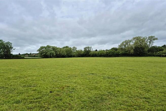
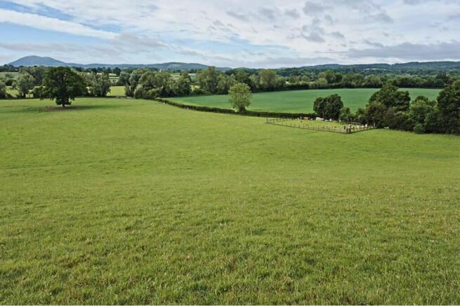
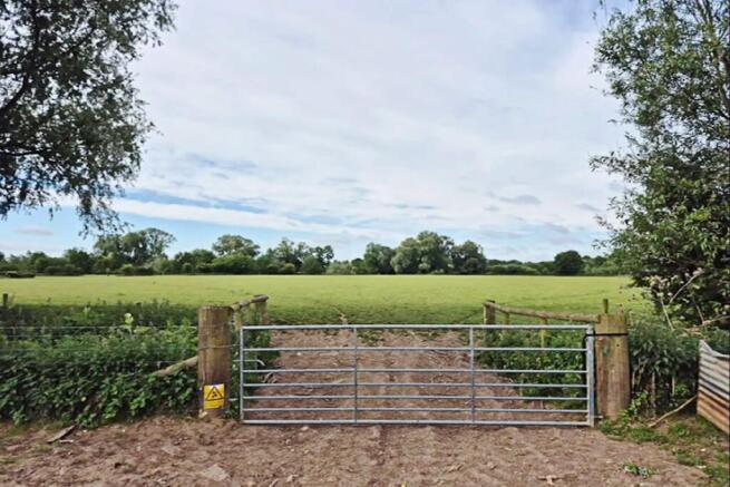
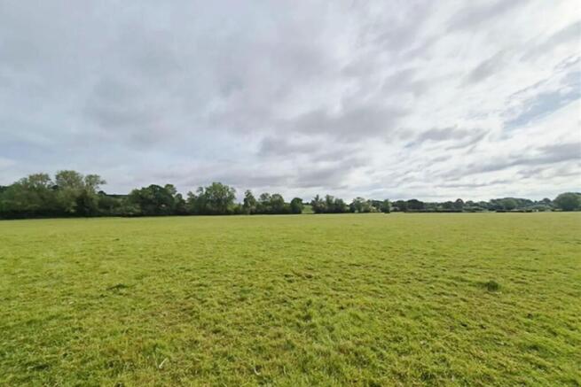
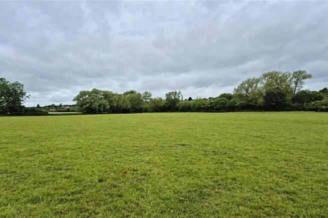
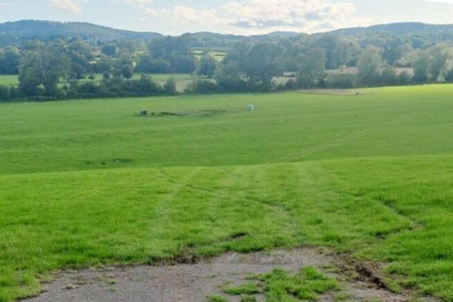
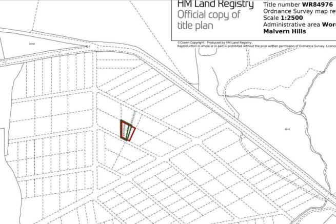
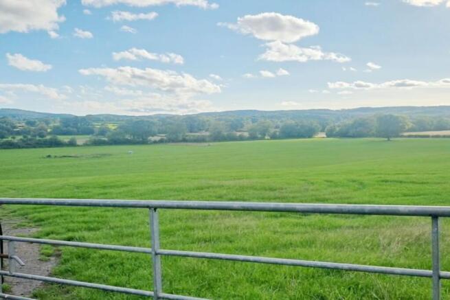
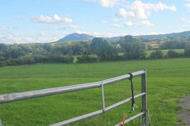
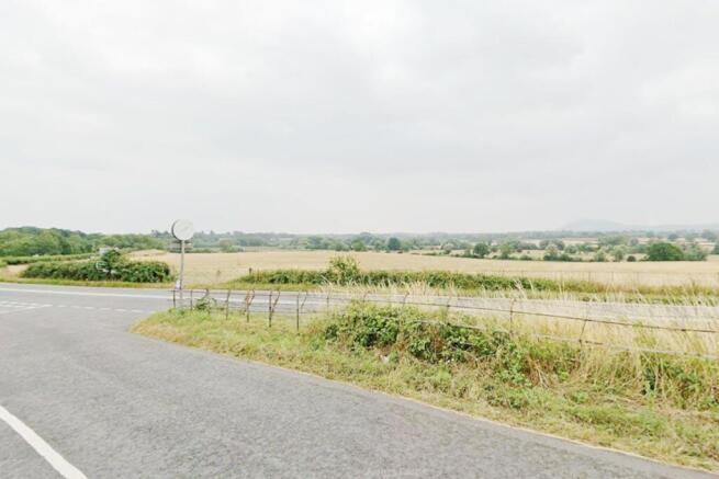
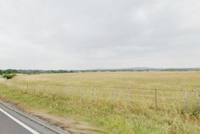
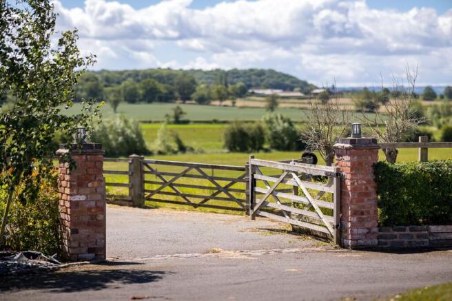
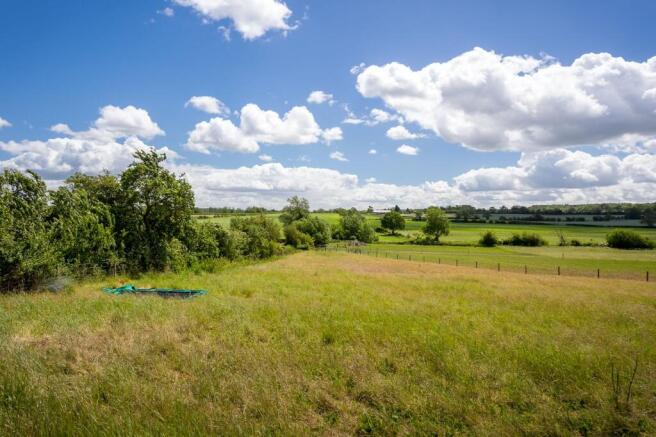
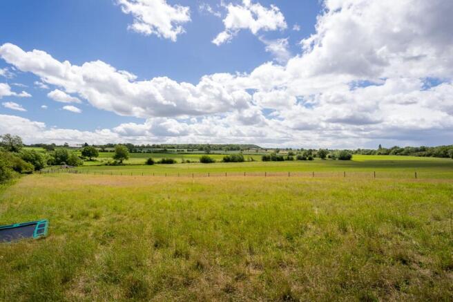
Large plot of land in stunning and affluent location offering potential for multiple uses and for immediate use. FREEHOLD land. Peaceful location in rural Worcestershire offering amazing views of the countryside and an excellent base to explore the region. Amenity land in an extremely high demand location near Cothridge and Broadwas only miles from the historic city of Worcester. Perfect for lifestyle and recreation use. Good location and benefits from two entrance ,fenced main gates , from the main public road. Nearby runs river Teme offering excellent fishing- subject to permit. The land is offered without planning permission and any future development is subject to gaining necessary consents from the local authority. Braveheart Auctions can offer no advice and no guarantees on planning. Amazing location with views across the Malvern Hills. The Malvern Hills are a dramatic 10-mile ridge rising above the Severn Plain on the Herefordshire-Worcestershire border. Designated as a National Landscape, this Area of Outstanding Natural Beauty is famous for its panoramic views, pure spring water, rich literary history, and extensive trail network managed by the Malvern Hills Trust. Worcester is a city in central England's West Midlands region. By the River Severn, medieval Worcester Cathedral houses royal tombs, a crypt and cloisters. At The Commandery, a museum traces the building's evolution from the Middle Ages through England's Civil War to the 1950s. The timber-framed...
- Amenity land in stunning location
- Perfect for immediate recreational use
- Located in affluent area
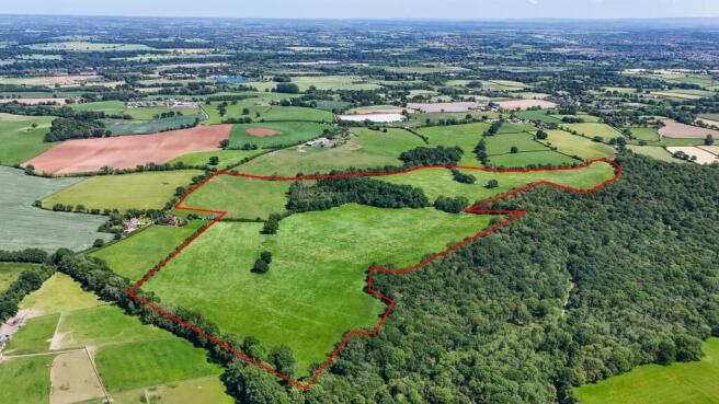
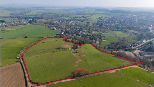
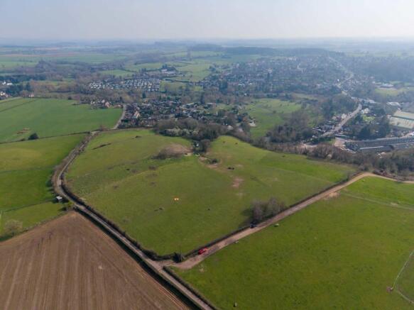
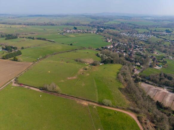
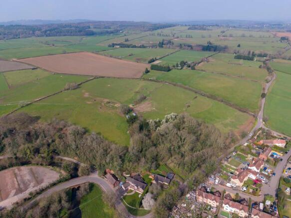
Greenfield land in an edge of settlement location, on the south side of Birmingham. The Land is relatively flat and is currently used for grazing. There is a public right of way which crosses in an easterly/westerly direction. Boundaries are well defined, with a mixture of trees and mature hedgerows. The Land extends to approximately 7.539 acres (3.05 hectares) as defined approximately by the red line boundary on these particulars for identification purposes only.
- For Sale by Informal Tender
- Edge of Settlement location
- 7.539 acres (3.05 hectares)
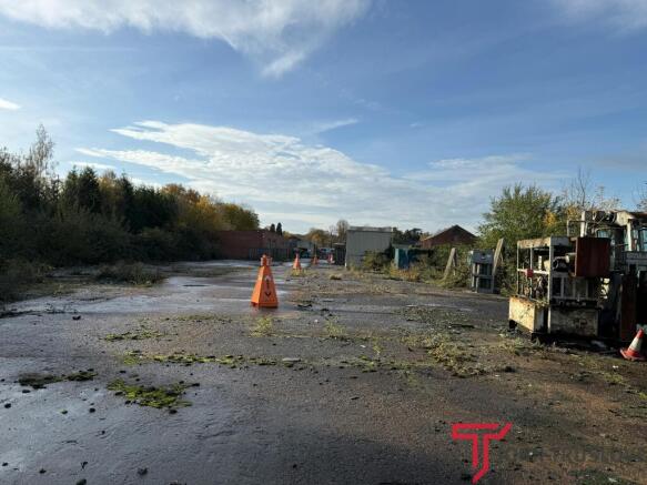
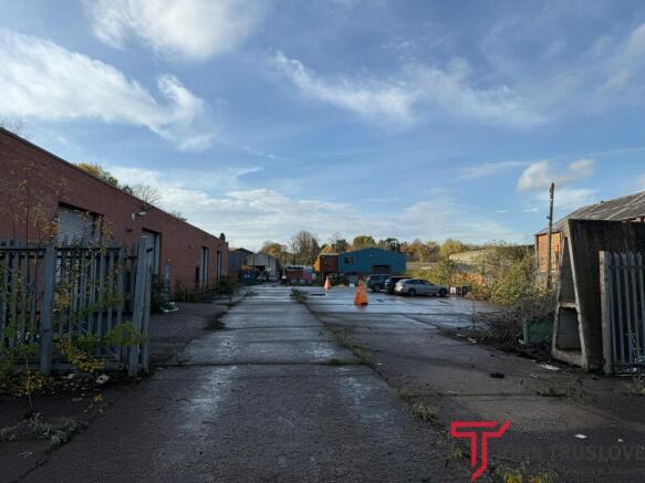
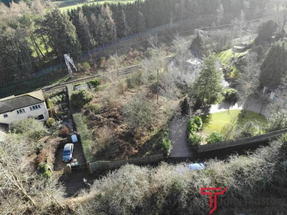
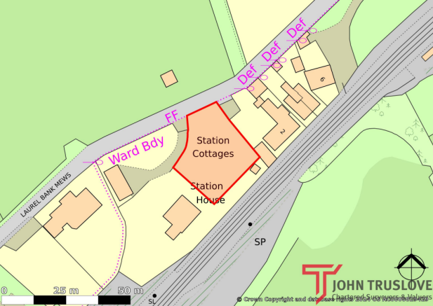
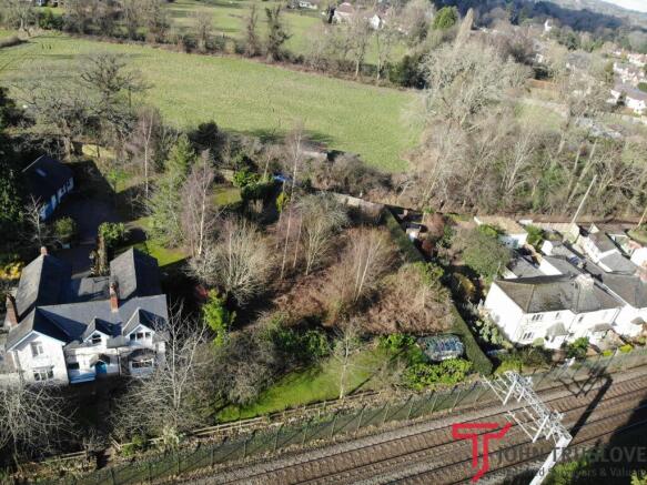
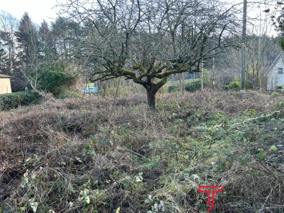
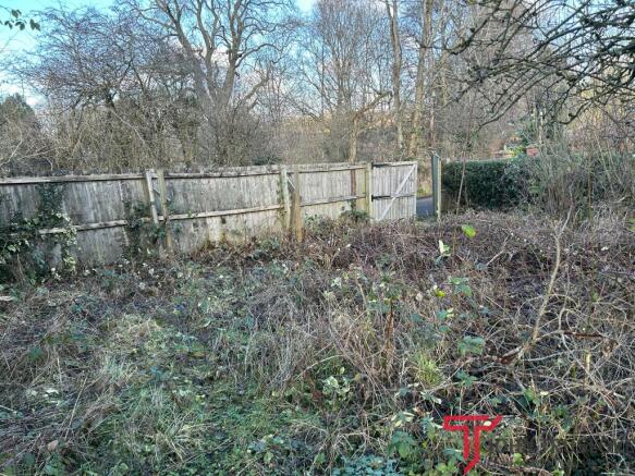
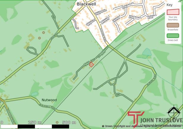
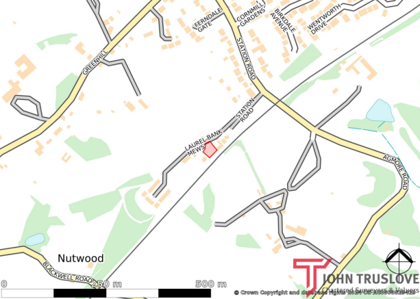
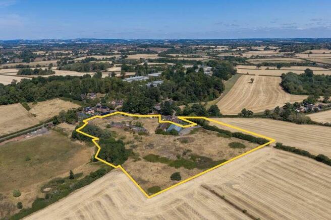
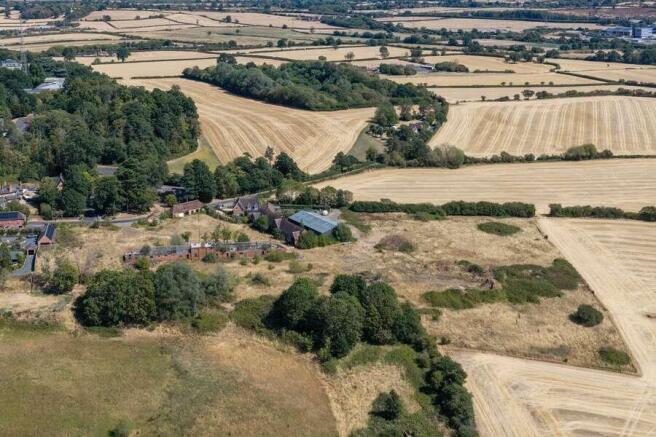
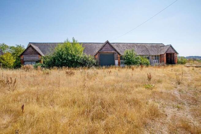
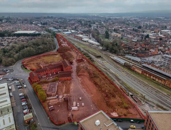
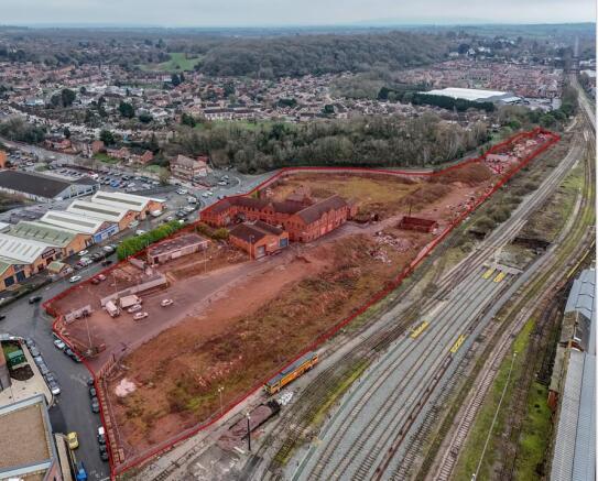
The site extends to 0.892 hectares (2.21 acres), running along the Birmingham Cross City Railway Line. The site is accessed via two entrances and is broadly flat across its length, although there is a retaining wall and concrete slope towards the back of the site.
Prime Development Opportunity in Worcester City Centre A large prominent redevelopment site comprising part of the former Sherriff’s Gate masterplan and extending to 5.9 acres. The site is irregular in shape and abuts the railway line to the west and Sherriff Street to the east. Many of the fo...
Tan House Farm is offered for sale as a whole, to include farmhouse, outbuildings, farm building and circa. 95 acres of productive permanent grassland (note. Circa 90 acres of the land is within the River Teme flood plain).The farmhouse is a most attractive period property, well-presented ...
The property comprises a 23 bedroom nursing home that has recently ceased trading and provides an attractive detached building set in private grounds. The accommodation briefly comprises a resident's lounge, dining room, commercial kitchen, administrative office, seven bedrooms and ancillary rooms at ground floor, with sixteen bedrooms and ancillary rooms at first floor. Within the basement there is a staff room and five storerooms. Externally, there is a large terrace to the front of the building, hardstanding areas to the rear, car parking to the right and lawned garden areas beyond along with a driveway.
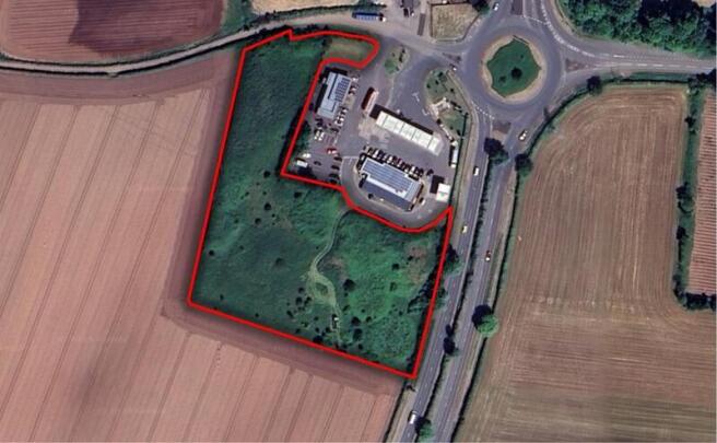
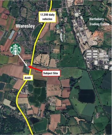
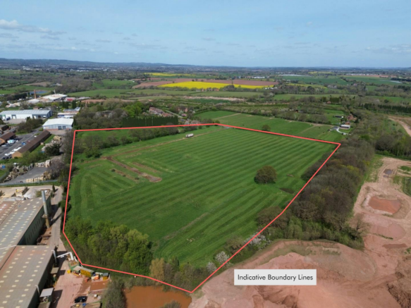
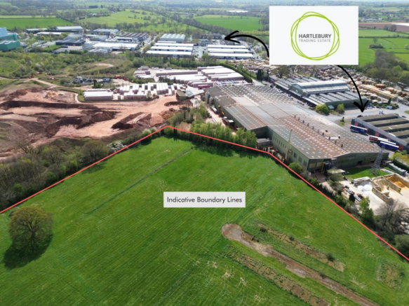
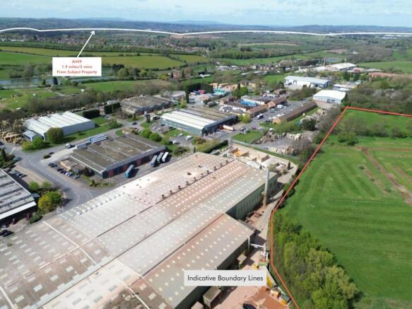
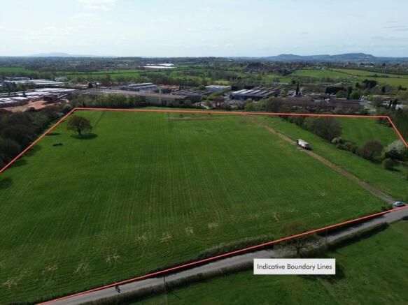
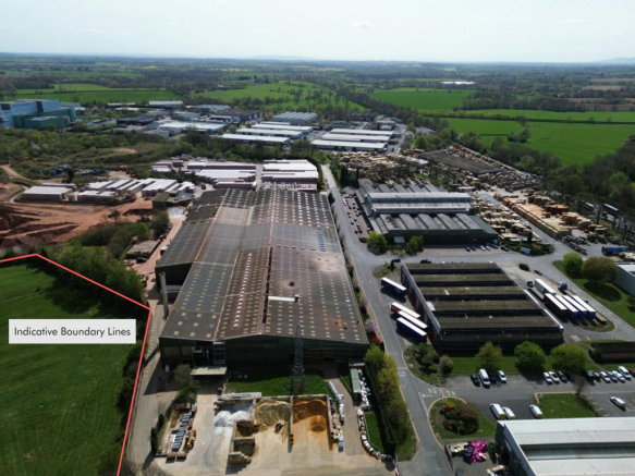
The site comprises greenfield land adjacent to an existing BP petrol filling station and Starbucks Drive Thru on the western side of the services. The site has a prominent c.270ft frontage to the A449 and is accessed via the existing PFS.
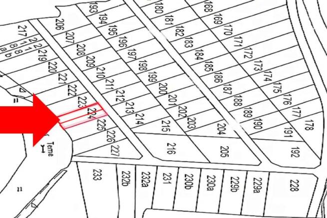
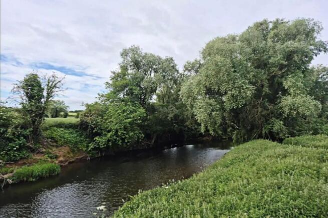
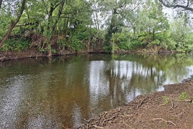
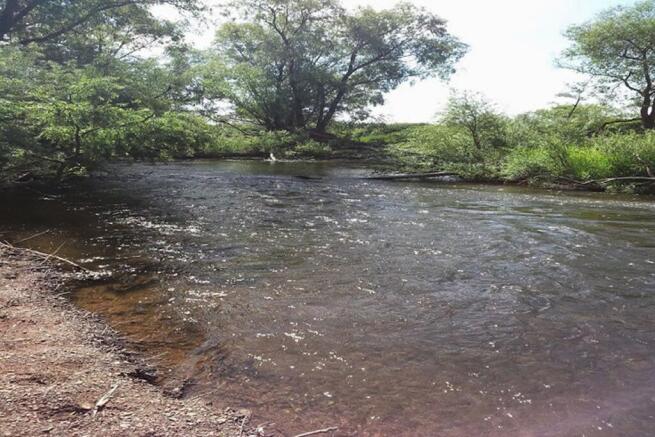
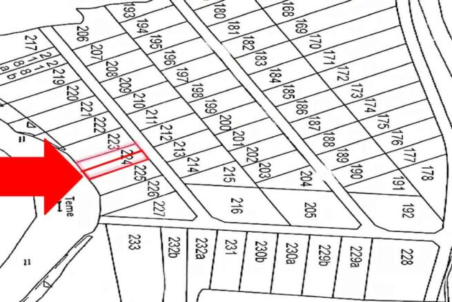
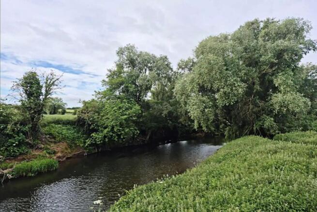
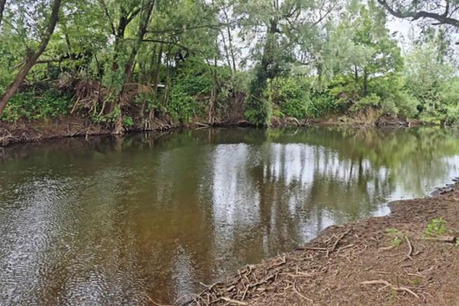
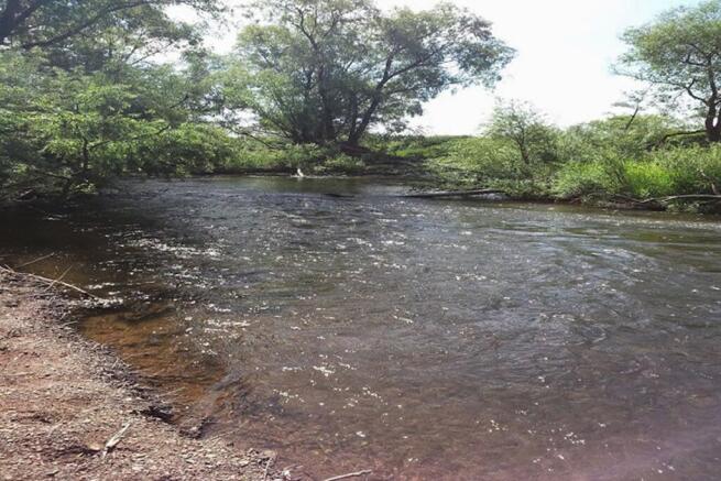
** Timed Online Auction - 16 July 2026 ** Plot of riverside pasture land just south of Broadwas, near Cotheridge, Worecestershire, lovely location and land is freehold. Pasture land of around 0.11 of an acre. Perfect for fishing and camping. .
Large plot of land in stunning and affluent location offering potential for multiple uses and for immediate use. FREEHOLD land. Peaceful location in rural Worcestershire offering amazing views of the countryside and an excellent base to explore the region. Amenity land in an extremely high demand location near Cothridge and Broadwas only miles from the historic city of Worcester. Perfect for lifestyle and recreation use. Good location and benefits from two entrance ,fenced main gates , from the main public road. Nearby runs river Teme offering excellent fishing- subject to permit. The land is offered without planning permission and any future development is subject to gaining necessary consents from the local authority. Braveheart Auctions can offer no advice and no guarantees on planning. Amazing location with views across the Malvern Hills. The Malvern Hills are a dramatic 10-mile ridge rising above the Severn Plain on the Herefordshire-Worcestershire border. Designated as a National Landscape, this Area of Outstanding Natural Beauty is famous for its panoramic views, pure spring water, rich literary history, and extensive trail network managed by the Malvern Hills Trust. Worcester is a city in central England's West Midlands region. By the River Severn, medieval Worcester Cathedral houses royal tombs, a crypt and cloisters. At The Commandery, a museum traces the building's evolution from the Middle Ages through England's Civil War to the 1950s. The timber-framed...
Description: Covering an area of circa 1.1 acres, the site is generally level and set in open countryside. It is bounded immediately to the west and north by Stanford Court and the converted coach houses, to the east by the first phase of development and to the south by mature woodland and a lake. To the north, beyond the coach houses, there are open fields leading down to the B4023. Planning: "Plot 15" of the extant planning permission shows a detached property at over 8,000 sqft across two floors with five bedrooms, multiple reception rooms, an orangery, swimming pool, along with a large garage block. It is part of a wider scheme with implemented full planning permission for 15 dwellings. The remaining 14 properties have been constructed and are occupied. Details can be found with application number 13/01623/FUL on the Malvern Hills District Council planning pages. The planning history of the site and the extant planning permission would indicate that there is potential for redeveloping the vacant plot for an alternative form of development to increase the number of dwellings. An alternative feasibility layout has been produced on "Plot 15" to show three smaller properties at circa 3,000 sqft. The three properties would give an overall square footage similar to the plot currently having the benefit of permission. This coupled with an established principle of development would enable a case to be constructed. It would be up to the purchaser to have their own...
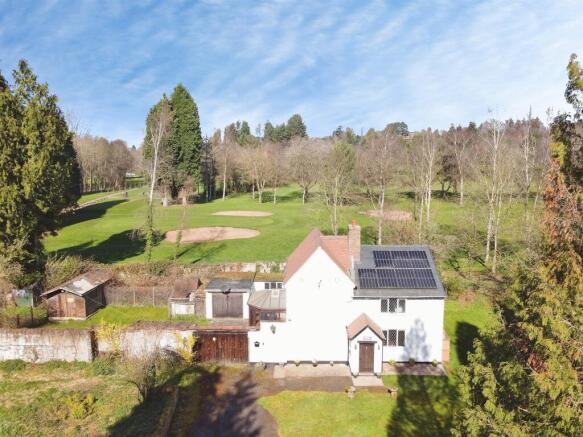
The Land is generally flat and comprises approximately 17.5 acres of arable land bound by mature trees and hedgerows. It is currently accessed from the northwest corner through a single gate off Upper Wick Lane. The Land is included within the Adopted South Worcestershire Development Plan Review (South Worcestershire Development Plan Review 2021 - 2041 - South Worcestershire Development Plan) as a strategic allocation forming part of an 83.29-hectare site at Rushwick (SWDPR 56): Land within the strategic allocation at Rushwick will be developed to deliver approximately 1,000 new dwellings within the Plan period, provide at least 5 hectares of employment land, a new railway station, a new primary school, retail and supporting services and other community facilities. See page 188 of the South Worcestershire Development Plan Review for an indictive concept plan. The Vendor supported the proposed allocation throughout the development of the SWDPR, entering into a Statement of Common Ground on 12 February 2025 stating that it will work with the South Worcestershire Councils and the other landowners on delivering the proposed expansion of Rushwick. Any future landowner is expected to comply with the stated objectives of RES and work with the South Worcestershire Councils and third-party landowners.
Greenfield land in an edge of settlement location, on the south side of Birmingham. The Land is relatively flat and is currently used for grazing. There is a public right of way which crosses in an easterly/westerly direction. Boundaries are well defined, with a mixture of trees and mature hedgerows. The Land extends to approximately 7.539 acres (3.05 hectares) as defined approximately by the red line boundary on these particulars for identification purposes only.
Location: The site is circa 1.3 acres and forms part of the land belonging to The Trustees of The Congregation of Priests of The Sacred Heart of Jesus of Betharram. It is located on the west side of the Worcester Road, Droitwich Spa in a predominantly residential area. The site is situated to the south of Droitwich town centre, approximately 1 mile from Droitwich Spa railway station, which provides regular services to Birmingham (under 1 hour to New Street Station) and Worcester (within 15 minutes). Local to numerous shops and supermarkets, the site is well placed to take advantage of local amenities. Within 0.6 miles of the site is The BMI Droitwich Spa Hospital and there are local amenities such as a Sainsbury's Local approximately 0.2 miles away. Near to the site are Chawson First School and Witton Middle School with the latter's playing fields immediately adjoining the site. Description: The development proposal shows a residential housing scheme for 9 units across circa 0.9 acres. The remainder of the site comprises a car park facility of up to 66 car parking spaces, totalling around 0.4 acres, which is to be delivered as part of the planning consent W/10/02571/PN. The car park is retained in the ownership of The Trustees of the Congregation of the Sacred Heart of Jesus of Betharram. The schedule of accommodation comprises 2 No. 3-bed semi-detached properties, 4 No. 4-bed link detached properties, 1 No 4-bed detached property (all with additional room in the...
Location: The property is situated on Castle Road, Kidderminster, in a mixed-use area of predominantly secondary retail and residential properties next to the River Stour. Kidderminster Town Centre is approximately 0.5 mile north via Park Lane and Worcester City Centre is approximately 14 miles south via the A449. The property is located approximately 0.5 miles to the west of Kidderminster Railway Station which provides a direct service to Birmingham New Street and Worcester. Description: The site extends to approximately 0.91 acres (0.37 ha) gross and comprises the original 1929 fire station building to the main frontage (extending to 371 sq m), a 1950s addition (extending to 742 sq m), a 5 storey drill tower with additional training accommodation (extending to 98 sq m) and double garage and lecture building to the rear of the site. The remainder of the site is generally hard surfaced providing parking and circulation. The broadly L-shaped site is accessed directly from Castle Road and shares an entrance with an adjoining historic monument. The boundaries of the property are the River Stour along the entire left hand boundary, when viewed from the road, Castle Road provides the front boundary with commercial and historic sites to the remaining two boundaries.
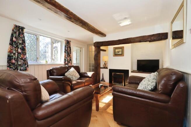
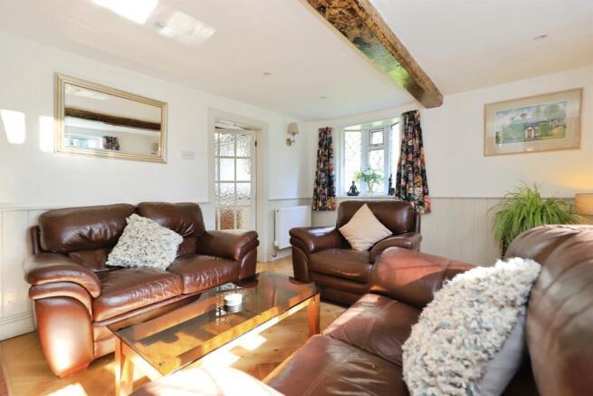
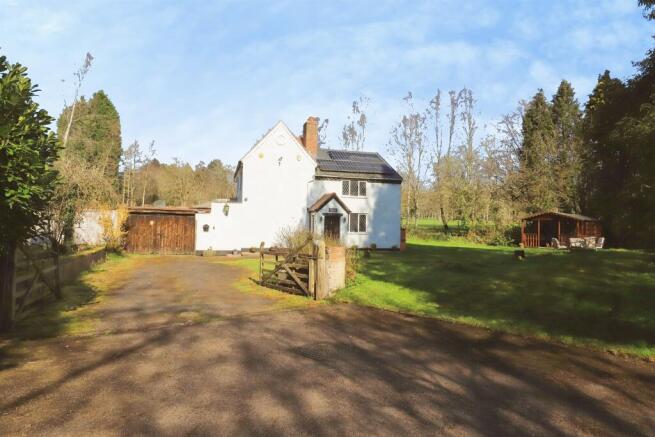
Description: Extending to a broadly regular and gently undulating area of pastureland, the site of 40 acres is defined by mature hedgerows and intermittent tree belts, creating a strong landscape framework. The western boundary fronts directly onto Hurst Lane, offering clear potential for access, whilst the surrounding context reflects a transition from existing residential development to open countryside. The site occupies a highly sustainable edge-of-settlement position, adjoining established residential areas to the west and south. Importantly, the land presents a compelling strategic development opportunity, being well related to the existing built form and demonstrating logical potential for future growth of the settlement. The site may be suitable for promotion through the emerging Local Plan process, including Call for Sites and site allocation, either independently or as part of a wider strategic landholding. Given ongoing housing land supply pressures within the district and the site's strong locational attributes, the land is considered to have good prospects for residential-led development in the medium to long term, subject to the necessary planning consents. Location: The land is situated to the east of Hurst Lane on the northern edge of Fernhill Heath, an attractive and well-served village located approximately 3 miles north of Worcester city centre. The site benefits from a highly accessible position, combining a semi-rural setting with proximity to...
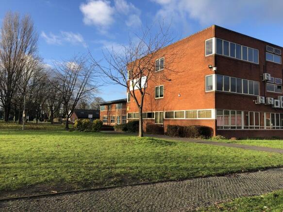
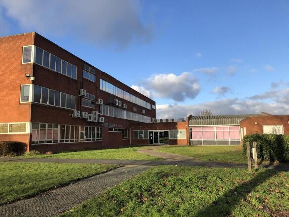
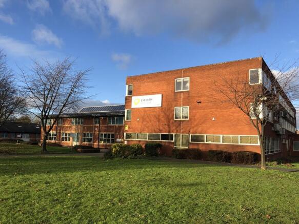
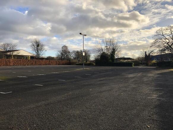
Location: The site is located a short walk south from Evesham town centre. It is well placed for bus links from the surrounding areas and is only a few minutes away from the A46. The site is surrounded by established retail and residential properties. Evesham is located roughly equidistant between Worcester, Cheltenham and Stratford upon-Avon. It lies within the Vale of Evesham, an area comprising the flood plain of the River Avon, which has been renowned for market gardening. The town centre, situated within a meander of the river, has numerous amenities including shops, schools, sports clubs, leisure centres and restaurants. Description: The site comprises the Evesham College Campus, made up of the entire car parking provision for the college along with the entirety of the college buildings. The site is circa 8.09 acres (3.27 hectares). A scheme was previously designed to utilise a 4.15-acre site for 57 No 2 and 3 bed houses- see planning below for more information. We envisage a scheme between 75-90 units could be achieved on the larger site, however it is the developer's responsibility to undertake their own design and planning due diligence.