Land For Sale in West Midlands (County)



 1/3
1/3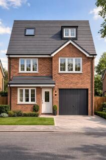
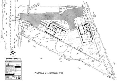
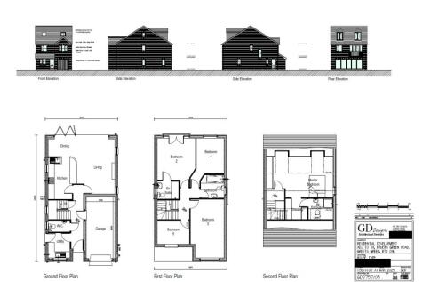
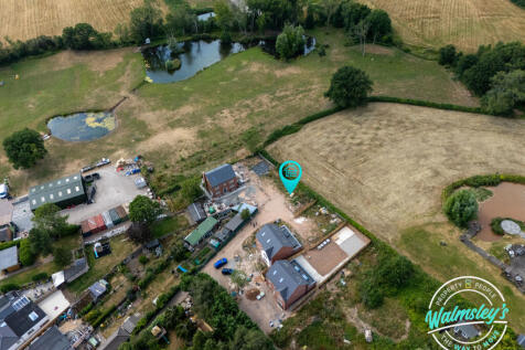
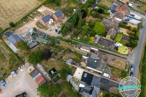
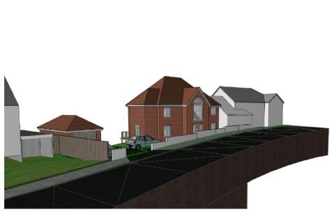
Prime residential development opportunity, with attractive views over the nearby canal network. An ideal project for developers seeking a well-located site with permission already in place for two substantial 5-bedroom detached houses. The plot offers a sustainable location close to local amenities.












 1/2
1/2


 1/3
1/3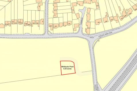
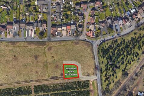
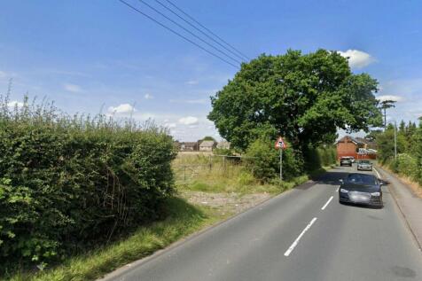
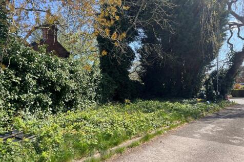
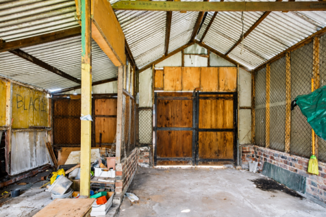
**For Sale By Online Auction To inspect the legal documents for this property go to our website to download the legal pack** A Plot of Land Measuring Approximately 930 sq m (10,010 sq ft) Freehold Guide Price = £45,000+ Location The land is situated on a...
 1/2
1/2

To be sold via unconditional TIMED ONLINE AUCTION on Tuesday 28th July 2026 (Visit auctionhouse.co.uk/online). BIDDING OPENS: 13:00 on Monday 27th July 2026 AUCTION ENDS: 11:00 on Tuesday 28th July 2026 GUIDE PRICE: £20,000 - £40,000









 1/4
1/4


Description: The site extends to approximately 0.72 acres (0.29 hectares) and comprises a former water pumping station, the former attendant's house (150 Goldthorn Hill), and associated grounds. The attractive Victorian pumping station dates from circa 1851 and is constructed in traditional red brick with limestone detailing beneath a slate roof, offering character and potential for sympathetic conversion. The former attendant's house, built in a similar style and period, further enhances the site's appeal and redevelopment prospects. The surrounding land is largely scrub, with a cluster of mature trees along the northern and western boundaries, together with areas of hardstanding. Both buildings are currently vacant and present a clear opportunity for refurbishment or comprehensive redevelopment, subject to the necessary consents. The property is sold as seen, and no building surveys are available. The site benefits from a secure, established access directly from Goldthorn Hill via a red brick boundary wall and palisade gates. Potential for secondary access from Upper Villiers Street has been explored at a preliminary level with the Local Authority; however, any further engagement with the Highway Authority will be the responsibility of the purchaser. Location: Located on Goldthorn Hill, the site is opposite Severn Trent Water's Treatment Works which lies to the south and is in a predominantly residential area with a range and mix of house types and ages. It is...
 1/3
1/3


Location: Hall Green is an area in south-east Birmingham. The postcode forms part of the Hall Green North ward in the constituency of Hall Green and Moseley. The constituency has a population of 122,500 (2022). The site is served by excellent transport connections. Hall Green station is located 0.2 miles (5-minute walk) from the site, with trains reaching Birmingham Snow Hill in just 17 minutes. The motorway network is also within easy each, with the M6 to the north accessible at Junction 6, 7 miles from the site. The M42 to the south can be reached at Junction 3, also 7 miles away. Three Ofsted "Good" Primary Schools are located within 500m of the site, with five Ofsted "Good" Secondary schools within 1 mile. Description: The site is approximately 0.17 acres and forms a rectangular-shaped area of hardstanding associated with the self-storage unit located immediately to the north. Silverlands Close to the south is a cul-desac of link-detached early 1970's residential properties, separated from the site by timber fencing along the boundary. Immediately adjacent the site to the north west are dwellings on Welby Road. Access is gained by an extension to Silverlands Close cul-de-sac. We understand this to be an adopted highway, but ask that interested parties make their own enquiries. Two housing developments have recently been completed in the immediate vicinity of the site. One of these notably includes the "Olympia" development by Linden Homes on the grounds of the...
 |1/4
|1/4


Planning permission has been obtained for the redevelopment of the existing site which extends for approximately 0.08 hectares with a four and five storey building to contain a retail unit on part of the ground floor with two flats also on the ground floor, together with a further 12 flats above. The decision document and associated plans / information are available via the Data Room on our website (subject to registration) or can be found on Dudley MBC planning website ( - planning application P18/0186).
 |1/5
|1/5


The site comprises an irregular shaped parcel of vacant grassland extending to approx. 6.65 acres (2.69h), on the east side of Lea Ford Road that was formerly used as school playing fields. The land is undeveloped and appears generally level, with mature tree belts and scrubland. The site is green belt and impacted by flood risk. The site is secured along its western boundary with wired and concrete post fencing. Access to the site is from Lea Ford Road, with a dropped kerb on the south-western corner.