Land For Sale in East Anglia
Paid partnerships can play a role in listing order
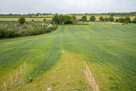
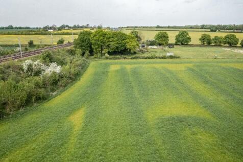
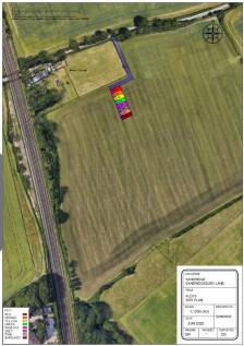
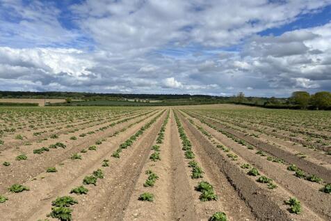
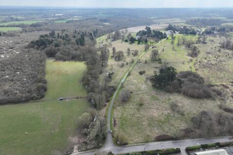
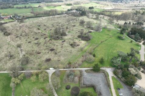
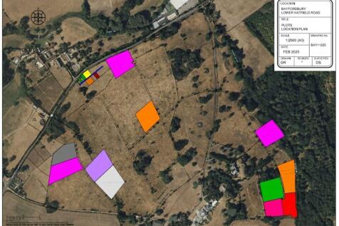
Greenbelt agricultural land. Available for agricultural or leisure use. Or residential or commercial use subject to the necessary consent.100m2 for £8000.200m2 for £16,000.300m2 for £18,000.400m2 for £22,000.Multiple plots or larger areas available if required.



 1/5
1/5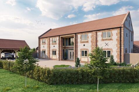
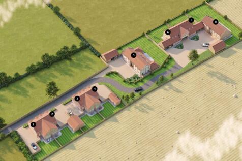
The land being offered for sale, extending in all to 0.72 hectares (1.77 acres) or thereabouts, presents an exciting opportunity to purchase a residential development site located on the edge of the village of Sedgeford, with the benefit of Full Planning Permission for the construction of eight r...

- An opportunity to acquire a residential development site of 0.72 hectares (1.77 acres) located just north of the village of Sedgeford, Norfolk.
- Detailed planning permission granted for the construction of 8 residential dwellings.
- Reserved Matters consent


 1/17
1/17


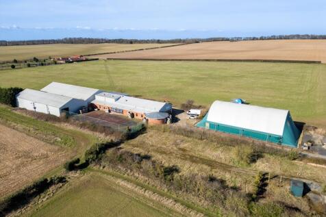
A substantial commercial farming opportunity extending to approximately 1,282 acres (519 hectares), offering highly productive predominantly Grade 1 and 2 irrigated arable land, five farmyards with agricultural buildings and irrigation infrastructure, available in six Lots.



 1/8
1/8


The land extends to approximately 8.51 hectares (21.02 acres) and received outline planning permission, on the 24th February 2026, for up to 160 dwellings, including market and affordable homes, flats and self-build plots.


 |1/4
|1/4


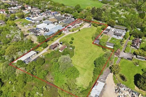
This land is offered for Promotion as a whole either by way of an Option or Promotion Agreement on terms to be agreed. The land comprises open grass fields extending to some 17 acres (6.87ha) in total as shown edged red on the plan overleaf. The land is bounded by established trees and hedgerows with some small ponds and divided diagonally by the access road to Dunmow Park House. The house is Grade II Listed by Historic England. Access to the land is from a gateway in the north-west corner of the field off Braintree Road. LOCATION The land is situated immediately to the south of Great Dunmow Town Centre and lies between Braintree Road and the B1256. The location benefits from excellent regional transport links with the B1256 and A120 trunk road operating as the main arterial route across North Essex and the A120 connecting to the M11, 8 miles to the west of the property. Stansted Airport is located approximately 6 miles to the north west. Great Dunmow is an affluent well established market town with a current population of over 3000 providing a full range of local facilities including primary and secondary schools, foodstores and local retail outlets. One of the strengths of the site is its sustainable location within walking distance of the Town Centre with its established infrastructure and local services and a variety of bus routes. There are established footway links to the Town Centre. PLANNING Great Dunmow is one of only two major settlements in...
 1/4
1/4


A prime development opportunity in Wivenhoe, Essex, with outline planning permission for 25 bungalows and a 60-bed care facility on a 3.52-acre site. Ideally located with strong transport links to Colchester and London, the scheme offers potential for a high-quality residential and care


 |1/8
|1/8


Approximately 229 acres of productive arable land and grassland with a four bedroom cottage located in an attractive rural position on the Shotley peninsular between the Rivers Stour and River Orwell with direct access to the Coastal Path route and providing related river access.


 1/61
1/61


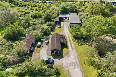
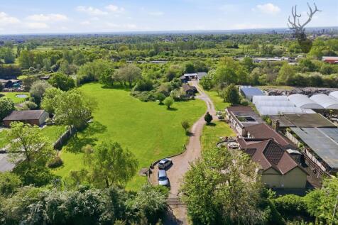
Leisure business and smallholding/equestrian opportunity situated in 52.75 acres of rolling countryside. Grade II Listed 16th Century six-bedroom farmhouse with a thriving holiday cottage complex and an extensive range of outbuildings. For sale as a whole or in two lots.


 1/2
1/2

Plot B 0.28 hectare (0.700 acres). This site has Detailed Planning Consent (discharged) dated 26.8.20 for 2,322.5 sq m (25,000 sq ft) for B2, B8 and E uses. Plot C 2.12 hectares (5.244 acres), 4,495 sq m (48,396 sq ft) with Outline Planning Consent dated 26.8.22 for B1, B2 and B8 and 87 car parking spaces. Reference: DC/21/5742/out. This development provides a natural extension to the established industrial estate. Formal planning approval is expected in mid July 2025. Plot C Landscape/Drainage and Offsite Landscaping 0.38 hectare (0.956 acres), with Outline Planning Consent. Non developable but integral to the overall development. The existing main site access and (adopted) Estate Road will serve the new development areas


 1/5
1/5The land being offered for sale, extending in all to 0.72 hectares (1.77 acres) or thereabouts, presents an exciting opportunity to purchase a residential development site located on the edge of the village of Sedgeford, with the benefit of Full Planning Permission for the construction of eight r...


 |1/26
|1/26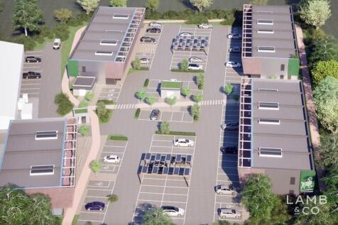

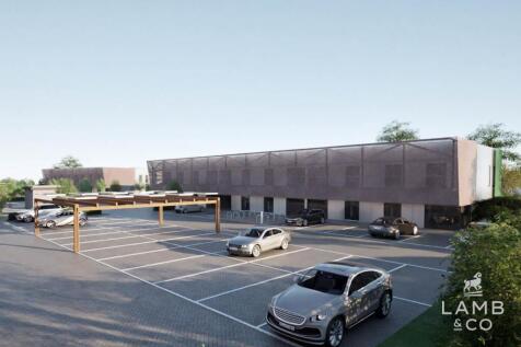
A rare opportunity to acquire a consented commercial development site of approximately 2.89 acres with planning granted for 45,725 Sq Ft of office space offering a potential return in the region of £1,000,000 PA once developed. The site is located in a recessed position off of London Road, Copfor...
 1/4
1/4


The site is a former fertiliser factory and comprises approx 12 acres of brownfiled land along with an additional 50 acres of greenfield land. The additional plots are provided in 3 sites, located to the north and west of the main site. The site provides an excellent opportunity to develop a mixture of uses.